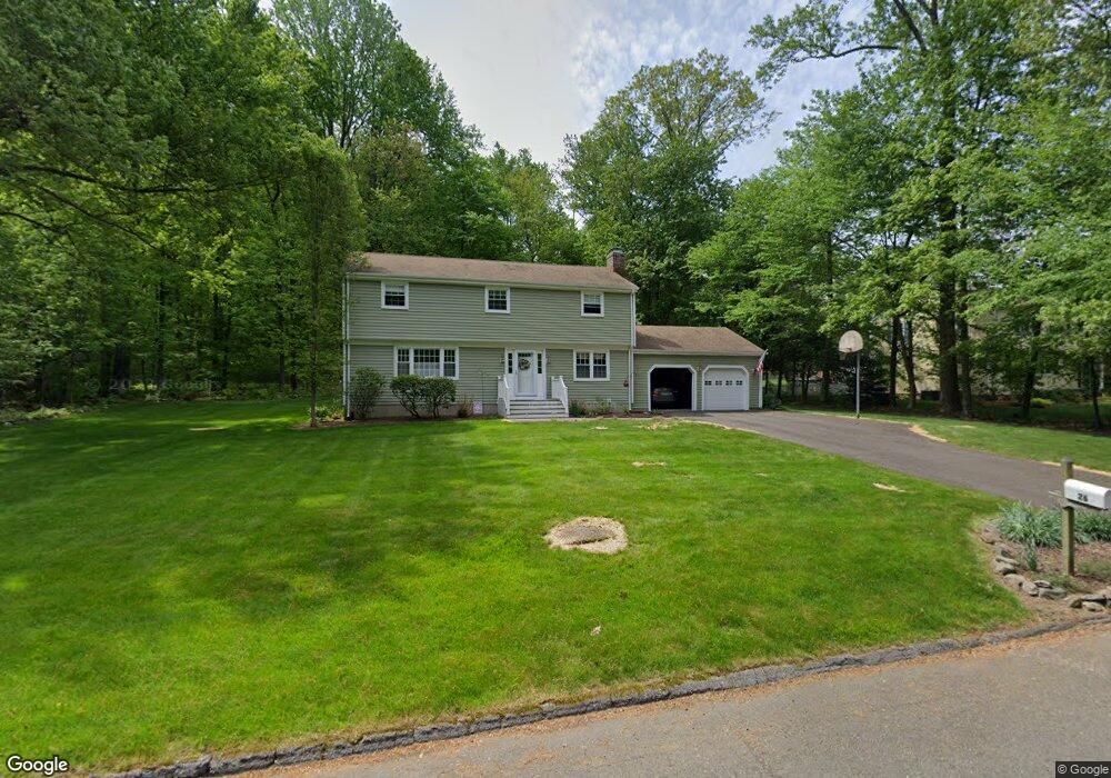
26 Pambar Rd Trumbull, CT 06611
Daniel Farm District NeighborhoodEstimated Value: $666,521 - $762,000
4
Beds
3
Baths
2,091
Sq Ft
$344/Sq Ft
Est. Value
About This Home
This home is located at 26 Pambar Rd, Trumbull, CT 06611 and is currently estimated at $718,880, approximately $343 per square foot. 26 Pambar Rd is a home located in Fairfield County with nearby schools including Daniels Farm School, Hillcrest Middle School, and Trumbull High School.
Ownership History
Date
Name
Owned For
Owner Type
Purchase Details
Closed on
Sep 30, 2025
Sold by
Daly James R and Daly Karen A
Bought by
Daly James R and Daly Karen A
Current Estimated Value
Purchase Details
Closed on
Apr 30, 2014
Sold by
Dally James and Dally Karen
Bought by
Dally Karen
Home Financials for this Owner
Home Financials are based on the most recent Mortgage that was taken out on this home.
Original Mortgage
$45,000
Interest Rate
4.42%
Purchase Details
Closed on
Feb 1, 2010
Sold by
Bklemba Lori
Bought by
Phh Mortgage
Purchase Details
Closed on
Apr 16, 1987
Sold by
Mclaughlin John
Bought by
Daly James R
Create a Home Valuation Report for This Property
The Home Valuation Report is an in-depth analysis detailing your home's value as well as a comparison with similar homes in the area
Home Values in the Area
Average Home Value in this Area
Purchase History
| Date | Buyer | Sale Price | Title Company |
|---|---|---|---|
| Daly James R | -- | -- | |
| Dally Karen | -- | -- | |
| Phh Mortgage | -- | -- | |
| Daly James R | $288,000 | -- |
Source: Public Records
Mortgage History
| Date | Status | Borrower | Loan Amount |
|---|---|---|---|
| Previous Owner | Daly James R | $75,000 | |
| Previous Owner | Daly James R | $45,000 |
Source: Public Records
Tax History
| Year | Tax Paid | Tax Assessment Tax Assessment Total Assessment is a certain percentage of the fair market value that is determined by local assessors to be the total taxable value of land and additions on the property. | Land | Improvement |
|---|---|---|---|---|
| 2025 | $11,379 | $307,860 | $152,040 | $155,820 |
| 2024 | $11,052 | $307,860 | $152,040 | $155,820 |
| 2023 | $10,883 | $307,860 | $152,040 | $155,820 |
| 2022 | $10,715 | $307,860 | $152,040 | $155,820 |
| 2021 | $1,333 | $276,640 | $138,250 | $138,390 |
| 2020 | $9,947 | $276,640 | $138,250 | $138,390 |
| 2018 | $9,729 | $276,640 | $138,250 | $138,390 |
| 2017 | $9,544 | $276,640 | $138,250 | $138,390 |
| 2016 | $9,365 | $276,640 | $138,250 | $138,390 |
| 2015 | $9,463 | $280,800 | $138,300 | $142,500 |
| 2014 | $9,261 | $280,800 | $138,300 | $142,500 |
Source: Public Records
Map
Nearby Homes
- 97 Greenbrier Rd
- 23 Federal Rd
- 15 Coral Dr
- 424 Waverly Rd
- 17 Moose Hill Rd
- 121 Lewis Rd
- 10 Doe Hollow Dr
- 35 Greenfield Dr
- 2 Doe Hollow Dr
- 9 Lazy Brook Rd
- 93 Putting Green Rd N
- 699 Daniels Farm Rd
- 176 Strobel Rd
- 110 Porters Hill Rd
- 244 Strobel Rd
- 16 Winthrop Woods Rd
- 15 Squire Ct
- 43 Woodmere Dr
- 4 Winthrop Woods Rd
- 2 Winthrop Woods Rd
Your Personal Tour Guide
Ask me questions while you tour the home.