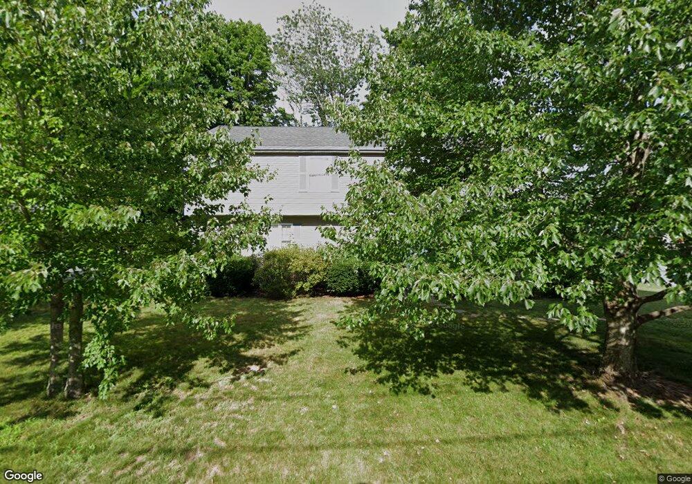
26 Pearl St Natick, MA 01760
Estimated Value: $645,000 - $750,000
3
Beds
2
Baths
1,253
Sq Ft
$547/Sq Ft
Est. Value
About This Home
This home is located at 26 Pearl St, Natick, MA 01760 and is currently estimated at $684,897, approximately $546 per square foot. 26 Pearl St is a home located in Middlesex County with nearby schools including Natick High School, Johnson Elementary School, and J F Kennedy Middle School.
Ownership History
Date
Name
Owned For
Owner Type
Purchase Details
Closed on
Sep 16, 2010
Sold by
Houde Thomas and Houde Christina
Bought by
Hassett-Houde Tr Thomas and Houde Christina G
Current Estimated Value
Purchase Details
Closed on
Nov 20, 2008
Sold by
Pinnacle Capital Grp L
Bought by
Houde Christine and Houde Thomas
Purchase Details
Closed on
May 19, 2008
Sold by
Losurdo Philip J
Bought by
Pinnacle Capital Grp L
Purchase Details
Closed on
Nov 7, 1996
Sold by
Mitchell Roy E
Bought by
Losurdo Philip J
Home Financials for this Owner
Home Financials are based on the most recent Mortgage that was taken out on this home.
Original Mortgage
$170,800
Interest Rate
8.1%
Mortgage Type
Purchase Money Mortgage
Purchase Details
Closed on
Nov 23, 1994
Sold by
Est Mitchell Maude E and Zaltas Arnold I
Bought by
Mitchell Roy E
Home Financials for this Owner
Home Financials are based on the most recent Mortgage that was taken out on this home.
Original Mortgage
$130,000
Interest Rate
8.91%
Mortgage Type
Purchase Money Mortgage
Create a Home Valuation Report for This Property
The Home Valuation Report is an in-depth analysis detailing your home's value as well as a comparison with similar homes in the area
Home Values in the Area
Average Home Value in this Area
Purchase History
| Date | Buyer | Sale Price | Title Company |
|---|---|---|---|
| Hassett-Houde Tr Thomas | -- | -- | |
| Houde Christine | $330,000 | -- | |
| Pinnacle Capital Grp L | -- | -- | |
| Losurdo Philip J | $110,000 | -- | |
| Mitchell Roy E | $50,000 | -- |
Source: Public Records
Mortgage History
| Date | Status | Borrower | Loan Amount |
|---|---|---|---|
| Previous Owner | Mitchell Roy E | $161,000 | |
| Previous Owner | Mitchell Roy E | $170,800 | |
| Previous Owner | Mitchell Roy E | $130,000 |
Source: Public Records
Tax History Compared to Growth
Tax History
| Year | Tax Paid | Tax Assessment Tax Assessment Total Assessment is a certain percentage of the fair market value that is determined by local assessors to be the total taxable value of land and additions on the property. | Land | Improvement |
|---|---|---|---|---|
| 2025 | $6,931 | $579,500 | $0 | $579,500 |
| 2024 | $6,820 | $556,300 | $0 | $556,300 |
| 2023 | $6,175 | $488,500 | $0 | $488,500 |
| 2022 | $6,331 | $474,600 | $0 | $474,600 |
| 2021 | $6,366 | $455,600 | $0 | $455,600 |
| 2020 | $4,655 | $438,100 | $0 | $438,100 |
| 2019 | $5,618 | $438,100 | $0 | $438,100 |
| 2018 | $5,562 | $426,200 | $0 | $426,200 |
| 2017 | $5,581 | $370,800 | $0 | $370,800 |
| 2016 | $4,919 | $362,500 | $0 | $362,500 |
| 2015 | $4,681 | $338,700 | $0 | $338,700 |
Source: Public Records
Map
Nearby Homes
- 8 Floral Ave Unit 8
- 8 Floral Avenue Extension
- 48 S Main St Unit 7
- 15 Church St Unit 3
- 47 High St
- 58 W Central St
- 49 Summer St
- 25 Forest Ave
- 11 Avon St
- 6B Lincoln St Unit 6B
- 4B Lincoln St Unit 4B
- 6 Ambler Ct
- 5 Wilson St Unit 5A
- 3 Wilson St Unit 3B
- 216-218 S Main St
- 34 N Main St Unit 2
- 2 Yuba Place
- 26 Walnut St
- 4 Willow St
- 62 E Central St Unit 305
- 26 Pearl St Unit 1
- 26 Pearl St Unit 2
- 26 Pearl St Unit St.
- 1 Diamond St
- 27 Plain St
- 30 Pearl St
- 27 Pearl St
- 25 Pearl St
- 25 Pearl St Unit 25
- 25 Plain St
- 24 Pearl St
- 24 Pearl St Unit 1
- 33 Plain St
- 31 Pearl St
- 31 Pearl St Unit 2
- 31 Pearl St Unit 1
- 29 Pearl St
- 33 Pearl St
- 33 Pearl St Unit 2
- 33 Pearl St Unit B