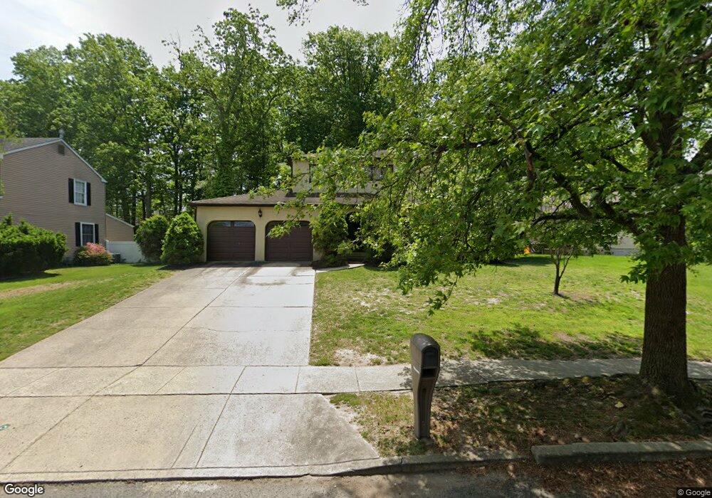
26 Pembrook Rd Blackwood, NJ 08012
Washington Township NeighborhoodEstimated Value: $345,155 - $472,000
--
Bed
--
Bath
1,907
Sq Ft
$223/Sq Ft
Est. Value
About This Home
This home is located at 26 Pembrook Rd, Blackwood, NJ 08012 and is currently estimated at $425,289, approximately $223 per square foot. 26 Pembrook Rd is a home located in Gloucester County with nearby schools including Washington Township High School, Bells Elementary School, and Orchard Valley Middle School.
Ownership History
Date
Name
Owned For
Owner Type
Purchase Details
Closed on
Jul 2, 2025
Sold by
Deangelo Edmund M and Deangelo Anna M
Bought by
Edmund And Anna Deangelo Living Trust and Deangelo
Current Estimated Value
Purchase Details
Closed on
Jul 18, 1983
Bought by
Deangelo Edmund M and Deangelo Anna M
Create a Home Valuation Report for This Property
The Home Valuation Report is an in-depth analysis detailing your home's value as well as a comparison with similar homes in the area
Home Values in the Area
Average Home Value in this Area
Purchase History
| Date | Buyer | Sale Price | Title Company |
|---|---|---|---|
| Edmund And Anna Deangelo Living Trust | -- | None Listed On Document | |
| Edmund And Anna Deangelo Living Trust | -- | None Listed On Document | |
| Deangelo Edmund M | $85,500 | -- |
Source: Public Records
Tax History Compared to Growth
Tax History
| Year | Tax Paid | Tax Assessment Tax Assessment Total Assessment is a certain percentage of the fair market value that is determined by local assessors to be the total taxable value of land and additions on the property. | Land | Improvement |
|---|---|---|---|---|
| 2025 | $7,738 | $209,200 | $44,900 | $164,300 |
| 2024 | $7,521 | $209,200 | $44,900 | $164,300 |
| 2023 | $7,521 | $209,200 | $44,900 | $164,300 |
| 2022 | $7,274 | $209,200 | $44,900 | $164,300 |
| 2021 | $5,077 | $209,200 | $44,900 | $164,300 |
| 2020 | $7,073 | $209,200 | $44,900 | $164,300 |
| 2019 | $7,028 | $192,800 | $34,900 | $157,900 |
| 2018 | $6,949 | $192,800 | $34,900 | $157,900 |
| 2017 | $6,862 | $192,800 | $34,900 | $157,900 |
| 2016 | $6,821 | $192,800 | $34,900 | $157,900 |
| 2015 | $6,725 | $192,800 | $34,900 | $157,900 |
| 2014 | $6,513 | $192,800 | $34,900 | $157,900 |
Source: Public Records
Map
Nearby Homes
- 7 John Hancock Bldg Unit 7
- 8 John Hancock Bldg Unit 8
- 1 Matthew Thornton Bldg
- 14 Benner Rd
- 8 Charles Carroll Bldg
- 8 George Wythe Bldg Unit 8
- 30 Dogwood Ln
- 370 Ganttown Rd
- 1706 Franklin Ct
- 241 Bells Lake Rd
- 1 Bently Dr
- 7 Allison Place Unit A6
- 18 Brighton Place
- 78 Abbington Ln
- 33 Brighton Place Unit F1
- 16 Kent Place Unit O3
- 13 Camelot Place
- 110 Hurffville Rd
- 31 Windsor Ct
- 3 Windsor Ct Unit D3