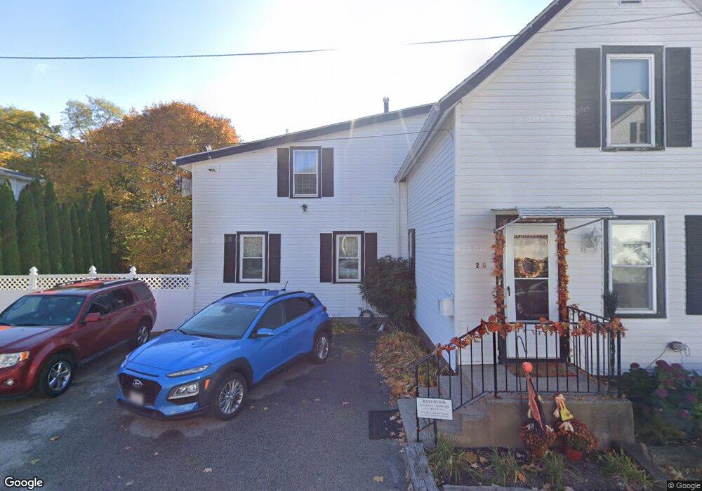
26 Perkins St Amesbury, MA 01913
Estimated Value: $564,000 - $635,000
3
Beds
2
Baths
1,554
Sq Ft
$388/Sq Ft
Est. Value
About This Home
This home is located at 26 Perkins St, Amesbury, MA 01913 and is currently estimated at $602,283, approximately $387 per square foot. 26 Perkins St is a home located in Essex County with nearby schools including Amesbury High School and Amesbury Seventh-Day Adventist School.
Ownership History
Date
Name
Owned For
Owner Type
Purchase Details
Closed on
May 19, 2003
Sold by
Graham Sharon and Graham Steven J
Bought by
Cheney Tammy
Current Estimated Value
Purchase Details
Closed on
Jan 27, 1994
Sold by
Cottage Funding Corp
Bought by
Graham Steven J and Graham Sharon
Purchase Details
Closed on
Apr 21, 1993
Sold by
Franzen Jules
Bought by
Cottage Funding Corp
Create a Home Valuation Report for This Property
The Home Valuation Report is an in-depth analysis detailing your home's value as well as a comparison with similar homes in the area
Home Values in the Area
Average Home Value in this Area
Purchase History
| Date | Buyer | Sale Price | Title Company |
|---|---|---|---|
| Cheney Tammy | $249,000 | -- | |
| Graham Steven J | $96,000 | -- | |
| Cottage Funding Corp | $73,500 | -- |
Source: Public Records
Mortgage History
| Date | Status | Borrower | Loan Amount |
|---|---|---|---|
| Open | Cottage Funding Corp | $63,500 | |
| Open | Cottage Funding Corp | $252,000 |
Source: Public Records
Tax History Compared to Growth
Tax History
| Year | Tax Paid | Tax Assessment Tax Assessment Total Assessment is a certain percentage of the fair market value that is determined by local assessors to be the total taxable value of land and additions on the property. | Land | Improvement |
|---|---|---|---|---|
| 2025 | $7,284 | $476,100 | $207,700 | $268,400 |
| 2024 | $6,878 | $439,800 | $196,000 | $243,800 |
| 2023 | $6,768 | $414,200 | $170,400 | $243,800 |
| 2022 | $6,172 | $348,900 | $148,200 | $200,700 |
| 2021 | $5,975 | $327,400 | $114,600 | $212,800 |
| 2020 | $5,321 | $309,700 | $110,200 | $199,500 |
| 2019 | $5,303 | $288,700 | $110,200 | $178,500 |
| 2018 | $5,101 | $268,600 | $104,900 | $163,700 |
| 2017 | $4,868 | $244,000 | $104,900 | $139,100 |
| 2016 | $4,823 | $237,800 | $104,900 | $132,900 |
| 2015 | $4,732 | $230,400 | $104,900 | $125,500 |
| 2014 | $4,548 | $216,900 | $104,900 | $112,000 |
Source: Public Records
Map
Nearby Homes
- 19 Perkins St
- 129 Friend St
- 15 Sparhawk St Unit 3
- 17 Lincoln Ct
- 13 Lincoln Ct
- 31 Whitter Meadows Dr Unit 31
- 81 High St Unit 27
- 37 Millyard Unit 204
- 49 W Greenwood St
- 43 Aubin St Unit 1
- 24 Aubin St Unit 2
- 4 Greenwood St
- 179 Lions Mouth Rd
- 48 Orchard St
- 6 Wells Ave Unit C
- 53 Market St
- 36 Hillside Ave
- 188 Lions Mouth Rd
- 5 Richs Ct Unit 3
- 97 Elm St