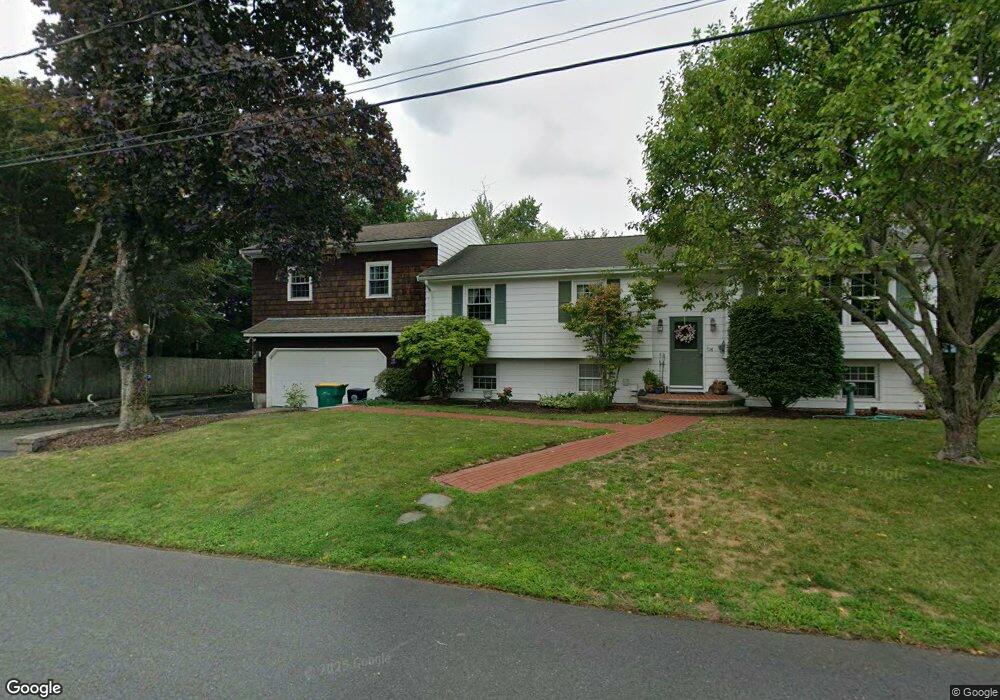
26 Phillips St North Attleboro, MA 02760
North Attleboro NeighborhoodEstimated Value: $499,000 - $610,000
3
Beds
2
Baths
1,716
Sq Ft
$321/Sq Ft
Est. Value
About This Home
This home is located at 26 Phillips St, North Attleboro, MA 02760 and is currently estimated at $550,167, approximately $320 per square foot. 26 Phillips St is a home located in Bristol County with nearby schools including North Attleboro High School.
Create a Home Valuation Report for This Property
The Home Valuation Report is an in-depth analysis detailing your home's value as well as a comparison with similar homes in the area
Home Values in the Area
Average Home Value in this Area
Tax History Compared to Growth
Tax History
| Year | Tax Paid | Tax Assessment Tax Assessment Total Assessment is a certain percentage of the fair market value that is determined by local assessors to be the total taxable value of land and additions on the property. | Land | Improvement |
|---|---|---|---|---|
| 2025 | $6,235 | $528,800 | $145,000 | $383,800 |
| 2024 | $5,956 | $516,100 | $145,000 | $371,100 |
| 2023 | $6,028 | $471,300 | $145,000 | $326,300 |
| 2022 | $5,781 | $415,000 | $145,000 | $270,000 |
| 2021 | $3,621 | $388,100 | $145,000 | $243,100 |
| 2020 | $5,383 | $375,100 | $145,000 | $230,100 |
| 2019 | $5,153 | $361,900 | $131,800 | $230,100 |
| 2018 | $3,029 | $343,300 | $131,800 | $211,500 |
| 2017 | $4,367 | $330,300 | $131,800 | $198,500 |
| 2016 | $4,241 | $320,800 | $146,400 | $174,400 |
| 2015 | $3,942 | $300,000 | $146,400 | $153,600 |
| 2014 | $3,711 | $280,300 | $128,500 | $151,800 |
Source: Public Records
Map
Nearby Homes
- 27 Taylor St
- 12 Roosevelt Ave
- 40 Roosevelt Ave
- 16 Johnson St
- 137 Sumner St
- 93 Bank St
- 46 Westside Ave
- 12 Morgan Way Unit 1
- 19 Church St Unit C9
- 16 Richards Ave Unit 106
- 160 Crescent Ave
- 80 Broadway Unit 9
- 20 South St
- 68 Fisher St
- 50 Metcalf Rd
- 30 Sperry Ln Unit Lot 15
- 300 E Washington St Unit 54R
- 880 Landry Ave Unit 2
- 42 2nd Ave Unit 24
- 130 E Washington St Unit 57