26 Poorwill Ln Laporte, CO 80535
Estimated Value: $810,000 - $1,426,000
3
Beds
2
Baths
2,262
Sq Ft
$467/Sq Ft
Est. Value
About This Home
This home is located at 26 Poorwill Ln, Laporte, CO 80535 and is currently estimated at $1,056,224, approximately $466 per square foot. 26 Poorwill Ln is a home located in Larimer County with nearby schools including Livermore Elementary School, Cache La Poudre Middle School, and Poudre High School.
Ownership History
Date
Name
Owned For
Owner Type
Purchase Details
Closed on
Mar 8, 1999
Sold by
Crockett David C
Bought by
Beaver Donald L and Beaver Margaret A
Current Estimated Value
Home Financials for this Owner
Home Financials are based on the most recent Mortgage that was taken out on this home.
Original Mortgage
$196,000
Outstanding Balance
$47,355
Interest Rate
6.73%
Estimated Equity
$1,008,869
Create a Home Valuation Report for This Property
The Home Valuation Report is an in-depth analysis detailing your home's value as well as a comparison with similar homes in the area
Purchase History
| Date | Buyer | Sale Price | Title Company |
|---|---|---|---|
| Beaver Donald L | $255,000 | Land Title |
Source: Public Records
Mortgage History
| Date | Status | Borrower | Loan Amount |
|---|---|---|---|
| Open | Beaver Donald L | $196,000 |
Source: Public Records
Tax History
| Year | Tax Paid | Tax Assessment Tax Assessment Total Assessment is a certain percentage of the fair market value that is determined by local assessors to be the total taxable value of land and additions on the property. | Land | Improvement |
|---|---|---|---|---|
| 2025 | $4,562 | $49,913 | $4,563 | $45,350 |
| 2024 | $4,343 | $57,412 | $4,891 | $52,521 |
| 2022 | $3,232 | $40,797 | $5,074 | $35,723 |
| 2021 | $3,076 | $41,971 | $5,220 | $36,751 |
| 2020 | $2,734 | $37,817 | $5,220 | $32,597 |
| 2019 | $2,746 | $37,817 | $5,220 | $32,597 |
| 2018 | $2,168 | $32,198 | $5,256 | $26,942 |
| 2017 | $2,160 | $32,198 | $5,256 | $26,942 |
| 2016 | $1,358 | $23,594 | $5,811 | $17,783 |
| 2015 | $1,348 | $23,590 | $5,810 | $17,780 |
| 2014 | $1,186 | $21,620 | $5,810 | $15,810 |
Source: Public Records
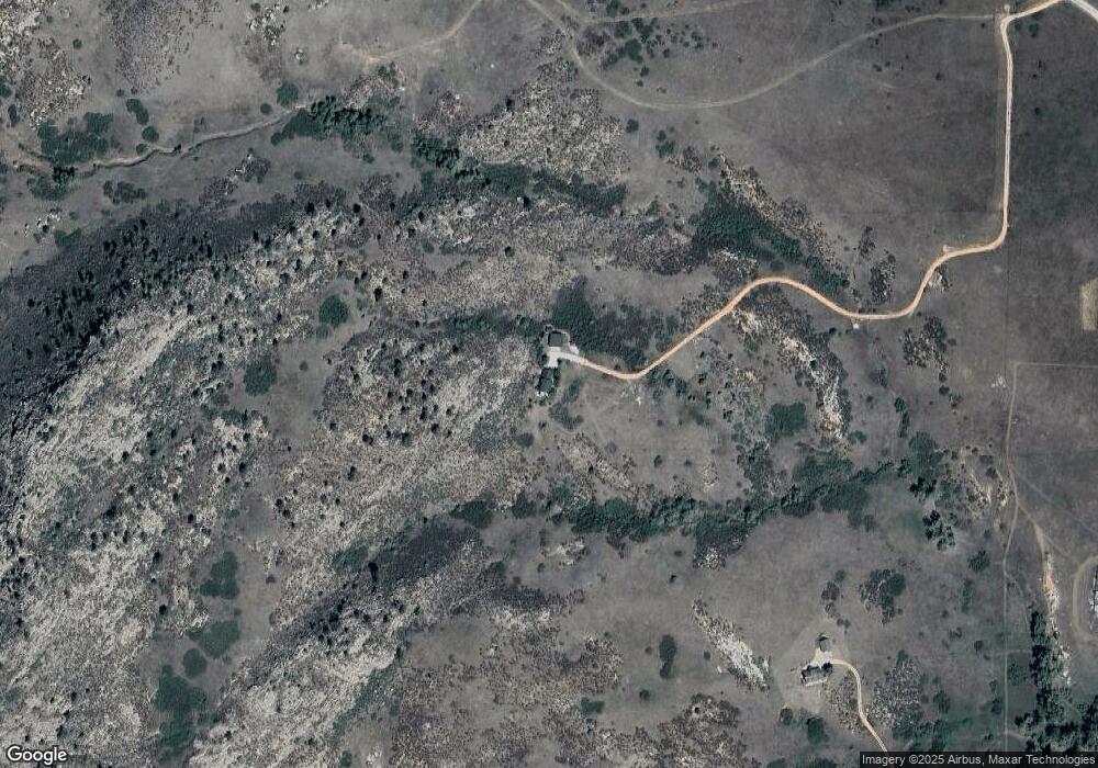
Map
Nearby Homes
- 13939 N Hwy 287
- 13939 Highway 287
- 5771 Obenchain Rd
- 7625 W County Road 80
- 7805 Arapahoe Valley Rd
- 3310 W County Road 80
- 0 Dakota Valley Dr Unit 1041548
- 939 W County Road 74
- 612 W County Road 74
- 1000 Eggleston St
- 7301 Poudre Canyon Rd
- 31 Kings Canyon Rd
- 3 N County Road 17
- 4 N County Road 17
- 1 N County Road 17
- 2 N County Road 17
- 7321 Gilmore Ave
- 6699 Savvy Place
- 0 E County Rd Unit 62E
- 7133 N County Road 19
- 327 Towhee Ridge Rd
- 303 Towhee Ridge Rd
- 2351 N Greyrock Rd
- 14519 Gratitude Rd
- 724 Soaring Eagle Dr
- 0 Soaring Eagle Dr
- 0 Ranch Springs Rd Unit RECIR998129
- 0 Ranch Springs Rd Unit 810752
- 0 Ranch Springs Rd Unit 848514
- 0 Ranch Springs Rd Unit 855905
- 890 Soaring Eagle Dr
- 0 Ranch Springs (Track 1) Rd Unit 788574
- 705 Soaring Eagle Dr
- 320 Towhee Ridge Rd
- 500 Ranch Springs Rd
- 14000 Us Highway 287
- 2051 N Greyrock Rd
- 2025 N Greyrock Rd
- 188 Pinon Ridge Rd
- 0 Ranch Springs (Track 2) Rd Unit 788661
Your Personal Tour Guide
Ask me questions while you tour the home.