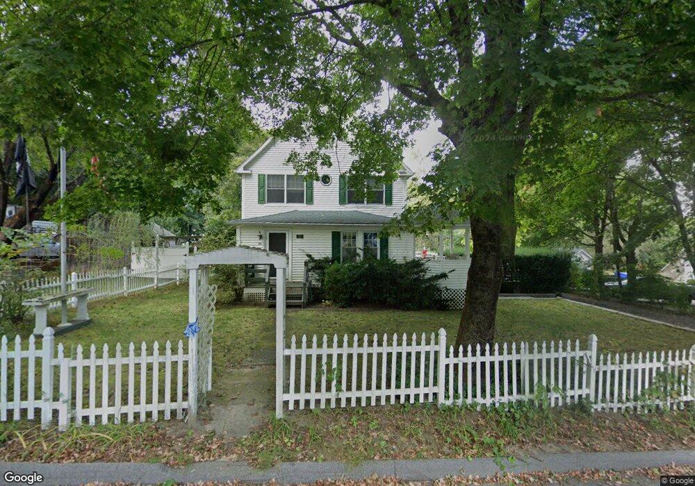
26 Power House Rd Uncasville, CT 06382
Oxoboxo River NeighborhoodEstimated Value: $326,000 - $385,000
3
Beds
3
Baths
1,795
Sq Ft
$202/Sq Ft
Est. Value
About This Home
This home is located at 26 Power House Rd, Uncasville, CT 06382 and is currently estimated at $363,001, approximately $202 per square foot. 26 Power House Rd is a home located in New London County with nearby schools including Leonard J. Tyl Middle School, Montville High School, and Bradley School-New London Regional.
Ownership History
Date
Name
Owned For
Owner Type
Purchase Details
Closed on
Aug 31, 1984
Bought by
Nason John H
Current Estimated Value
Create a Home Valuation Report for This Property
The Home Valuation Report is an in-depth analysis detailing your home's value as well as a comparison with similar homes in the area
Home Values in the Area
Average Home Value in this Area
Purchase History
| Date | Buyer | Sale Price | Title Company |
|---|---|---|---|
| Nason John H | $56,000 | -- |
Source: Public Records
Mortgage History
| Date | Status | Borrower | Loan Amount |
|---|---|---|---|
| Open | Nason John H | $170,191 | |
| Closed | Nason John H | $172,558 |
Source: Public Records
Tax History Compared to Growth
Tax History
| Year | Tax Paid | Tax Assessment Tax Assessment Total Assessment is a certain percentage of the fair market value that is determined by local assessors to be the total taxable value of land and additions on the property. | Land | Improvement |
|---|---|---|---|---|
| 2025 | $4,121 | $142,730 | $31,640 | $111,090 |
| 2024 | $3,964 | $142,730 | $31,640 | $111,090 |
| 2023 | $3,964 | $142,730 | $31,640 | $111,090 |
| 2022 | $3,812 | $142,730 | $31,640 | $111,090 |
| 2021 | $3,804 | $119,820 | $31,870 | $87,950 |
| 2020 | $3,880 | $119,820 | $31,870 | $87,950 |
| 2019 | $3,895 | $119,820 | $31,870 | $87,950 |
| 2018 | $3,802 | $119,820 | $31,860 | $87,960 |
| 2017 | $3,798 | $119,820 | $31,860 | $87,960 |
| 2016 | $3,876 | $126,620 | $39,910 | $86,710 |
| 2015 | $3,810 | $126,620 | $39,910 | $86,710 |
| 2014 | $3,719 | $126,620 | $39,910 | $86,710 |
Source: Public Records
Map
Nearby Homes
- 197 Norwich-New London Turnpike
- 245 Norwich New London Turnpike Unit 22
- 13 Dock Rd
- 9 West Dr
- 60 Hammel Ln
- 31 Looking Glass Cir
- 57 Roselund Hill Rd
- 19 Wyndwood Rd
- 10 Crestview Dr
- 2 Mountain Laurel Ridge
- 5 Mountain Laurel Ridge
- 0 Monahan Dr
- 230 Gay Hill Rd
- 31 Richard Rd
- 270 Gay Hill Rd
- 127 Massapeag Rd
- 18 Richard Rd
- 49 Inchcliffe Dr
- 331 Route 163
- 31 Old Colchester Rd
- 22 Power House Rd
- 30 Power House Rd
- 30 Power House Rd Unit 2
- 3 Brewer St
- 18 Power House Rd
- 29 Power House Rd
- 4 Brewer St
- 23 Power House Rd
- 31 Power House Rd
- 19 Power House Rd
- 37 Power House Rd
- 7 Brewer St
- 8 Brewer St
- 53 Lathrop Rd
- 25 Power House Rd
- 14 Power House Rd
- 49 Lathrop Rd
- 65 Lathrop Rd
- 15 Brewer St
- 45 Power House Rd