26 Presumpscot Ridge Dr Gorham, ME 04038
North Gorham NeighborhoodEstimated Value: $487,000 - $544,000
3
Beds
1
Bath
1,523
Sq Ft
$333/Sq Ft
Est. Value
About This Home
This home is located at 26 Presumpscot Ridge Dr, Gorham, ME 04038 and is currently estimated at $507,078, approximately $332 per square foot. 26 Presumpscot Ridge Dr is a home with nearby schools including Great Falls Elementary School and Gorham High School.
Create a Home Valuation Report for This Property
The Home Valuation Report is an in-depth analysis detailing your home's value as well as a comparison with similar homes in the area
Home Values in the Area
Average Home Value in this Area
Tax History Compared to Growth
Tax History
| Year | Tax Paid | Tax Assessment Tax Assessment Total Assessment is a certain percentage of the fair market value that is determined by local assessors to be the total taxable value of land and additions on the property. | Land | Improvement |
|---|---|---|---|---|
| 2024 | $5,658 | $384,900 | $104,900 | $280,000 |
| 2023 | $5,292 | $384,900 | $104,900 | $280,000 |
| 2022 | $4,946 | $384,900 | $104,900 | $280,000 |
| 2021 | $3,969 | $204,600 | $74,700 | $129,900 |
| 2020 | $3,887 | $204,600 | $74,700 | $129,900 |
| 2019 | $3,877 | $204,600 | $74,700 | $129,900 |
| 2018 | $3,367 | $204,600 | $74,700 | $129,900 |
| 2017 | $3,499 | $204,600 | $74,700 | $129,900 |
| 2016 | $3,480 | $204,700 | $74,800 | $129,900 |
| 2015 | $3,337 | $204,700 | $74,800 | $129,900 |
| 2014 | $3,449 | $198,200 | $79,400 | $118,800 |
| 2013 | $3,429 | $198,200 | $79,400 | $118,800 |
Source: Public Records
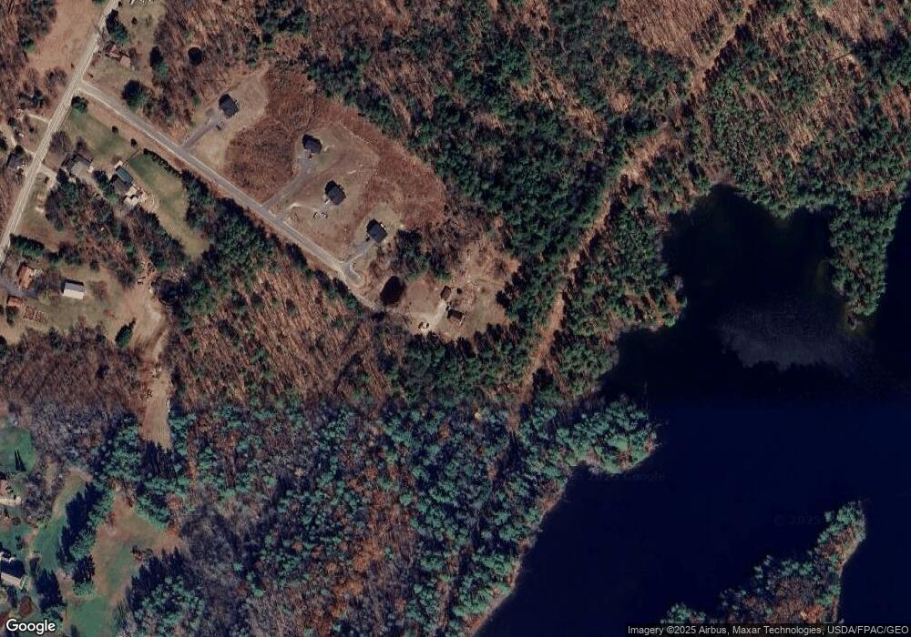
Map
Nearby Homes
- 20 Presumpscot Ridge Dr
- lot 2 Presumpscot Ridge
- 195 N Gorham Rd
- 30 Elwood Ln
- 207 N Gorham Rd
- 207 N Gorham Rd
- 187 N Gorham Rd
- 215 N Gorham Rd
- 200 Gorham
- 198 N Gorham Rd
- 204 N Gorham Rd
- 13 Brookwood Dr
- 177 N Gorham Rd
- 20 Elwood Ln
- 219 N Gorham Rd
- 1 Brookwood Dr
- Lot5 Presumpscot Ridge Dr
- Lot 3 Presumpscot Ridge Dr
- Lot 2 Presumpscot Ridge Dr
- Lot 4 Presumpscot Ridge Dr