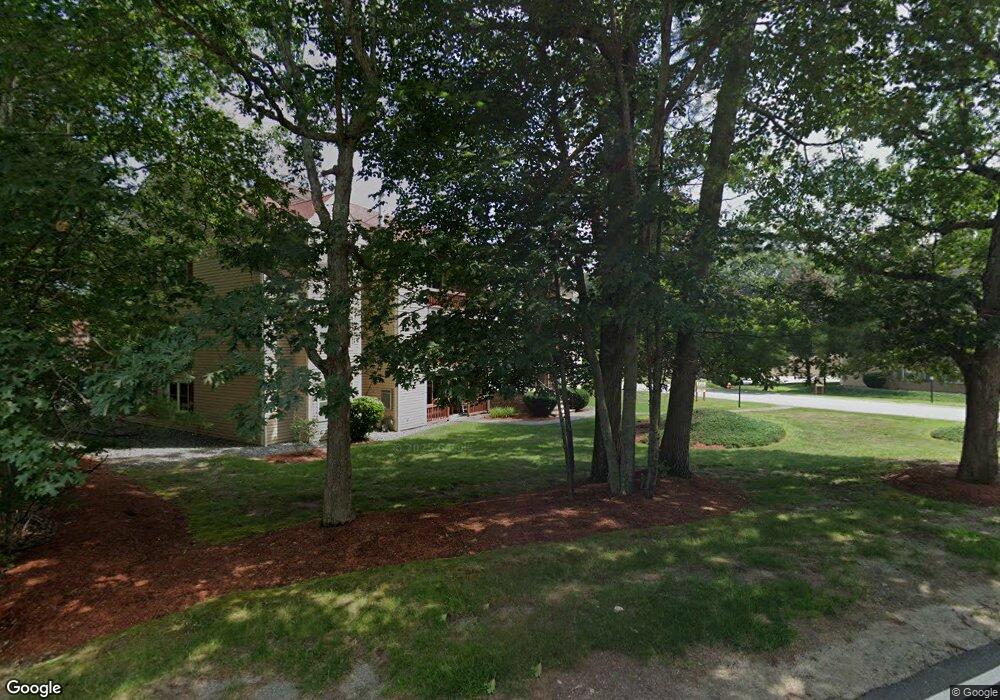
26 Randolph Dr Tewksbury, MA 01876
Estimated Value: $438,000 - $463,879
2
Beds
1
Bath
1,009
Sq Ft
$445/Sq Ft
Est. Value
About This Home
This home is located at 26 Randolph Dr, Tewksbury, MA 01876 and is currently estimated at $449,470, approximately $445 per square foot. 26 Randolph Dr is a home located in Middlesex County.
Ownership History
Date
Name
Owned For
Owner Type
Purchase Details
Closed on
Mar 5, 2025
Sold by
Dipietro Frank and Fisher Elaine A
Bought by
Dipietro Frank
Current Estimated Value
Purchase Details
Closed on
Oct 8, 2021
Sold by
Dipietro Marsha E and Dipietro Frank
Bought by
Dipietro Frank and Fisher Elaine A
Purchase Details
Closed on
Aug 19, 2016
Sold by
Leonard Kenneth F
Bought by
Dipietro Marsha E and Dipietro Frank
Create a Home Valuation Report for This Property
The Home Valuation Report is an in-depth analysis detailing your home's value as well as a comparison with similar homes in the area
Home Values in the Area
Average Home Value in this Area
Purchase History
| Date | Buyer | Sale Price | Title Company |
|---|---|---|---|
| Dipietro Frank | -- | None Available | |
| Dipietro Frank | -- | None Available | |
| Dipietro Frank | -- | None Available | |
| Dipietro Frank | -- | None Available | |
| Dipietro Marsha E | $197,400 | -- | |
| Dipietro Marsha E | $197,400 | -- |
Source: Public Records
Tax History Compared to Growth
Tax History
| Year | Tax Paid | Tax Assessment Tax Assessment Total Assessment is a certain percentage of the fair market value that is determined by local assessors to be the total taxable value of land and additions on the property. | Land | Improvement |
|---|---|---|---|---|
| 2025 | $5,852 | $442,700 | $0 | $442,700 |
| 2024 | $51 | $3,800 | $0 | $3,800 |
| 2023 | $54 | $3,800 | $0 | $3,800 |
| 2022 | $4,004 | $263,400 | $0 | $263,400 |
| 2021 | $4,056 | $258,000 | $0 | $258,000 |
| 2020 | $4,029 | $252,300 | $0 | $252,300 |
| 2019 | $3,664 | $231,300 | $0 | $231,300 |
| 2018 | $3,291 | $204,000 | $0 | $204,000 |
| 2017 | $2,964 | $181,700 | $0 | $181,700 |
| 2016 | $2,817 | $172,300 | $0 | $172,300 |
| 2015 | $2,647 | $161,700 | $0 | $161,700 |
| 2014 | $2,473 | $153,500 | $0 | $153,500 |
Source: Public Records
Map
Nearby Homes
- 97 Kendall Rd
- 399 North St
- 910 Livingston St
- 1170 Livingston St
- 1117 Emerald Ct
- 1224 Emerald Ct
- 900 Livingston St
- 13 Berkeley
- 20 Sophie Ruth Way
- 20 Meredith Rd
- 18 Newton Ave
- 11 Orchard St
- 12 Hillcrest Rd
- 1325 Main
- 43 Patrick Rd
- 61 Patrick Rd
- 101 Squire Ln
- 1418 Main St Unit 201
- 1455 Main St Unit 8
- 172 Patrick Rd
- 36 Randolph Dr
- 34 Randolph Dr
- 33 Randolph Dr
- 32 Randolph Dr
- 30 Randolph Dr
- 29 Randolph Dr
- 28 Randolph Dr
- 27 Randolph Dr
- 25 Randolph Dr
- 26 Randolph Dr Unit 26
- 32 Randolph Dr Unit 32
- 35 Randolph Dr
- 48 Randolph Dr
- 47 Randolph Dr
- 46 Randolph Dr
- 45 Randolph Dr
- 44 Randolph Dr
- 43 Randolph Dr
- 42 Randolph Dr
- 41 Randolph Dr