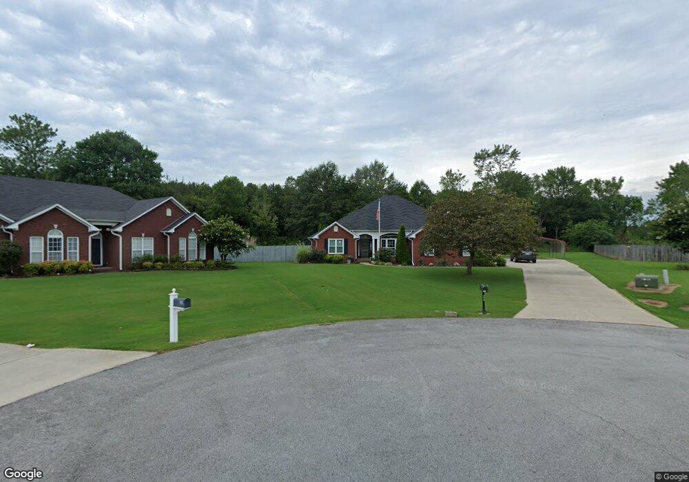
26 Ratliff Cir Decatur, AL 35603
Estimated Value: $307,000 - $357,000
--
Bed
--
Bath
2,205
Sq Ft
$152/Sq Ft
Est. Value
About This Home
This home is located at 26 Ratliff Cir, Decatur, AL 35603 and is currently estimated at $334,736, approximately $151 per square foot. 26 Ratliff Cir is a home located in Morgan County with nearby schools including Priceville Elementary School, Priceville Junior High School, and Priceville High School.
Ownership History
Date
Name
Owned For
Owner Type
Purchase Details
Closed on
May 7, 2021
Sold by
Watson Judith A
Bought by
Watson Judith A and Kimmett Michael S
Current Estimated Value
Home Financials for this Owner
Home Financials are based on the most recent Mortgage that was taken out on this home.
Original Mortgage
$136,743
Interest Rate
3.1%
Mortgage Type
New Conventional
Purchase Details
Closed on
May 15, 2006
Sold by
Mckelvy Ricky N and Mckelvy Pamela G
Bought by
Watson William N and Watson Judith A
Home Financials for this Owner
Home Financials are based on the most recent Mortgage that was taken out on this home.
Original Mortgage
$140,000
Interest Rate
6.33%
Mortgage Type
New Conventional
Create a Home Valuation Report for This Property
The Home Valuation Report is an in-depth analysis detailing your home's value as well as a comparison with similar homes in the area
Home Values in the Area
Average Home Value in this Area
Purchase History
| Date | Buyer | Sale Price | Title Company |
|---|---|---|---|
| Watson Judith A | -- | -- | |
| Watson William N | -- | None Available |
Source: Public Records
Mortgage History
| Date | Status | Borrower | Loan Amount |
|---|---|---|---|
| Previous Owner | Watson Judith A | $136,743 | |
| Previous Owner | Watson William N | $140,000 |
Source: Public Records
Tax History Compared to Growth
Tax History
| Year | Tax Paid | Tax Assessment Tax Assessment Total Assessment is a certain percentage of the fair market value that is determined by local assessors to be the total taxable value of land and additions on the property. | Land | Improvement |
|---|---|---|---|---|
| 2024 | $641 | $25,740 | $4,600 | $21,140 |
| 2023 | $641 | $26,010 | $4,600 | $21,410 |
| 2022 | $592 | $24,160 | $4,000 | $20,160 |
| 2021 | $483 | $21,240 | $4,000 | $17,240 |
| 2020 | $483 | $36,920 | $4,000 | $32,920 |
| 2019 | $483 | $20,620 | $0 | $0 |
| 2015 | $584 | $20,120 | $0 | $0 |
| 2014 | $584 | $19,800 | $0 | $0 |
| 2013 | -- | $19,540 | $0 | $0 |
Source: Public Records
Map
Nearby Homes
- 46 Little Creek Crossing
- 35 Winchester Dr
- 148 Pine St
- 300 Parthway St
- 228 Schoolhouse Dr
- 111 Willowbrook St
- 61 Cambridge Dr SE
- 1.2 Acres Route 67
- .97 Acres Route 67
- 68 Churchill Terrace
- 146 Bobwhite Dr
- 92 Broadhead Dr
- 71 Partridge Rd SE
- 129 S Price Mountain Dr
- 89 Olde Dogwood Trail
- 22 Livingstone Ln
- 1455 E Upper River Rd
- 206 Red Bud Ln
- 163 Willow Bank Cir
- 306 Red Bud Ln