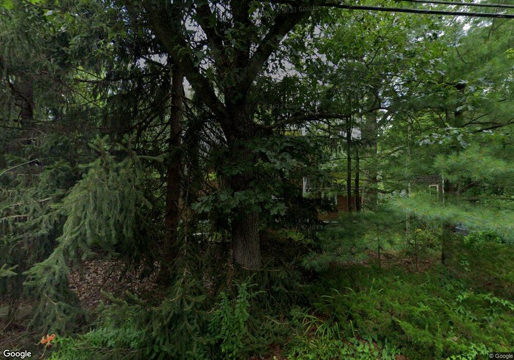
26 Ray Rd Wrentham, MA 02093
West Wrentham NeighborhoodEstimated Value: $511,000 - $647,000
3
Beds
1
Bath
1,416
Sq Ft
$402/Sq Ft
Est. Value
About This Home
This home is located at 26 Ray Rd, Wrentham, MA 02093 and is currently estimated at $569,349, approximately $402 per square foot. 26 Ray Rd is a home located in Norfolk County with nearby schools including Delaney Elementary School, Charles E Roderick, and Benjamin Franklin Classical Charter Public School.
Create a Home Valuation Report for This Property
The Home Valuation Report is an in-depth analysis detailing your home's value as well as a comparison with similar homes in the area
Home Values in the Area
Average Home Value in this Area
Tax History Compared to Growth
Tax History
| Year | Tax Paid | Tax Assessment Tax Assessment Total Assessment is a certain percentage of the fair market value that is determined by local assessors to be the total taxable value of land and additions on the property. | Land | Improvement |
|---|---|---|---|---|
| 2025 | $5,779 | $498,600 | $279,700 | $218,900 |
| 2024 | $5,568 | $464,000 | $279,700 | $184,300 |
| 2023 | $5,423 | $429,700 | $254,200 | $175,500 |
| 2022 | $5,227 | $382,400 | $237,100 | $145,300 |
| 2021 | $4,926 | $350,100 | $206,900 | $143,200 |
| 2020 | $4,685 | $328,800 | $184,000 | $144,800 |
| 2019 | $4,582 | $324,500 | $184,000 | $140,500 |
| 2018 | $4,433 | $311,300 | $184,200 | $127,100 |
| 2017 | $4,212 | $295,600 | $180,700 | $114,900 |
| 2016 | $4,064 | $284,600 | $175,400 | $109,200 |
| 2015 | $3,968 | $264,900 | $168,700 | $96,200 |
| 2014 | $3,907 | $255,200 | $162,200 | $93,000 |
Source: Public Records
Map
Nearby Homes
- 50 Heather Ln
- 60 Grant Ave
- 39 Sumner Brown Rd
- 50 Wamsutta Way
- 236 Williams St
- 2095 West St
- 180 Pine Swamp Rd
- 56 Pine Swamp Rd
- 4 Evans St
- 25 Nature View Dr
- 300 Tower Hill Rd
- 4022 Diamond Hill Rd
- 11 Amber Dr
- 20 Nature View Dr
- 17 Stanford Rd
- 955 Summer St
- 10 Stanford Rd
- 851 Washington St
- 80 Carriage House Ln
- 584 Washington St
