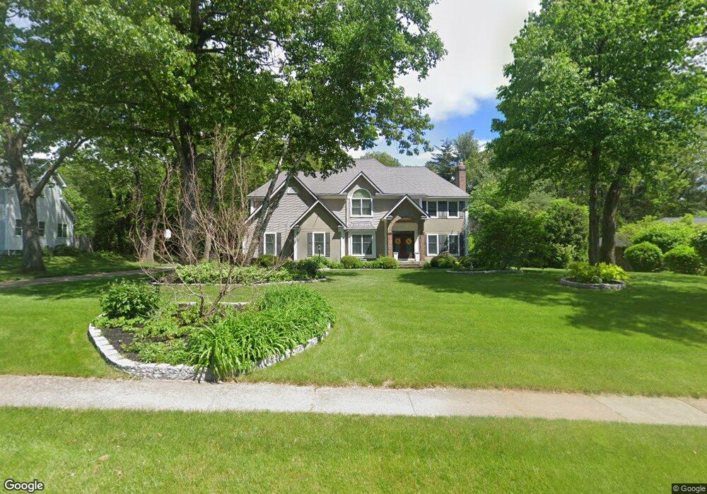
26 Raymond Cir Westfield, MA 01085
Estimated Value: $702,807 - $771,000
4
Beds
5
Baths
3,614
Sq Ft
$205/Sq Ft
Est. Value
About This Home
This home is located at 26 Raymond Cir, Westfield, MA 01085 and is currently estimated at $742,452, approximately $205 per square foot. 26 Raymond Cir is a home located in Hampden County with nearby schools including Westfield High School.
Ownership History
Date
Name
Owned For
Owner Type
Purchase Details
Closed on
Aug 3, 1998
Sold by
Chang Moh Ching and Chang Her Jiun
Bought by
Ashburn Daniel and Ashburn Karen E
Current Estimated Value
Home Financials for this Owner
Home Financials are based on the most recent Mortgage that was taken out on this home.
Original Mortgage
$227,150
Interest Rate
6.92%
Mortgage Type
Purchase Money Mortgage
Purchase Details
Closed on
Jun 30, 1995
Sold by
Raymond Cir Rt and Wilson Michael T
Bought by
Chang Moh Co and Chang Her J
Home Financials for this Owner
Home Financials are based on the most recent Mortgage that was taken out on this home.
Original Mortgage
$203,150
Interest Rate
7.8%
Mortgage Type
Purchase Money Mortgage
Create a Home Valuation Report for This Property
The Home Valuation Report is an in-depth analysis detailing your home's value as well as a comparison with similar homes in the area
Home Values in the Area
Average Home Value in this Area
Purchase History
| Date | Buyer | Sale Price | Title Company |
|---|---|---|---|
| Ashburn Daniel | $320,000 | -- | |
| Chang Moh Co | $273,000 | -- |
Source: Public Records
Mortgage History
| Date | Status | Borrower | Loan Amount |
|---|---|---|---|
| Open | Chang Moh Co | $345,000 | |
| Closed | Chang Moh Co | $227,150 | |
| Previous Owner | Chang Moh Co | $203,150 | |
| Previous Owner | Chang Moh Co | $130,000 |
Source: Public Records
Tax History Compared to Growth
Tax History
| Year | Tax Paid | Tax Assessment Tax Assessment Total Assessment is a certain percentage of the fair market value that is determined by local assessors to be the total taxable value of land and additions on the property. | Land | Improvement |
|---|---|---|---|---|
| 2025 | $10,057 | $662,500 | $150,900 | $511,600 |
| 2024 | $10,143 | $635,100 | $137,500 | $497,600 |
| 2023 | $9,951 | $605,800 | $131,000 | $474,800 |
| 2022 | $9,951 | $538,200 | $116,600 | $421,600 |
| 2021 | $9,674 | $512,400 | $110,100 | $402,300 |
| 2020 | $9,382 | $487,400 | $110,100 | $377,300 |
| 2019 | $9,188 | $467,100 | $104,700 | $362,400 |
| 2018 | $9,043 | $467,100 | $104,700 | $362,400 |
| 2017 | $8,813 | $453,800 | $106,200 | $347,600 |
| 2016 | $8,822 | $453,800 | $106,200 | $347,600 |
| 2015 | $8,137 | $438,900 | $106,200 | $332,700 |
| 2014 | $6,095 | $438,900 | $106,200 | $332,700 |
Source: Public Records
Map
Nearby Homes
- 20 Raymond Cir
- 451 Falley Dr
- 1037 Shaker Rd
- 57 Falley Dr
- 94 Pineridge Dr
- 16 Locust St
- 76 Shaker Rd
- 60 Shaker Rd
- 23 Tannery Rd Unit B
- 30 Cross St
- 0 Feeding Hills Rd
- 103 Feeding Hills Rd
- 138 Main St Unit 11
- 16 Yale St
- 70-74 S Maple St
- 74 S Maple St
- 17 Jeanne Marie Dr
- 70 S Maple St
- 82 S Maple St Unit 11
- 82 S Maple St Unit 43