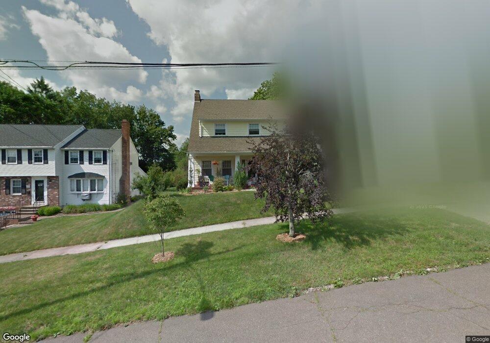
26 Raynham Rd New Haven, CT 06512
East Shore NeighborhoodEstimated Value: $471,000 - $608,000
3
Beds
3
Baths
3,502
Sq Ft
$162/Sq Ft
Est. Value
About This Home
This home is located at 26 Raynham Rd, New Haven, CT 06512 and is currently estimated at $565,860, approximately $161 per square foot. 26 Raynham Rd is a home located in New Haven County with nearby schools including Nathan Hale School, Highville Charter School, and Elm City College Preparatory School.
Ownership History
Date
Name
Owned For
Owner Type
Purchase Details
Closed on
Jun 14, 2007
Sold by
Russo James and Russo Linda
Bought by
Landback Robert and Landback Sally
Current Estimated Value
Home Financials for this Owner
Home Financials are based on the most recent Mortgage that was taken out on this home.
Original Mortgage
$250,000
Interest Rate
6.19%
Create a Home Valuation Report for This Property
The Home Valuation Report is an in-depth analysis detailing your home's value as well as a comparison with similar homes in the area
Home Values in the Area
Average Home Value in this Area
Purchase History
| Date | Buyer | Sale Price | Title Company |
|---|---|---|---|
| Landback Robert | $365,800 | -- |
Source: Public Records
Mortgage History
| Date | Status | Borrower | Loan Amount |
|---|---|---|---|
| Open | Landback Robert | $244,000 | |
| Closed | Landback Robert | $249,500 | |
| Closed | Landback Robert | $250,000 | |
| Previous Owner | Landback Robert | $167,600 |
Source: Public Records
Tax History
| Year | Tax Paid | Tax Assessment Tax Assessment Total Assessment is a certain percentage of the fair market value that is determined by local assessors to be the total taxable value of land and additions on the property. | Land | Improvement |
|---|---|---|---|---|
| 2025 | $12,223 | $310,240 | $63,420 | $246,820 |
| 2024 | $11,944 | $310,240 | $63,420 | $246,820 |
| 2023 | $11,541 | $310,240 | $63,420 | $246,820 |
| 2022 | $12,332 | $310,240 | $63,420 | $246,820 |
| 2021 | $9,414 | $214,550 | $39,620 | $174,930 |
| 2020 | $9,414 | $214,550 | $39,620 | $174,930 |
| 2019 | $9,221 | $214,550 | $39,620 | $174,930 |
| 2018 | $9,221 | $214,550 | $39,620 | $174,930 |
| 2017 | $8,299 | $214,550 | $39,620 | $174,930 |
| 2016 | $8,740 | $210,350 | $41,230 | $169,120 |
| 2015 | $8,740 | $210,350 | $41,230 | $169,120 |
| 2014 | $8,740 | $210,350 | $41,230 | $169,120 |
Source: Public Records
Map
Nearby Homes
- 197 Kneeland Rd
- 253 Kneeland Rd
- 745 Townsend Ave Unit Lot 7
- 745 Townsend Ave Unit Lot 1
- 418 Woodward Ave Unit 9
- 105 Sound View Terrace
- 104 Sound View Terrace
- 675 Townsend Ave Unit 157
- 498 Woodward Ave Unit 5
- 518 Woodward Ave Unit 21
- 366 Burr St
- 120 Stuyvesant Ave
- 88 Elizabeth Ann Dr
- 44 Huntington Ave
- 388 Concord St
- 45 Huntington Ave
- 19 Hughes St
- 9 Forest St
- 21 Carmen St
- 666 Woodward Ave Unit 666
Your Personal Tour Guide
Ask me questions while you tour the home.