26 Ridge Rd Boothbay, ME 04537
Estimated Value: $550,146 - $778,000
2
Beds
1
Bath
1,344
Sq Ft
$484/Sq Ft
Est. Value
About This Home
This home is located at 26 Ridge Rd, Boothbay, ME 04537 and is currently estimated at $650,049, approximately $483 per square foot. 26 Ridge Rd is a home located in Lincoln County with nearby schools including Boothbay Region Elementary School and Boothbay Region High School.
Ownership History
Date
Name
Owned For
Owner Type
Purchase Details
Closed on
Mar 16, 2022
Sold by
Escoll Family 1998 T and Sommermann
Bought by
Callahan William E and Callahan Donna
Current Estimated Value
Home Financials for this Owner
Home Financials are based on the most recent Mortgage that was taken out on this home.
Original Mortgage
$325,000
Outstanding Balance
$301,211
Interest Rate
3.55%
Mortgage Type
Purchase Money Mortgage
Estimated Equity
$348,838
Purchase Details
Closed on
Sep 27, 2007
Sold by
Chesebro Genoveva B
Bought by
Escoll Ft and Escoll
Create a Home Valuation Report for This Property
The Home Valuation Report is an in-depth analysis detailing your home's value as well as a comparison with similar homes in the area
Home Values in the Area
Average Home Value in this Area
Purchase History
| Date | Buyer | Sale Price | Title Company |
|---|---|---|---|
| Callahan William E | -- | None Available | |
| Escoll Ft | -- | -- | |
| Escoll Ft | -- | -- |
Source: Public Records
Mortgage History
| Date | Status | Borrower | Loan Amount |
|---|---|---|---|
| Open | Callahan William E | $325,000 |
Source: Public Records
Tax History Compared to Growth
Tax History
| Year | Tax Paid | Tax Assessment Tax Assessment Total Assessment is a certain percentage of the fair market value that is determined by local assessors to be the total taxable value of land and additions on the property. | Land | Improvement |
|---|---|---|---|---|
| 2024 | $2,636 | $232,241 | $92,520 | $139,721 |
| 2023 | $2,231 | $221,962 | $92,520 | $129,442 |
| 2022 | $2,064 | $221,962 | $92,520 | $129,442 |
| 2021 | $2,125 | $222,522 | $93,080 | $129,442 |
| 2020 | $2,136 | $222,522 | $93,080 | $129,442 |
| 2019 | $2,103 | $222,522 | $93,080 | $129,442 |
| 2018 | $2,069 | $222,522 | $93,080 | $129,442 |
| 2017 | $2,103 | $228,600 | $97,200 | $131,400 |
| 2016 | $2,012 | $228,600 | $97,200 | $131,400 |
| 2015 | $2,000 | $228,600 | $97,200 | $131,400 |
| 2014 | $1,943 | $228,600 | $97,200 | $131,400 |
Source: Public Records
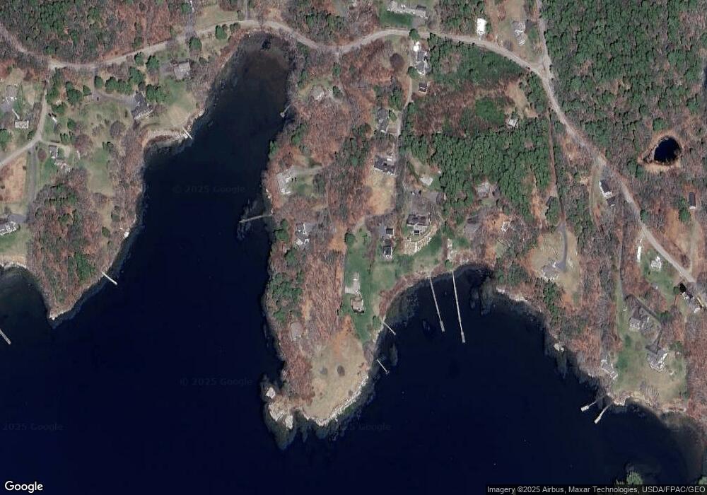
Map
Nearby Homes
- 44-4 Windrush Ln
- 124 Main Rd
- 302 Townsend Ave
- 978 Wiscasset Rd
- 12 Sea St
- 26 Sea St
- 1 Cedar Ln Unit 1
- 3 Cedar Ln Unit 3
- 17 Cedar Ln Unit 17
- 43 Oak St
- 66 Townsend Avenue & 43 Oak St
- 66 Townsend Ave
- 53 Commercial St
- 34 Townsend Ave
- 37 Townsend Ave
- 27 Townsend Ave
- 119 Knubble Bay Rd
- 32 Murray Hill Rd
- 23 Sunny Acres Ln
- 14 Pinkie Ln