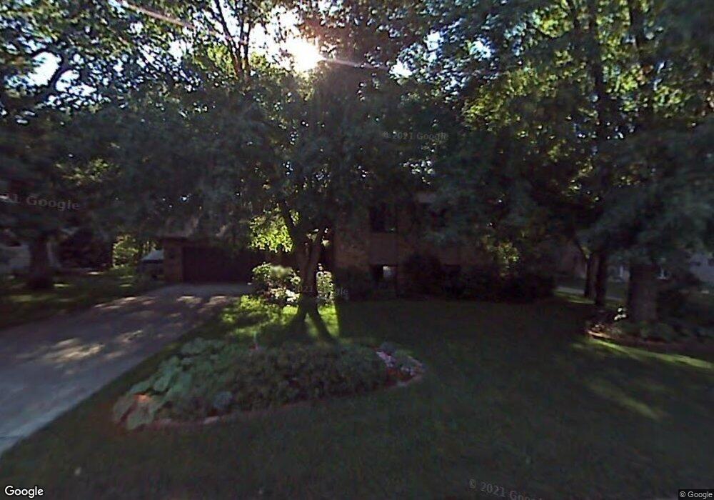
26 Ridge Rd Circle Pines, MN 55014
Estimated Value: $396,000 - $456,000
4
Beds
2
Baths
1,156
Sq Ft
$364/Sq Ft
Est. Value
About This Home
This home is located at 26 Ridge Rd, Circle Pines, MN 55014 and is currently estimated at $420,638, approximately $363 per square foot. 26 Ridge Rd is a home located in Anoka County with nearby schools including Blue Heron Elementary School, Centennial Middle School, and Centennial High School.
Ownership History
Date
Name
Owned For
Owner Type
Purchase Details
Closed on
Dec 18, 2018
Sold by
Delong Daniel
Bought by
Delong Amy
Current Estimated Value
Purchase Details
Closed on
Jul 12, 2018
Sold by
Davenport Lawrence A and Davenport Lois M
Bought by
Delong Amy
Purchase Details
Closed on
Mar 21, 2014
Sold by
Davenport Lawrence A and Davenport Lois M
Bought by
The Davenport Family Revocable Living Tr and Davenport Lois M
Create a Home Valuation Report for This Property
The Home Valuation Report is an in-depth analysis detailing your home's value as well as a comparison with similar homes in the area
Home Values in the Area
Average Home Value in this Area
Purchase History
We collect this data history from publicly available records. To have your information removed, we recommend requesting removal directly through your county’s website.
| Date | Buyer | Sale Price | Title Company |
|---|---|---|---|
| Delong Amy | -- | None Available | |
| Delong Amy | $327,500 | Partners Title Llc | |
| The Davenport Family Revocable Living Tr | $15,954 | None Available |
Source: Public Records
Tax History
| Year | Tax Paid | Tax Assessment Tax Assessment Total Assessment is a certain percentage of the fair market value that is determined by local assessors to be the total taxable value of land and additions on the property. | Land | Improvement |
|---|---|---|---|---|
| 2026 | $5,004 | $392,700 | $130,700 | $262,000 |
| 2025 | $4,690 | $389,400 | $131,300 | $258,100 |
| 2024 | $4,690 | $377,800 | $120,800 | $257,000 |
| 2023 | $4,290 | $371,700 | $105,000 | $266,700 |
| 2022 | $4,139 | $361,400 | $94,500 | $266,900 |
| 2021 | $4,076 | $304,400 | $80,500 | $223,900 |
| 2020 | $4,155 | $293,500 | $80,500 | $213,000 |
| 2019 | $4,060 | $283,900 | $73,700 | $210,200 |
| 2018 | $3,515 | $257,200 | $0 | $0 |
| 2017 | $3,222 | $250,500 | $0 | $0 |
| 2016 | $3,479 | $229,900 | $0 | $0 |
| 2015 | $3,235 | $229,900 | $72,500 | $157,400 |
| 2014 | -- | $194,500 | $54,700 | $139,800 |
Source: Public Records
Map
Nearby Homes
- 4 Ridge Rd Unit B
- 6 Oak Rd Unit B
- 100 South Dr Unit B
- 215 Keith Rd
- 44 E Golden Lake Rd
- 64 E Golden Lake Rd
- 15 Circle Dr
- 21 Inner Dr
- 13 E Golden Lake Rd
- 2 E Golden Lake Rd
- 28 W Golden Lake Rd
- 321 Heritage Trail
- 2 Park Dr W
- 225 Heritage Ln
- 224 Heritage Ln
- 220 Heritage Ln
- 142 Canterbury Rd
- 204 Heritage Ln Unit 715
- 638 Village Pkwy
- 248 Galaxy Dr
Your Personal Tour Guide
Ask me questions while you tour the home.