26 Rolling Meadows Rd Ashland, PA 17921
Estimated Value: $161,000 - $282,272
2
Beds
2
Baths
1,120
Sq Ft
$203/Sq Ft
Est. Value
About This Home
This home is located at 26 Rolling Meadows Rd, Ashland, PA 17921 and is currently estimated at $227,818, approximately $203 per square foot. 26 Rolling Meadows Rd is a home with nearby schools including North Schuylkill Elementary School and North Schuylkill Junior/Senior High School.
Ownership History
Date
Name
Owned For
Owner Type
Purchase Details
Closed on
Jul 28, 2025
Sold by
Fetterolf Waldemar T and Fetterolf Carol
Bought by
Fetterolf Gregory T and Fetterolf Tamara L
Current Estimated Value
Purchase Details
Closed on
Jun 13, 2025
Sold by
Rolling Meadows Golf Course Llc
Bought by
Fetterolf Waldemar T and Fetterolf Carol
Purchase Details
Closed on
May 23, 2017
Sold by
Rolling Meadows Golf Course Llc
Bought by
Rolling Meadows Golf Course Llc
Purchase Details
Closed on
May 28, 2003
Sold by
Rolling Meadows Golf Course Inc
Bought by
Wetzel Clair A and Wetzel Elizabeth M
Create a Home Valuation Report for This Property
The Home Valuation Report is an in-depth analysis detailing your home's value as well as a comparison with similar homes in the area
Home Values in the Area
Average Home Value in this Area
Purchase History
| Date | Buyer | Sale Price | Title Company |
|---|---|---|---|
| Fetterolf Gregory T | $250,000 | None Listed On Document | |
| Fetterolf Waldemar T | -- | None Listed On Document | |
| Fetterolf Waldemar T | -- | None Listed On Document | |
| Rolling Meadows Golf Course Llc | -- | None Available | |
| Wetzel Clair A | -- | None Available |
Source: Public Records
Tax History Compared to Growth
Tax History
| Year | Tax Paid | Tax Assessment Tax Assessment Total Assessment is a certain percentage of the fair market value that is determined by local assessors to be the total taxable value of land and additions on the property. | Land | Improvement |
|---|---|---|---|---|
| 2025 | $3,889 | $50,065 | $14,440 | $35,625 |
| 2024 | $3,644 | $50,065 | $14,440 | $35,625 |
| 2023 | $3,644 | $50,065 | $14,440 | $35,625 |
| 2022 | $3,563 | $50,065 | $14,440 | $35,625 |
| 2021 | $3,519 | $50,065 | $14,440 | $35,625 |
| 2020 | $3,453 | $50,065 | $14,440 | $35,625 |
| 2018 | $3,334 | $50,065 | $14,440 | $35,625 |
| 2017 | $2,807 | $43,250 | $7,625 | $35,625 |
| 2015 | -- | $43,250 | $7,625 | $35,625 |
| 2011 | -- | $38,000 | $0 | $0 |
Source: Public Records
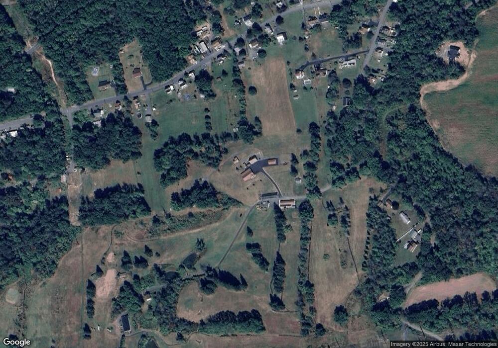
Map
Nearby Homes
- 0 W Side of Stein Rd
- 60 South St
- 0 Airport Rd Unit PASK2024112
- 331 S Maple St
- 329 S Maple St
- 401 E 7th St
- 416 Dutchtown Rd
- 226 S Lemon St Unit 228
- 141 W 5th St
- 125 W 5th St
- 216 S Chestnut St
- 334 W Butternut St
- 124 S Maple St
- 131 S Oak St
- 204 S Walnut St
- 340 E 5th St
- 145 S Lemon St
- 202 W 4th St
- 520 E 5th St
- 230 E 4th St