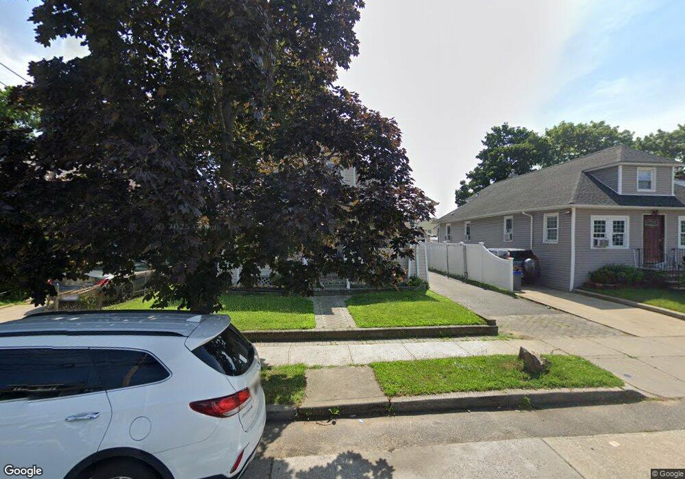
26 Rutland Rd Freeport, NY 11520
Estimated Value: $574,000
--
Bed
2
Baths
1,205
Sq Ft
$476/Sq Ft
Est. Value
About This Home
This home is located at 26 Rutland Rd, Freeport, NY 11520 and is currently estimated at $574,000, approximately $476 per square foot. 26 Rutland Rd is a home located in Nassau County with nearby schools including Columbus Avenue School, Caroline G. Atkinson Intermediate School, and John W Dodd Middle School.
Ownership History
Date
Name
Owned For
Owner Type
Purchase Details
Closed on
Mar 14, 2013
Sold by
Cruz Juan L
Bought by
543 Trading Llc
Current Estimated Value
Purchase Details
Closed on
May 2, 2006
Sold by
Rodriguez Aleida
Bought by
Cruz Juan
Purchase Details
Closed on
Apr 8, 2005
Sold by
Henriquez Maria
Bought by
Rodriguez Aleida
Purchase Details
Closed on
Aug 4, 2000
Sold by
The Foreclosure Network Of Ny., Inc.
Bought by
Green Arvilla
Purchase Details
Closed on
May 9, 2000
Sold by
Seabrook Wilbur S
Bought by
The Foreclosure Network O F Ny Inc
Create a Home Valuation Report for This Property
The Home Valuation Report is an in-depth analysis detailing your home's value as well as a comparison with similar homes in the area
Home Values in the Area
Average Home Value in this Area
Purchase History
| Date | Buyer | Sale Price | Title Company |
|---|---|---|---|
| 543 Trading Llc | $135,000 | -- | |
| Cruz Juan | $411,000 | -- | |
| Rodriguez Aleida | $355,000 | -- | |
| Green Arvilla | $184,000 | Raj Maddiwar | |
| The Foreclosure Network O F Ny Inc | $80,000 | Jeff Tannen |
Source: Public Records
Tax History Compared to Growth
Tax History
| Year | Tax Paid | Tax Assessment Tax Assessment Total Assessment is a certain percentage of the fair market value that is determined by local assessors to be the total taxable value of land and additions on the property. | Land | Improvement |
|---|---|---|---|---|
| 2025 | $7,978 | $370 | $114 | $256 |
| 2024 | $855 | $370 | $114 | $256 |
| 2023 | $8,706 | $370 | $114 | $256 |
| 2022 | $8,706 | $370 | $114 | $256 |
| 2021 | $13,632 | $354 | $109 | $245 |
| 2020 | $10,117 | $700 | $341 | $359 |
| 2019 | $10,301 | $700 | $341 | $359 |
| 2018 | $10,136 | $700 | $0 | $0 |
| 2017 | $8,424 | $700 | $341 | $359 |
| 2016 | $9,475 | $700 | $341 | $359 |
| 2015 | $1,011 | $700 | $341 | $359 |
| 2014 | $1,011 | $700 | $341 | $359 |
| 2013 | $955 | $700 | $341 | $359 |
Source: Public Records
Map
Nearby Homes
- 96 N Columbus Ave
- 26 Rosedale Ave
- 98 N Columbus Ave
- 182 Grand Ave
- 11 Mount Ave
- 6 Frederick Ave
- 251 Grand Ave
- 47 Harding Place
- 268 Grand Ave
- 45 Lakeview Ave
- 221 E Dean St
- 45 Dehnhoff Ave
- 78 Jesse St
- 67 E Dean St
- 70 S Main St Unit 307-PH
- 101 Harris Ave
- 112 E Seaman Ave
- 173 E Seaman Ave
- 70 N Grove St Unit 1R
- 55 Harris Ave
- 30 Rutland Rd
- 22 Rutland Rd
- 34 Rutland Rd
- 17 Shonnard Ave
- 19 Shonnard Ave
- 15 Shonnard Ave
- 18 Rutland Rd
- 38 Rutland Rd
- 25 Shonnard Ave
- 121 Commercial St
- 7 Shonnard Ave
- 27 Rutland Rd
- 15 Rutland Rd
- 42 Rutland Rd
- 21 Rutland Rd
- 5 Shonnard Ave
- 29 Shonnard Ave
- 117 Commercial St
- 133 Commercial St
- 143 Commercial St