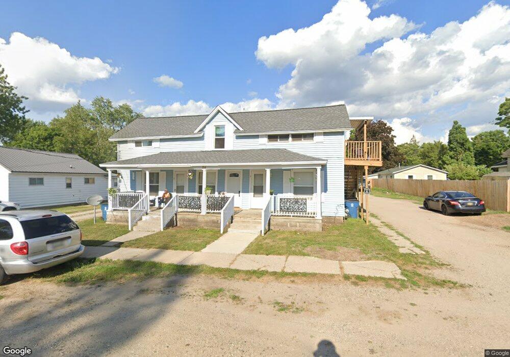
26 S 1st St Cedar Springs, MI 49319
Estimated Value: $213,000 - $329,000
5
Beds
5
Baths
2,787
Sq Ft
$100/Sq Ft
Est. Value
About This Home
This home is located at 26 S 1st St, Cedar Springs, MI 49319 and is currently estimated at $279,355, approximately $100 per square foot. 26 S 1st St is a home with nearby schools including Cedar Trails Elementary School, Red Hawk Intermediate School, and Beach Elementary School.
Ownership History
Date
Name
Owned For
Owner Type
Purchase Details
Closed on
Nov 4, 2010
Sold by
Cronkright Thomas W and Cronkright Sonya L
Bought by
Cronkright Properties Inc
Current Estimated Value
Home Financials for this Owner
Home Financials are based on the most recent Mortgage that was taken out on this home.
Original Mortgage
$135,000
Outstanding Balance
$88,707
Interest Rate
4.19%
Mortgage Type
Future Advance Clause Open End Mortgage
Estimated Equity
$190,648
Purchase Details
Closed on
Aug 20, 2004
Sold by
Cronkright Thomas W and Cronkright Sonya L
Bought by
Cronkright Properties Inc
Home Financials for this Owner
Home Financials are based on the most recent Mortgage that was taken out on this home.
Original Mortgage
$223,000
Interest Rate
6.1%
Mortgage Type
Purchase Money Mortgage
Purchase Details
Closed on
Dec 10, 1991
Sold by
Alonzo Lorraine R
Bought by
Winquist Ariadne
Create a Home Valuation Report for This Property
The Home Valuation Report is an in-depth analysis detailing your home's value as well as a comparison with similar homes in the area
Home Values in the Area
Average Home Value in this Area
Purchase History
| Date | Buyer | Sale Price | Title Company |
|---|---|---|---|
| Cronkright Properties Inc | -- | None Available | |
| Cronkright Properties Inc | -- | -- | |
| Cronkright Thomas W | $111,800 | -- | |
| Winquist Robert C | -- | -- | |
| Winquist Ariadne | $38,000 | -- |
Source: Public Records
Mortgage History
| Date | Status | Borrower | Loan Amount |
|---|---|---|---|
| Open | Cronkright Properties Inc | $135,000 | |
| Previous Owner | Cronkright Properties Inc | $223,000 |
Source: Public Records
Tax History Compared to Growth
Tax History
| Year | Tax Paid | Tax Assessment Tax Assessment Total Assessment is a certain percentage of the fair market value that is determined by local assessors to be the total taxable value of land and additions on the property. | Land | Improvement |
|---|---|---|---|---|
| 2025 | $4,365 | $124,000 | $0 | $0 |
| 2024 | $4,365 | $87,000 | $0 | $0 |
| 2023 | $4,157 | $98,100 | $0 | $0 |
| 2022 | $4,305 | $98,300 | $0 | $0 |
| 2021 | $4,244 | $107,800 | $0 | $0 |
| 2020 | $3,911 | $88,900 | $0 | $0 |
| 2019 | $3,809 | $92,300 | $0 | $0 |
| 2018 | $3,730 | $77,200 | $0 | $0 |
| 2017 | $3,635 | $59,000 | $0 | $0 |
| 2016 | $3,552 | $64,700 | $0 | $0 |
| 2015 | -- | $64,700 | $0 | $0 |
| 2013 | -- | $56,800 | $0 | $0 |
Source: Public Records
Map
Nearby Homes
- 69 S Main
- 115 E Cherry St NE
- 71 N 2nd St NE
- 197 E Elm St
- 249 Maple
- 322 E Ash St NE
- 281 Ronald St NE
- 139 N 5th St NE
- 224 Ann St NE
- 369 E Muskegon St
- 260 Pear St NE
- 520 Needlewood Dr
- 373 Cedar St NE
- 295 8th St NE
- 4398 17 Mile Rd NE
- 11288 18 Mile Rd NE
- 11260 18 Mile Rd NE
- 340 West St
- 5312 18 Mile Rd NE
- 376 Needlewood Dr NE