Estimated Value: $542,000 - $739,000
2
Beds
2
Baths
1,428
Sq Ft
$457/Sq Ft
Est. Value
About This Home
This home is located at 26 S Airstrip Rd, Twisp, WA 98856 and is currently estimated at $653,146, approximately $457 per square foot. 26 S Airstrip Rd is a home with nearby schools including Methow Valley Elementary School, Liberty Bell Junior/Senior High School, and Methow Valley Independent Learning Center.
Ownership History
Date
Name
Owned For
Owner Type
Purchase Details
Closed on
Apr 19, 2006
Sold by
Twisp River Sky Ranch Inc
Bought by
Clark Gary E and Clark Anna M
Current Estimated Value
Home Financials for this Owner
Home Financials are based on the most recent Mortgage that was taken out on this home.
Original Mortgage
$244,000
Outstanding Balance
$140,137
Interest Rate
6.35%
Mortgage Type
New Conventional
Estimated Equity
$513,009
Purchase Details
Closed on
Apr 13, 2006
Sold by
Skillman Todd A and Skillman Deborah L
Bought by
Frantz Brian and Frantz Vicky K
Home Financials for this Owner
Home Financials are based on the most recent Mortgage that was taken out on this home.
Original Mortgage
$244,000
Outstanding Balance
$140,137
Interest Rate
6.35%
Mortgage Type
New Conventional
Estimated Equity
$513,009
Purchase Details
Closed on
Oct 25, 2004
Sold by
Clark Gary E and Clark Anna M
Bought by
Skillman Todd A and Skillman Deborah L
Create a Home Valuation Report for This Property
The Home Valuation Report is an in-depth analysis detailing your home's value as well as a comparison with similar homes in the area
Home Values in the Area
Average Home Value in this Area
Purchase History
| Date | Buyer | Sale Price | Title Company |
|---|---|---|---|
| Clark Gary E | -- | Transnation Title | |
| Frantz Brian | $305,000 | Transnation Title | |
| Skillman Todd A | -- | Transnation Title |
Source: Public Records
Mortgage History
| Date | Status | Borrower | Loan Amount |
|---|---|---|---|
| Open | Frantz Brian | $244,000 |
Source: Public Records
Tax History Compared to Growth
Tax History
| Year | Tax Paid | Tax Assessment Tax Assessment Total Assessment is a certain percentage of the fair market value that is determined by local assessors to be the total taxable value of land and additions on the property. | Land | Improvement |
|---|---|---|---|---|
| 2025 | $4,221 | $586,400 | $53,400 | $533,000 |
| 2024 | $4,221 | $531,300 | $53,400 | $477,900 |
| 2022 | $3,749 | $346,700 | $23,400 | $323,300 |
| 2021 | $3,982 | $346,700 | $23,400 | $323,300 |
| 2020 | $3,151 | $346,700 | $23,400 | $323,300 |
| 2019 | $3,005 | $278,000 | $29,300 | $248,700 |
| 2018 | $3,149 | $278,000 | $29,300 | $248,700 |
| 2017 | $2,861 | $278,000 | $29,300 | $248,700 |
| 2016 | $2,826 | $278,100 | $47,300 | $230,800 |
| 2015 | $2,616 | $278,100 | $47,300 | $230,800 |
| 2013 | -- | $278,100 | $47,300 | $230,800 |
Source: Public Records
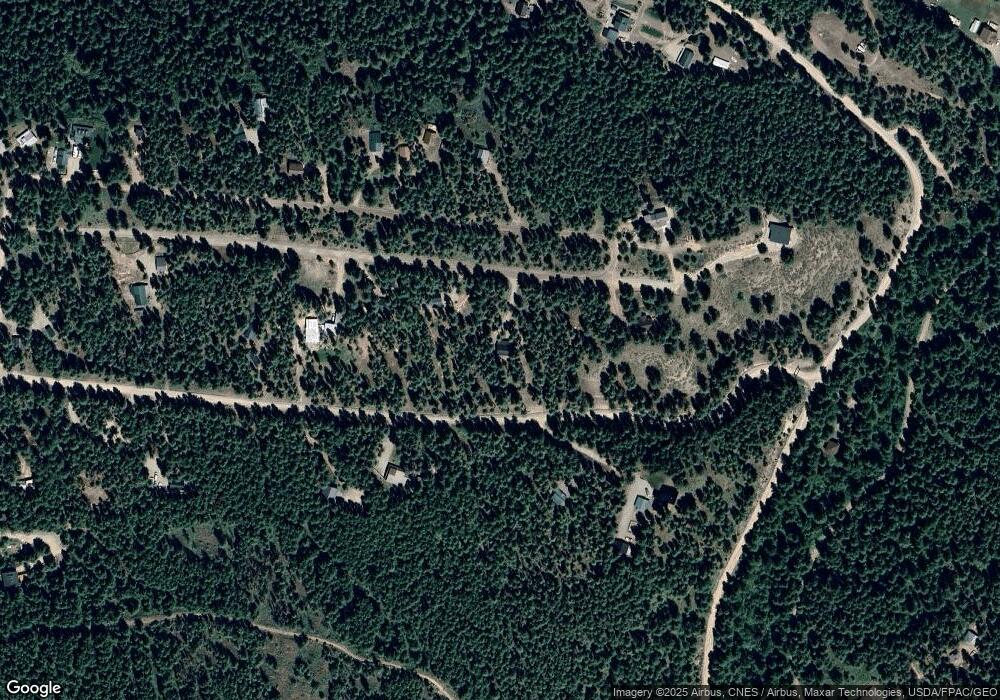
Map
Nearby Homes
- 7 Howerton Rd
- 15 Howerton Rd
- 639 Twisp River Rd
- 1027 Twisp River Rd
- 19 Twispavia Ln
- 6 Patterson Lake Rd
- 799 Twisp River Rd
- 13 Serviceberry Rd
- 0 Isabella Ln Unit NWM2400755
- 0 Isabella Ln Unit NWM2400767
- 115 Johnson St N Unit 1,2,3
- 140 Twisp Ave W Unit 204
- 136 Johnson St
- 303 E 2nd Ave
- 5 Chase Rd
- 96 Alder Creek Rd
- 318 Lombard St
- 803 D Twisp Carlton Rd
- 21 Twin Lakes Dr
- 98 Larkspur Dr
- 28 S Air Strip Rd
- 22 S Airstrip Rd
- 27 Sky Ranch Rd
- 20 S Air Strip Rd
- 10 S Airstrip Rd
- 21 Sky Ranch Rd
- 21 S Air Strip Rd
- 30 S Air Strip Rd
- 20 Sky Ranch Rd
- 23 N Air Strip Rd
- 25 Sky Ranch Rd
- 15A Sky Ranch Rd
- 21 N Air Strip Rd
- 14 S Air Strip Rd
- 19 S Airstrip Rd
- 19 N Air Strip Rd
- 10 S Air Strip Rd
- 31 N Airstrip Rd
- 15 S Airstrip Rd
- 32 N Air Strip Rd