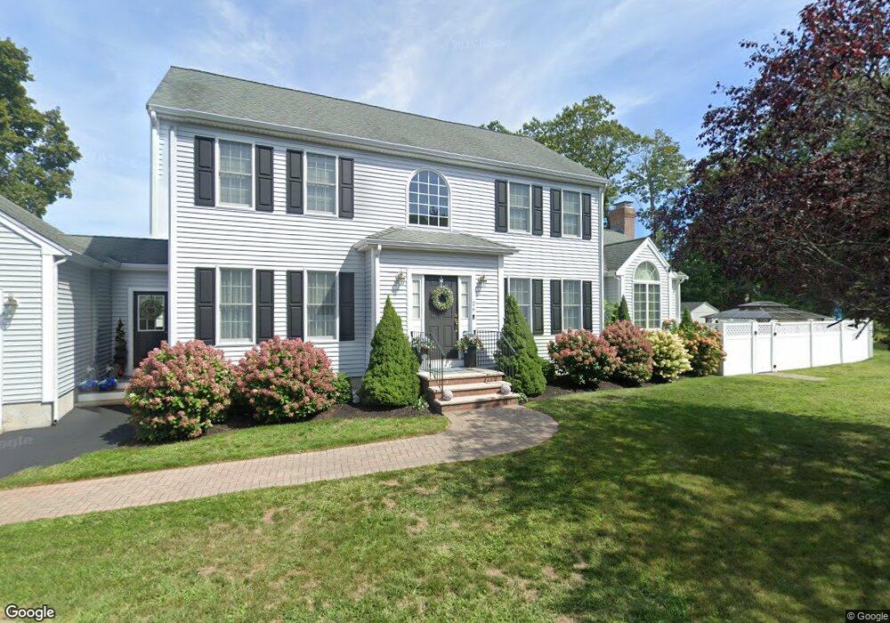
26 Samantha Way Weymouth, MA 02188
Weymouth Landing NeighborhoodEstimated Value: $928,101 - $1,251,000
4
Beds
3
Baths
2,336
Sq Ft
$438/Sq Ft
Est. Value
About This Home
This home is located at 26 Samantha Way, Weymouth, MA 02188 and is currently estimated at $1,024,025, approximately $438 per square foot. 26 Samantha Way is a home located in Norfolk County with nearby schools including Frederick C Murphy, Abigail Adams Middle School, and Weymouth Middle School Chapman.
Ownership History
Date
Name
Owned For
Owner Type
Purchase Details
Closed on
Dec 18, 2024
Sold by
Diodati Mark and Diodati Bridget
Bought by
26 Samantha Way Rt and Diodati
Current Estimated Value
Purchase Details
Closed on
Sep 12, 2007
Sold by
Ryder Dev Corp
Bought by
Diodati Bridget and Diodati Mark
Home Financials for this Owner
Home Financials are based on the most recent Mortgage that was taken out on this home.
Original Mortgage
$380,000
Interest Rate
6.7%
Mortgage Type
Purchase Money Mortgage
Create a Home Valuation Report for This Property
The Home Valuation Report is an in-depth analysis detailing your home's value as well as a comparison with similar homes in the area
Home Values in the Area
Average Home Value in this Area
Purchase History
| Date | Buyer | Sale Price | Title Company |
|---|---|---|---|
| 26 Samantha Way Rt | -- | None Available | |
| Diodati Bridget | $530,000 | -- | |
| Diodati Bridget | $530,000 | -- | |
| Diodati Bridget | $530,000 | -- |
Source: Public Records
Mortgage History
| Date | Status | Borrower | Loan Amount |
|---|---|---|---|
| Previous Owner | Diodati Bridget | $380,000 |
Source: Public Records
Tax History Compared to Growth
Tax History
| Year | Tax Paid | Tax Assessment Tax Assessment Total Assessment is a certain percentage of the fair market value that is determined by local assessors to be the total taxable value of land and additions on the property. | Land | Improvement |
|---|---|---|---|---|
| 2025 | $9,783 | $968,600 | $236,800 | $731,800 |
| 2024 | $9,220 | $897,800 | $225,600 | $672,200 |
| 2023 | $8,830 | $845,000 | $208,900 | $636,100 |
| 2022 | $8,584 | $749,000 | $193,400 | $555,600 |
| 2021 | $7,954 | $677,500 | $193,400 | $484,100 |
| 2020 | $7,651 | $641,900 | $193,400 | $448,500 |
| 2019 | $7,220 | $595,700 | $186,000 | $409,700 |
| 2018 | $7,016 | $561,300 | $177,100 | $384,200 |
| 2017 | $7,119 | $555,700 | $168,700 | $387,000 |
| 2016 | $7,104 | $555,000 | $162,200 | $392,800 |
| 2015 | $6,662 | $516,400 | $154,900 | $361,500 |
| 2014 | $6,424 | $483,000 | $144,100 | $338,900 |
Source: Public Records
Map
Nearby Homes
- 11 Richmond St
- 294 Commercial St
- 122 Washington St Unit 22
- 114 Broad St Unit D
- 114 Broad St Unit C
- 19 Vine St Unit 3
- 19 Vine St Unit 1
- 23-25 Lindbergh Ave
- 16 Lindbergh Ave
- 36 Brookside Rd
- 15 1st St
- 286 Broad St
- 38 Idlewell St
- 141 Commercial St Unit 9
- 15 Summer St
- 37 Lantern Ln
- 76 Kingman St
- 12 Klasson Ln
- 367 Essex St
- 33 Congress St