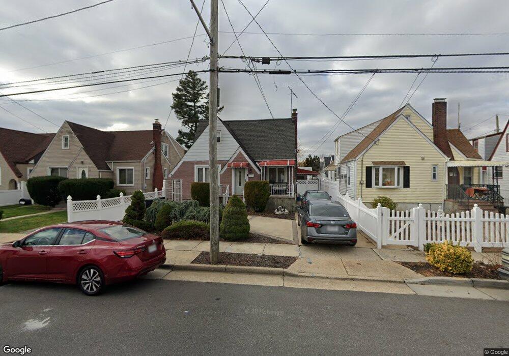
26 Searing St Hempstead, NY 11550
Estimated Value: $490,379 - $699,000
Studio
1
Bath
1,332
Sq Ft
$446/Sq Ft
Est. Value
About This Home
This home is located at 26 Searing St, Hempstead, NY 11550 and is currently estimated at $594,690, approximately $446 per square foot. 26 Searing St is a home located in Nassau County with nearby schools including Northern Parkway Elementary School, Lawrence Road Middle School, and Uniondale High School.
Ownership History
Date
Name
Owned For
Owner Type
Purchase Details
Closed on
Dec 24, 2015
Sold by
Green Telva D and Reaves Cormella L
Bought by
Green Telva D
Current Estimated Value
Purchase Details
Closed on
May 6, 2014
Sold by
Green Telva D
Bought by
Green Telva D and Reaves Cormella L
Purchase Details
Closed on
Nov 1, 2013
Sold by
Green Telba D and Reaves Carmella L
Bought by
Green Telva D
Purchase Details
Closed on
Jul 12, 2002
Sold by
Reaves Cormella
Purchase Details
Closed on
Jan 10, 2002
Purchase Details
Closed on
Aug 26, 1996
Sold by
Green Maurice and Dumaurier Marcia
Bought by
Green Telva
Home Financials for this Owner
Home Financials are based on the most recent Mortgage that was taken out on this home.
Original Mortgage
$124,700
Interest Rate
8.18%
Create a Home Valuation Report for This Property
The Home Valuation Report is an in-depth analysis detailing your home's value as well as a comparison with similar homes in the area
Home Values in the Area
Average Home Value in this Area
Purchase History
| Date | Buyer | Sale Price | Title Company |
|---|---|---|---|
| Green Telva D | -- | None Available | |
| Green Telva D | -- | -- | |
| Green Telva D | -- | -- | |
| -- | -- | -- | |
| -- | -- | -- | |
| Green Telva | $125,000 | -- |
Source: Public Records
Mortgage History
| Date | Status | Borrower | Loan Amount |
|---|---|---|---|
| Previous Owner | Green Telva | $124,700 |
Source: Public Records
Tax History
| Year | Tax Paid | Tax Assessment Tax Assessment Total Assessment is a certain percentage of the fair market value that is determined by local assessors to be the total taxable value of land and additions on the property. | Land | Improvement |
|---|---|---|---|---|
| 2025 | $5,374 | $351 | $120 | $231 |
| 2024 | $947 | $351 | $120 | $231 |
Source: Public Records
Map
Nearby Homes
- 63 Elmwood Ave
- 355 Jerusalem Ave
- 203 Rutland Rd
- 183 Perry St
- 178 Rutland Rd
- 602 Leonard Ave
- 15 Clyde Ave
- 244 Brown Ave
- 664 Clinton Ave
- 160 Argyle Ave
- 172 Argyle Ave
- 399 Hawthorne Ave
- 48 Cliff Ave
- 41 Perry St
- 363 Clarendon Rd
- 3 Tompkins Place
- 678 Front St Unit E
- 39 Acacia Ave
- 101 Baldwin Rd
- 43 Macdonald St
Your Personal Tour Guide
Ask me questions while you tour the home.