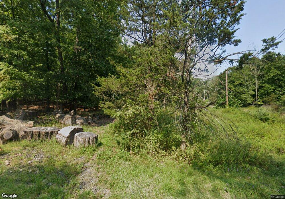
26 Shagbark Ln Whitehouse Station, NJ 08889
Readington NeighborhoodEstimated Value: $635,000 - $794,000
--
Bed
--
Bath
2,156
Sq Ft
$323/Sq Ft
Est. Value
About This Home
This home is located at 26 Shagbark Ln, Whitehouse Station, NJ 08889 and is currently estimated at $695,891, approximately $322 per square foot. 26 Shagbark Ln is a home with nearby schools including Hunterdon Central Regional High School District.
Ownership History
Date
Name
Owned For
Owner Type
Purchase Details
Closed on
Feb 18, 2010
Sold by
Emmet Christopher T
Bought by
Emmet Peter W
Current Estimated Value
Purchase Details
Closed on
Apr 7, 2008
Sold by
Emmet Christopher T and Emmet Anne G
Bought by
Emmet Christopher T
Purchase Details
Closed on
Apr 18, 2006
Sold by
Emmet Christopher T and Emmet Anne G
Bought by
Emmet Christopher T and Emmet Anne G
Purchase Details
Closed on
Jul 27, 2004
Sold by
Emmet Christopher T and Emmet Anne G
Bought by
Emmet Christopher T and Emmet Anne G
Create a Home Valuation Report for This Property
The Home Valuation Report is an in-depth analysis detailing your home's value as well as a comparison with similar homes in the area
Home Values in the Area
Average Home Value in this Area
Purchase History
| Date | Buyer | Sale Price | Title Company |
|---|---|---|---|
| Emmet Peter W | $210,000 | None Available | |
| Emmet Christopher T | -- | None Available | |
| Emmet Christopher T | -- | None Available | |
| Emmet Christopher T | -- | -- |
Source: Public Records
Tax History Compared to Growth
Tax History
| Year | Tax Paid | Tax Assessment Tax Assessment Total Assessment is a certain percentage of the fair market value that is determined by local assessors to be the total taxable value of land and additions on the property. | Land | Improvement |
|---|---|---|---|---|
| 2025 | $12,156 | $463,800 | $220,900 | $242,900 |
| 2024 | $12,054 | $463,800 | $220,900 | $242,900 |
| 2023 | $12,054 | $463,800 | $220,900 | $242,900 |
| 2022 | $11,743 | $463,800 | $220,900 | $242,900 |
| 2021 | $11,349 | $463,800 | $220,900 | $242,900 |
| 2020 | $11,449 | $376,500 | $175,500 | $201,000 |
| 2019 | $11,231 | $376,500 | $175,500 | $201,000 |
| 2018 | $11,054 | $376,500 | $175,500 | $201,000 |
| 2017 | $10,798 | $376,500 | $175,500 | $201,000 |
| 2016 | $10,542 | $376,500 | $175,500 | $201,000 |
| 2015 | $10,373 | $376,500 | $175,500 | $201,000 |
| 2014 | $10,245 | $376,500 | $175,500 | $201,000 |
Source: Public Records
Map
Nearby Homes
- 25 Old Turnpike Rd
- 12 Laomatong Rd
- 41 Sanderson Ct
- 56 Old Highway 28
- 10 Clark Ln
- 33 Old Highway 28
- 122 Janelle Ct
- 9 van Cleef Dr
- 101 Main St
- 26 Hunters Cir
- 35 Hunters Cir
- 474 Rt 22
- 5 Clover Ct
- 6 Wintermute Farm Ln
- 474 U S 22
- 474 Us Highway 22 and 3
- 8 Nelson St
- 128 Main St
- 248 Carol Jean Way
- 147 Main St
