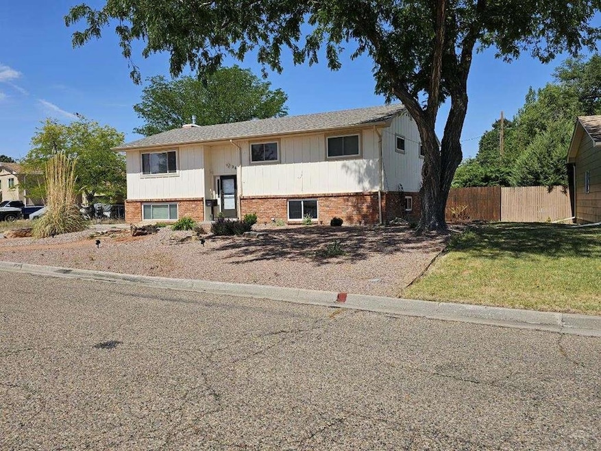
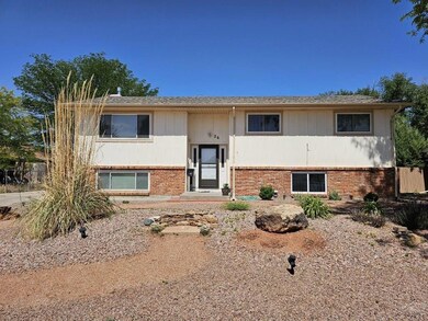
26 Sierra Dr La Junta, CO 81050
Estimated payment $1,482/month
Highlights
- Wood Burning Stove
- Lawn
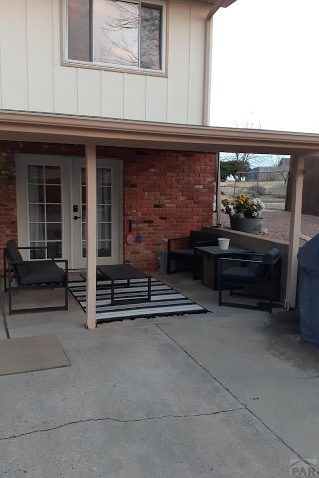
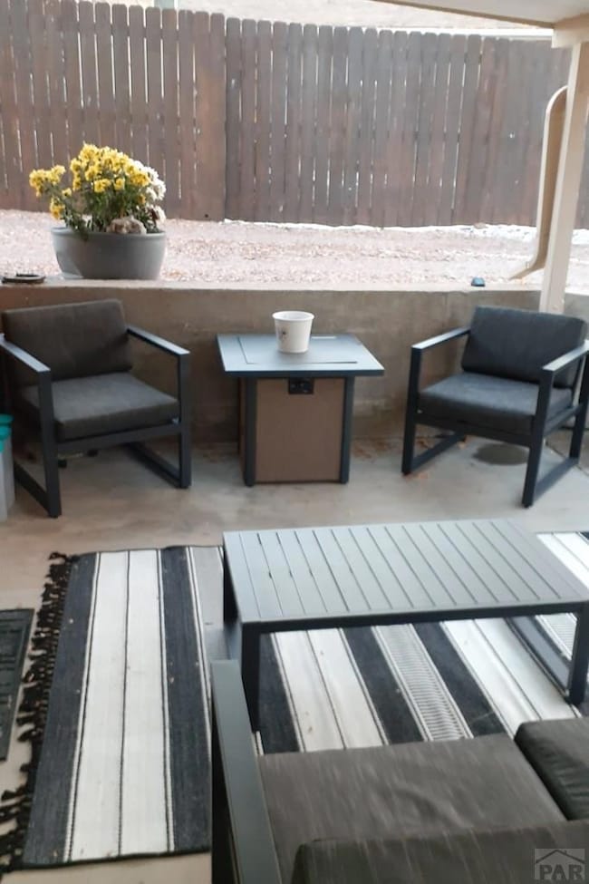
- Covered Patio or Porch
- Wood Flooring
- No HOA
- 2 Car Attached Garage
About This Home
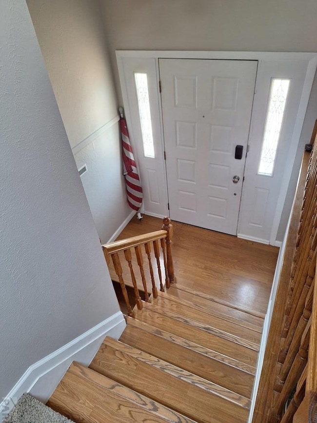
Investor's Choice: Beautiful, well-kept, bi-level, 4B/2BTH home, near Otero College, with family room w/fireplaceand walk-out patio on lower level. 2-Car garage. Current tenant under lease until 2026. Under lease until 2026.
Listing Agent
RE/MAX Of Pueblo Inc Brokerage Email: 7195461717, agood@remaxpueblo.com License #FA40026252 Listed on: 08/03/2024

Home Details
Home Type
- Single Family
Est. Annual Taxes
- $680
Year Built
- Built in 1972
Lot Details
- 7,945 Sq Ft Lot
- Wood Fence
- Lawn
Parking
- 2 Car Attached Garage
- Garage Door Opener
Home Design
- Bi-Level Home
- Brick or Stone Mason
- Frame Construction
- Composition Roof
- Wood Siding
- Copper Plumbing
- Lead Paint Disclosure
Interior Spaces
- Ceiling Fan
- Wood Burning Stove
- Double Pane Windows
- Window Treatments
- Aluminum Window Frames
- Family Room with Fireplace
- Living Room
- Dining Room
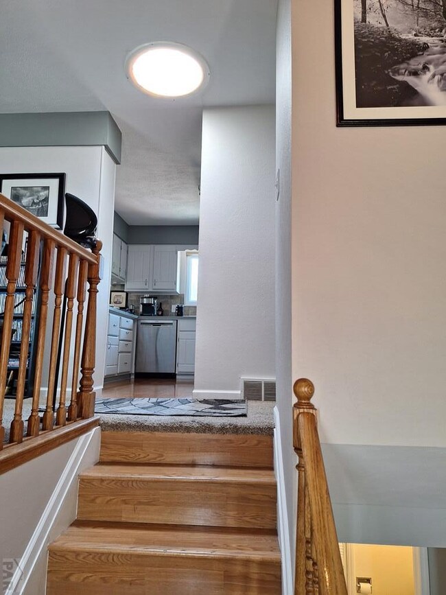
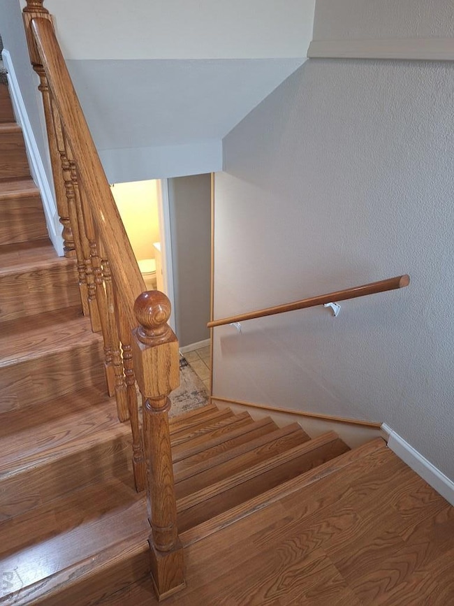
- Wood Flooring
- Laundry on lower level
Kitchen
- Electric Oven or Range
- Built-In Microwave
- Dishwasher
- Disposal
Bedrooms and Bathrooms
- 4 Bedrooms
- 2 Bathrooms
Home Security
- Storm Windows
- Fire and Smoke Detector
Outdoor Features
- Covered Patio or Porch
Utilities
- Refrigerated Cooling System
- Forced Air Heating System
- Heating System Uses Natural Gas
Community Details
- No Home Owners Association
- La Junta Subdivision
Listing and Financial Details
- Exclusions: Tenant personal furnishings and property
Map
Home Values in the Area
Average Home Value in this Area
Tax History
| Year | Tax Paid | Tax Assessment Tax Assessment Total Assessment is a certain percentage of the fair market value that is determined by local assessors to be the total taxable value of land and additions on the property. | Land | Improvement |
|---|---|---|---|---|
| 2024 | $378 | $5,739 | $266 | $5,473 |
| 2023 | $378 | $5,739 | $266 | $5,473 |
| 2022 | $363 | $5,383 | $276 | $5,107 |
| 2021 | $360 | $5,538 | $284 | $5,254 |
| 2020 | $314 | $4,895 | $284 | $4,611 |
| 2019 | $318 | $4,895 | $284 | $4,611 |
| 2018 | $263 | $4,057 | $286 | $3,771 |
| 2017 | $261 | $4,057 | $286 | $3,771 |
| 2016 | $315 | $4,551 | $316 | $4,235 |
| 2015 | $687 | $4,551 | $316 | $4,235 |
| 2014 | $687 | $4,463 | $316 | $4,147 |
Property History
| Date | Event | Price | List to Sale | Price per Sq Ft |
|---|---|---|---|---|
| 11/06/2025 11/06/25 | For Sale | $274,500 | 0.0% | $143 / Sq Ft |
| 03/06/2025 03/06/25 | For Sale | $274,500 | 0.0% | $143 / Sq Ft |
| 08/03/2024 08/03/24 | Off Market | $274,500 | -- | -- |
| 08/03/2024 08/03/24 | For Sale | $274,500 | -- | $143 / Sq Ft |
Purchase History
| Date | Type | Sale Price | Title Company |
|---|---|---|---|
| Deed | -- | -- | |
| Deed | -- | -- | |
| Warranty Deed | $143,000 | None Available | |
| Warranty Deed | $124,000 | None Available |
Mortgage History
| Date | Status | Loan Amount | Loan Type |
|---|---|---|---|
| Previous Owner | $138,000 | VA | |
| Previous Owner | $99,200 | New Conventional |
Source: Pueblo Association of REALTORS®
MLS Number: 225767
APN: 4643-142-11018
Disclaimer: Certain information contained herein is derived from information provided by parties other than Homes.com. All information provided is deemed reliable, but is not guaranteed to be accurate and should be independently verified.
![]() IDX information is provided exclusively for personal, non-commercial use, and may not be used for any purpose other than to identify prospective properties consumers may be interested in purchasing. Information is deemed reliable but not guaranteed.
IDX information is provided exclusively for personal, non-commercial use, and may not be used for any purpose other than to identify prospective properties consumers may be interested in purchasing. Information is deemed reliable but not guaranteed.
- 15 Circle Dr
- 56 Sierra Dr
- 2205 Raton Ave
- 2402 Santa fe Ave
- 2117 Raton Ave
- 102 W 26th St
- 77 Circle Dr
- 2401 San Juan Ave
- 18 Chaparral Cir
- 2118 Belleview Ave
- 1801 Raton Ave
- 1817 Cimarron Ave
- 1322 Lincoln Ave
- 0 Yucca Rd
- 1122 Rice Ave
- 1017 Smithland Ave
- 1308 Adams Ave
- 1015 Colorado Ave
- 1006 Park Ave
- 1208 Bradish Ave Unit 2