26 Skyline Dr Bernardsville, NJ 07924
Estimated Value: $1,432,000 - $2,599,000
--
Bed
--
Bath
4,899
Sq Ft
$426/Sq Ft
Est. Value
About This Home
This home is located at 26 Skyline Dr, Bernardsville, NJ 07924 and is currently estimated at $2,086,524, approximately $425 per square foot. 26 Skyline Dr is a home located in Somerset County with nearby schools including Bernardsville Middle School and Bernards High School.
Ownership History
Date
Name
Owned For
Owner Type
Purchase Details
Closed on
Jul 25, 2001
Sold by
Moriarty Virginia
Bought by
Mayle Jane
Current Estimated Value
Home Financials for this Owner
Home Financials are based on the most recent Mortgage that was taken out on this home.
Original Mortgage
$1,000,000
Outstanding Balance
$384,253
Interest Rate
7.1%
Estimated Equity
$1,702,271
Create a Home Valuation Report for This Property
The Home Valuation Report is an in-depth analysis detailing your home's value as well as a comparison with similar homes in the area
Home Values in the Area
Average Home Value in this Area
Purchase History
| Date | Buyer | Sale Price | Title Company |
|---|---|---|---|
| Mayle Jane | $1,350,000 | -- |
Source: Public Records
Mortgage History
| Date | Status | Borrower | Loan Amount |
|---|---|---|---|
| Open | Mayle Jane | $1,000,000 |
Source: Public Records
Tax History Compared to Growth
Tax History
| Year | Tax Paid | Tax Assessment Tax Assessment Total Assessment is a certain percentage of the fair market value that is determined by local assessors to be the total taxable value of land and additions on the property. | Land | Improvement |
|---|---|---|---|---|
| 2025 | $29,094 | $1,609,100 | $759,100 | $850,000 |
| 2024 | $29,094 | $1,488,200 | $696,400 | $791,800 |
| 2023 | $28,164 | $1,401,900 | $650,800 | $751,100 |
| 2022 | $27,957 | $1,359,800 | $632,000 | $727,800 |
| 2021 | $27,918 | $1,330,700 | $632,000 | $698,700 |
| 2020 | $27,333 | $1,299,100 | $632,000 | $667,100 |
| 2019 | $28,357 | $1,391,400 | $677,000 | $714,400 |
| 2018 | $28,543 | $1,433,600 | $722,000 | $711,600 |
| 2017 | $28,878 | $1,498,600 | $758,000 | $740,600 |
| 2016 | $29,555 | $1,575,400 | $774,400 | $801,000 |
| 2015 | $30,325 | $1,650,800 | $774,400 | $876,400 |
| 2014 | $29,908 | $1,635,200 | $787,900 | $847,300 |
Source: Public Records
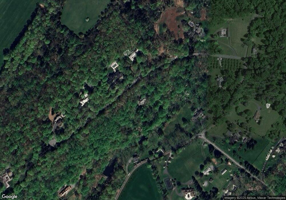
Map
Nearby Homes
- 171 Campbell Rd
- 119 Mosle Rd
- 118-2 Dryden Rd
- 51 Boulderwood Dr
- 7 Timber Ridge Rd
- 40 Hillandale Dr Unit 404
- 4 Rainetree Ridge
- 211 Private Rd
- 91 Post Ln
- 201 Dryden Rd
- 450 Claremont Rd
- 50 Hidden Valley Rd
- 149 Overleigh Rd
- 2 Wright Ln
- 63 Charles Rd
- 136 2 Mount Harmony Rd
- 6 Wright Ln
- 3 Rose Hill
- 11 Wright Ln
- 45 Abby Rd Pendry Natirar
- 51 Skyline Dr
- 43 Skyline Dr
- 131 Campbell Rd
- 71 Skyline Dr
- 141 Campbell Rd
- 111 Campbell Rd
- 221 Campbell Rd
- 87 Skyline Dr
- 161 Campbell Rd
- 101 Campbell Rd
- 161 Campbell Rd
- 190 Peachcroft Dr
- 106 Campbell Rd
- 130 Campbell Rd
- 94 Campbell Rd
- 70 Campbell Rd
- 180 Peachcroft Dr
- 161 Peachcroft Dr
- 154-2 Mountview Ln
- 166 Peachcroft Dr