26 Snowy View Rd Laramie, WY 82070
Estimated Value: $1,246,059
4
Beds
5
Baths
3,191
Sq Ft
$390/Sq Ft
Est. Value
About This Home
This home is located at 26 Snowy View Rd, Laramie, WY 82070 and is currently estimated at $1,246,059, approximately $390 per square foot. 26 Snowy View Rd is a home with nearby schools including Beitel Elementary School, Laramie Middle School, and Laramie High School.
Ownership History
Date
Name
Owned For
Owner Type
Purchase Details
Closed on
Jan 17, 2023
Sold by
Mckenna Mark
Bought by
Mark Mckenna Revocalbe Trust
Current Estimated Value
Purchase Details
Closed on
Nov 29, 2017
Sold by
Dry Creek Construction & Development Llc
Bought by
Mckenna Mark
Home Financials for this Owner
Home Financials are based on the most recent Mortgage that was taken out on this home.
Original Mortgage
$920,000
Interest Rate
3.88%
Mortgage Type
Commercial
Create a Home Valuation Report for This Property
The Home Valuation Report is an in-depth analysis detailing your home's value as well as a comparison with similar homes in the area
Home Values in the Area
Average Home Value in this Area
Purchase History
| Date | Buyer | Sale Price | Title Company |
|---|---|---|---|
| Mark Mckenna Revocalbe Trust | -- | -- | |
| Mckenna Mark | -- | First American Title |
Source: Public Records
Mortgage History
| Date | Status | Borrower | Loan Amount |
|---|---|---|---|
| Previous Owner | Mckenna Mark | $920,000 |
Source: Public Records
Tax History Compared to Growth
Tax History
| Year | Tax Paid | Tax Assessment Tax Assessment Total Assessment is a certain percentage of the fair market value that is determined by local assessors to be the total taxable value of land and additions on the property. | Land | Improvement |
|---|---|---|---|---|
| 2025 | $8,821 | $98,899 | $18,098 | $80,801 |
| 2024 | $8,821 | $121,912 | $21,581 | $100,331 |
| 2023 | $8,848 | $122,305 | $17,049 | $105,256 |
| 2022 | $8,517 | $118,455 | $17,049 | $101,406 |
| 2021 | $7,270 | $100,111 | $15,768 | $84,343 |
| 2020 | $8,464 | $117,675 | $15,768 | $101,907 |
| 2019 | $8,173 | $113,394 | $15,768 | $97,626 |
| 2018 | $7,797 | $111,573 | $18,526 | $93,047 |
| 2017 | $1,470 | $18,526 | $18,526 | $0 |
| 2016 | $1,213 | $14,755 | $14,755 | $0 |
| 2015 | $1,003 | $14,755 | $14,755 | $0 |
| 2014 | $1,003 | $14,755 | $0 | $0 |
Source: Public Records
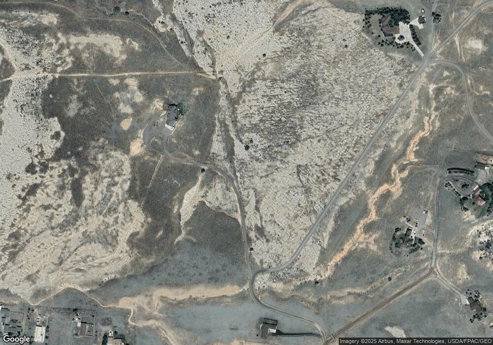
Map
Nearby Homes
- TBD Sherman Hill Rd
- 1517 Shetland Dr
- 1501 Arabian Dr
- 4609 Meadowlark Ln
- 4328 Beech St Unit SR1
- 4328 Beech St Unit 7
- 3210 Evergreen Dr
- 4746 E Skyline Dr Unit 31
- 4746 E Skyline Dr Unit 47
- 4500 E Meadowlark Ln Unit A
- 4223 Moraine St
- 1702 Walsh Ct Unit C
- 4141 Cliff St
- 4031 Cliff St
- 1916 Peak Cir
- 4039 Bill Nye Ave
- 4037 Bill Nye Ave
- 4033 Bill Nye Ave
- 429 Bill Nye Ave
- 4029 Bill Nye Ave
- 14 Snowy View Ct
- 36 Snowy View Rd
- 5947 Bill Nye Ave
- 5905 Bill Nye Ave
- 15 Snowy View Ct
- 6315 Pilot Peak Rd
- 2215 Mountain Shadow Ln
- 5805 Bill Nye Ave
- 6107 Pilot Peak Rd
- 12 Snowy View Ct
- 9 Snowy View Rd
- 5741 Bill Nye Ave
- 5629 Bill Nye Ave
- 2216 Mountain Shadow Ln
- 2317 Mountain Shadow Ln
- 6342 Pilot Peak Rd
- 2205 Sky View Ln
- 816 Out Our Way
- 5617 Bill Nye Ave
- 2217 Sky View Ln