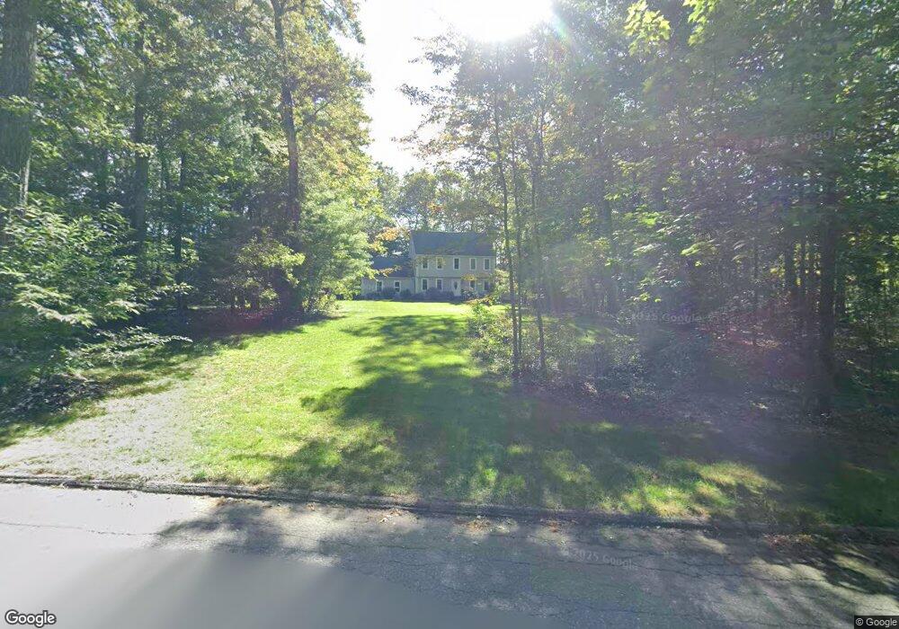
26 Stagecoach Rd Lancaster, MA 01523
Estimated Value: $647,000 - $763,000
3
Beds
4
Baths
1,938
Sq Ft
$360/Sq Ft
Est. Value
About This Home
This home is located at 26 Stagecoach Rd, Lancaster, MA 01523 and is currently estimated at $697,753, approximately $360 per square foot. 26 Stagecoach Rd is a home located in Worcester County with nearby schools including Mary Rowlandson Elementary School, Luther Burbank Middle School, and Nashoba Regional High School.
Ownership History
Date
Name
Owned For
Owner Type
Purchase Details
Closed on
Mar 30, 2017
Sold by
Lafond Ann M
Bought by
Ann M Lafond Rt
Current Estimated Value
Purchase Details
Closed on
Feb 5, 1990
Sold by
Stagecoach Rt
Bought by
Lafond Hervey
Create a Home Valuation Report for This Property
The Home Valuation Report is an in-depth analysis detailing your home's value as well as a comparison with similar homes in the area
Home Values in the Area
Average Home Value in this Area
Purchase History
| Date | Buyer | Sale Price | Title Company |
|---|---|---|---|
| Ann M Lafond Rt | -- | -- | |
| Lafond Hervey | $209,000 | -- |
Source: Public Records
Mortgage History
| Date | Status | Borrower | Loan Amount |
|---|---|---|---|
| Previous Owner | Lafond Hervey | $240,000 | |
| Previous Owner | Lafond Hervey | $140,000 | |
| Previous Owner | Lafond Hervey | $160,000 | |
| Previous Owner | Lafond Hervey | $144,000 |
Source: Public Records
Tax History
| Year | Tax Paid | Tax Assessment Tax Assessment Total Assessment is a certain percentage of the fair market value that is determined by local assessors to be the total taxable value of land and additions on the property. | Land | Improvement |
|---|---|---|---|---|
| 2025 | $11,380 | $704,200 | $171,300 | $532,900 |
| 2024 | $11,490 | $658,100 | $171,300 | $486,800 |
| 2023 | $10,584 | $615,700 | $151,300 | $464,400 |
| 2022 | $10,445 | $537,000 | $148,600 | $388,400 |
| 2021 | $10,334 | $517,200 | $148,600 | $368,600 |
| 2020 | $9,335 | $470,300 | $148,600 | $321,700 |
| 2019 | $8,972 | $454,300 | $148,600 | $305,700 |
| 2018 | $8,110 | $405,900 | $148,600 | $257,300 |
| 2016 | $7,683 | $393,000 | $147,200 | $245,800 |
| 2015 | $7,311 | $389,700 | $147,200 | $242,500 |
| 2014 | $7,084 | $374,600 | $147,200 | $227,400 |
Source: Public Records
Map
Nearby Homes
- 12 Meditation Ln Unit 12
- 7 Lawson Ave
- 1497 Lunenburg Rd
- 0 Windsor Rd
- 35 Mcgovern Blvd
- 2038-1 Laurel Hill Ln
- 2038 Laurel Hill Ln Unit LOT 18
- 10 Nashua St
- 4 Davis St
- 25 Front St
- 30 Ayer Rd
- 303 Ponakin Rd
- 437 Johnny Appleseed Ln
- 44 Fire Road 12
- 2290 Main St
- 11 Ambrose Way Unit 9
- 43 Ambrose Way Unit 43
- 10 Ambrose Way Unit 10
- 31 Ambrose Way Unit 31
- 34 Ambrose Way Unit 34
- 50 Stagecoach Rd
- 10 Stagecoach Rd
- 15 Stagecoach Rd
- 45 Stagecoach Rd
- 76 Stagecoach Rd
- 94 Old Union Turnpike
- 87 Stagecoach Rd
- 141 Old Union Turnpike
- 100 Stagecoach Rd
- 101 Stagecoach Rd
- 116 Stagecoach Rd
- 2 Massachusetts 2
- 123 Stagecoach Rd
- 131 Stagecoach Rd
- 61 Old Union Turnpike
- 56 Vincent Ave
- 50 Vincent Ave
- 53 Kinnear Ave
- 45 Kinnear Ave
- 36 Vincent Ave
Your Personal Tour Guide
Ask me questions while you tour the home.