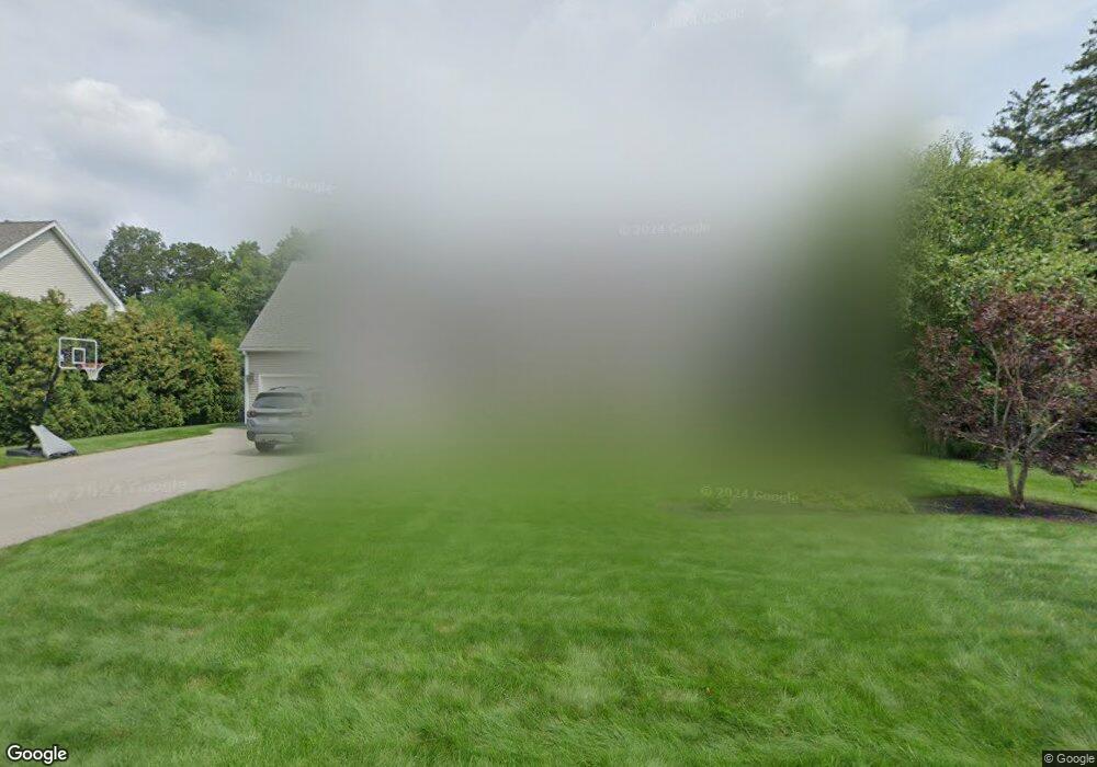
26 Steele St Holden, MA 01520
Estimated Value: $591,000 - $841,000
3
Beds
2
Baths
2,506
Sq Ft
$298/Sq Ft
Est. Value
About This Home
This home is located at 26 Steele St, Holden, MA 01520 and is currently estimated at $746,530, approximately $297 per square foot. 26 Steele St is a home located in Worcester County with nearby schools including Wachusett Regional High School, Abby Kelley Foster Charter Public School, and Bancroft School.
Ownership History
Date
Name
Owned For
Owner Type
Purchase Details
Closed on
Jun 10, 2009
Sold by
Douglass Fred E and Hickman Irene M
Bought by
Piascik Tomasz and Piascik Joanna M
Current Estimated Value
Home Financials for this Owner
Home Financials are based on the most recent Mortgage that was taken out on this home.
Original Mortgage
$250,000
Outstanding Balance
$158,379
Interest Rate
4.82%
Mortgage Type
Purchase Money Mortgage
Estimated Equity
$588,151
Purchase Details
Closed on
Jun 30, 1998
Sold by
Macnutt Elaine H and Mallquist Linda L
Bought by
Douglass Fred E and Hickman Irene M
Home Financials for this Owner
Home Financials are based on the most recent Mortgage that was taken out on this home.
Original Mortgage
$60,000
Interest Rate
7.09%
Mortgage Type
Purchase Money Mortgage
Create a Home Valuation Report for This Property
The Home Valuation Report is an in-depth analysis detailing your home's value as well as a comparison with similar homes in the area
Home Values in the Area
Average Home Value in this Area
Purchase History
| Date | Buyer | Sale Price | Title Company |
|---|---|---|---|
| Piascik Tomasz | $115,000 | -- | |
| Douglass Fred E | $75,000 | -- |
Source: Public Records
Mortgage History
| Date | Status | Borrower | Loan Amount |
|---|---|---|---|
| Open | Piascik Tomasz | $250,000 | |
| Previous Owner | Douglass Fred E | $113,000 | |
| Previous Owner | Douglass Fred E | $60,000 |
Source: Public Records
Tax History Compared to Growth
Tax History
| Year | Tax Paid | Tax Assessment Tax Assessment Total Assessment is a certain percentage of the fair market value that is determined by local assessors to be the total taxable value of land and additions on the property. | Land | Improvement |
|---|---|---|---|---|
| 2025 | $9,802 | $707,200 | $167,300 | $539,900 |
| 2024 | $9,705 | $685,900 | $162,500 | $523,400 |
| 2023 | $9,169 | $611,700 | $141,200 | $470,500 |
| 2022 | $9,040 | $545,900 | $110,400 | $435,500 |
| 2021 | $199 | $500,500 | $105,200 | $395,300 |
| 2020 | $8,371 | $492,400 | $100,400 | $392,000 |
| 2019 | $7,999 | $458,400 | $100,400 | $358,000 |
| 2018 | $7,873 | $447,100 | $95,600 | $351,500 |
| 2017 | $7,201 | $409,400 | $95,600 | $313,800 |
| 2016 | $6,803 | $394,400 | $91,200 | $303,200 |
| 2015 | $6,579 | $363,100 | $91,200 | $271,900 |
| 2014 | $6,445 | $363,100 | $91,200 | $271,900 |
Source: Public Records
Map
Nearby Homes