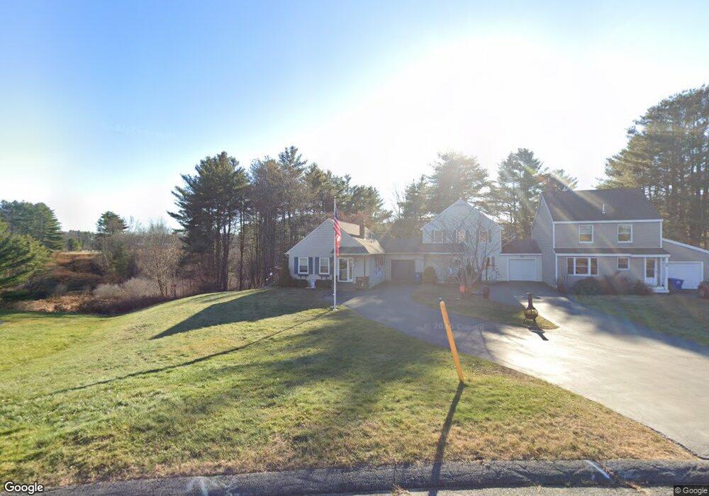
26 Summit Cir Westbrook, ME 04092
Estimated Value: $413,000 - $448,000
3
Beds
1
Bath
1,310
Sq Ft
$329/Sq Ft
Est. Value
About This Home
This home is located at 26 Summit Cir, Westbrook, ME 04092 and is currently estimated at $430,607, approximately $328 per square foot. 26 Summit Cir is a home located in Cumberland County with nearby schools including Westbrook High School, St. Brigid School, and Breakwater School.
Ownership History
Date
Name
Owned For
Owner Type
Purchase Details
Closed on
Aug 14, 2009
Sold by
Calise Marcia I
Bought by
Koletis John J and Koletis Kathy
Current Estimated Value
Home Financials for this Owner
Home Financials are based on the most recent Mortgage that was taken out on this home.
Original Mortgage
$84,000
Interest Rate
4.78%
Mortgage Type
Purchase Money Mortgage
Create a Home Valuation Report for This Property
The Home Valuation Report is an in-depth analysis detailing your home's value as well as a comparison with similar homes in the area
Purchase History
We collect this data history from publicly available records. To have your information removed, we recommend requesting removal directly through your county’s website.
| Date | Buyer | Sale Price | Title Company |
|---|---|---|---|
| Koletis John J | -- | -- |
Source: Public Records
Mortgage History
We collect this data history from publicly available records. To have your information removed, we recommend requesting removal directly through your county’s website.
| Date | Status | Borrower | Loan Amount |
|---|---|---|---|
| Closed | Koletis John J | $84,000 | |
| Previous Owner | Koletis John J | $140,000 |
Source: Public Records
Tax History
| Year | Tax Paid | Tax Assessment Tax Assessment Total Assessment is a certain percentage of the fair market value that is determined by local assessors to be the total taxable value of land and additions on the property. | Land | Improvement |
|---|---|---|---|---|
| 2023 | $4,292 | $257,300 | $92,100 | $165,200 |
| 2022 | $3,882 | $214,500 | $76,800 | $137,700 |
| 2021 | $3,825 | $214,500 | $76,800 | $137,700 |
| 2020 | $3,831 | $214,500 | $76,800 | $137,700 |
| 2019 | $2,934 | $214,500 | $76,800 | $137,700 |
| 2018 | $2,842 | $183,500 | $66,800 | $116,700 |
| 2017 | $2,765 | $183,500 | $66,800 | $116,700 |
| 2016 | $3,376 | $183,500 | $66,800 | $116,700 |
| 2015 | $3,296 | $183,500 | $66,800 | $116,700 |
| 2014 | $3,156 | $183,500 | $66,800 | $116,700 |
| 2013 | $3,156 | $183,500 | $66,800 | $116,700 |
Source: Public Records
Map
Nearby Homes
- 329 Austin St
- 147 Pride St
- 7 Collins Place Unit 6
- 22 Collins Place Dr Unit 4
- 7 Apex Dr Unit 2
- 5 Apex Dr Unit 1
- 290 Bridgton Rd Unit 1
- 30 Fawn Woods Way Unit 30
- 3 Collins Place Unit 5
- 171 Winterberry Dr Unit 48
- 418 Bridge St
- 157 Winterberry Dr Unit 46
- 16 Viking Ln Unit 6
- 171 Brook St Unit 49
- 171 Brook St Unit 44
- 171 Brook St Unit 50
- 171 Brook St Unit 52
- 171 Brook St Unit 41
- 171 Brook St Unit 47
- 171 Brook St Unit 54
Your Personal Tour Guide
Ask me questions while you tour the home.