Estimated Value: $381,000 - $483,000
Studio
--
Bath
1,080
Sq Ft
$393/Sq Ft
Est. Value
About This Home
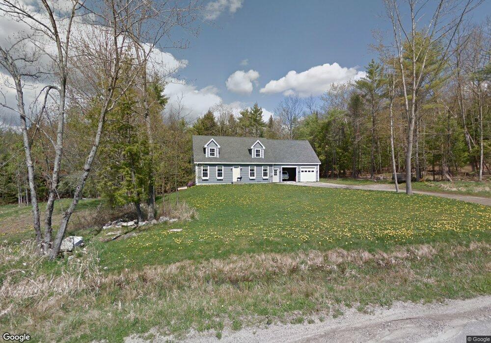
This home is located at 26 Summit Dr, Minot, ME 04258 and is currently estimated at $424,908, approximately $393 per square foot. 26 Summit Dr is a home with nearby schools including Minot Consolidated School.
Ownership History
Date
Name
Owned For
Owner Type
Purchase Details
Closed on
Dec 22, 2010
Sold by
Carrier Jason J
Bought by
Carrier Jason J and Carrier Karen M
Current Estimated Value
Home Financials for this Owner
Home Financials are based on the most recent Mortgage that was taken out on this home.
Original Mortgage
$185,000
Outstanding Balance
$115,709
Interest Rate
4.17%
Mortgage Type
Purchase Money Mortgage
Estimated Equity
$309,199
Create a Home Valuation Report for This Property
The Home Valuation Report is an in-depth analysis detailing your home's value as well as a comparison with similar homes in the area
Home Values in the Area
Average Home Value in this Area
Purchase History
| Date | Buyer | Sale Price | Title Company |
|---|---|---|---|
| Carrier Jason J | -- | -- |
Source: Public Records
Mortgage History
| Date | Status | Borrower | Loan Amount |
|---|---|---|---|
| Open | Carrier Jason J | $185,000 | |
| Previous Owner | Carrier Jason J | $14,000 |
Source: Public Records
Tax History
| Year | Tax Paid | Tax Assessment Tax Assessment Total Assessment is a certain percentage of the fair market value that is determined by local assessors to be the total taxable value of land and additions on the property. | Land | Improvement |
|---|---|---|---|---|
| 2025 | $3,868 | $334,867 | $65,270 | $269,597 |
| 2024 | $3,734 | $334,867 | $65,270 | $269,597 |
| 2023 | $3,349 | $334,867 | $65,270 | $269,597 |
| 2022 | $3,298 | $334,867 | $65,270 | $269,597 |
| 2021 | $3,216 | $194,301 | $40,618 | $153,683 |
| 2020 | $3,216 | $194,301 | $40,618 | $153,683 |
| 2019 | $3,080 | $194,301 | $40,618 | $153,683 |
| 2018 | $3,080 | $194,301 | $40,618 | $153,683 |
| 2017 | $3,051 | $194,301 | $40,618 | $153,683 |
| 2016 | $2,992 | $194,301 | $40,618 | $153,683 |
| 2015 | $3,031 | $194,301 | $40,618 | $153,683 |
| 2014 | $2,915 | $194,301 | $40,618 | $153,683 |
Source: Public Records
Map
Nearby Homes
- 232 Grange Ave
- 78 Star Dr
- 62 N Main St
- 13 Martin St
- 17 Water St
- 11 Pine St
- 62 North St
- 0 North St
- 17 Walker Rd
- 125 S Main St
- 107 Riverside Dr
- 18 Purington Ave
- 19 Tirrell Ave
- 355 Woodman Hill Rd
- 9 Raspberry Hill Rd
- Lot 14C Mechanic Falls Rd
- Lot 2 Lane Rd
- Lot 7 Lane Rd
- Lot #1 Lane Rd
- 339 Harris Hill Rd
Your Personal Tour Guide
Ask me questions while you tour the home.