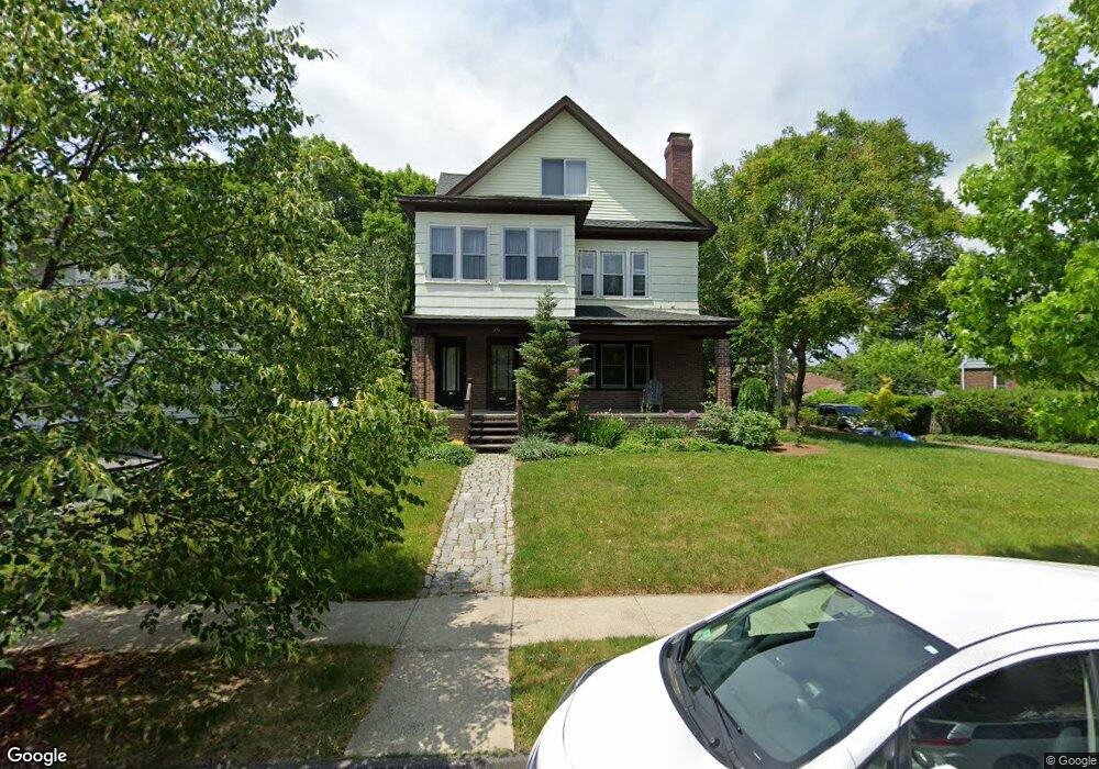
26 Tahanto Rd Unit 3 Worcester, MA 01602
Newton Square NeighborhoodEstimated Value: $216,000 - $344,000
1
Bed
1
Bath
1,160
Sq Ft
$227/Sq Ft
Est. Value
About This Home
This home is located at 26 Tahanto Rd Unit 3, Worcester, MA 01602 and is currently estimated at $262,773, approximately $226 per square foot. 26 Tahanto Rd Unit 3 is a home located in Worcester County with nearby schools including Chandler Magnet, Jacob Hiatt Magnet School, and May Street Elementary School.
Ownership History
Date
Name
Owned For
Owner Type
Purchase Details
Closed on
Aug 29, 1994
Sold by
Fnma
Bought by
Manzi Stephen A and Robbins Barbara
Current Estimated Value
Home Financials for this Owner
Home Financials are based on the most recent Mortgage that was taken out on this home.
Original Mortgage
$35,000
Interest Rate
8.65%
Mortgage Type
Purchase Money Mortgage
Purchase Details
Closed on
Dec 7, 1992
Sold by
Foutaine Lynne M
Bought by
Gmac Mtg Corp Iowa
Create a Home Valuation Report for This Property
The Home Valuation Report is an in-depth analysis detailing your home's value as well as a comparison with similar homes in the area
Home Values in the Area
Average Home Value in this Area
Purchase History
| Date | Buyer | Sale Price | Title Company |
|---|---|---|---|
| Manzi Stephen A | $43,800 | -- | |
| Gmac Mtg Corp Iowa | $34,805 | -- |
Source: Public Records
Mortgage History
| Date | Status | Borrower | Loan Amount |
|---|---|---|---|
| Open | Gmac Mtg Corp Iowa | $53,000 | |
| Closed | Gmac Mtg Corp Iowa | $35,000 | |
| Previous Owner | Gmac Mtg Corp Iowa | $53,000 | |
| Previous Owner | Gmac Mtg Corp Iowa | $75,000 |
Source: Public Records
Tax History Compared to Growth
Tax History
| Year | Tax Paid | Tax Assessment Tax Assessment Total Assessment is a certain percentage of the fair market value that is determined by local assessors to be the total taxable value of land and additions on the property. | Land | Improvement |
|---|---|---|---|---|
| 2025 | $3,228 | $244,700 | $0 | $244,700 |
| 2024 | $2,980 | $216,700 | $0 | $216,700 |
| 2023 | $2,719 | $189,600 | $0 | $189,600 |
| 2022 | $1,892 | $124,400 | $0 | $124,400 |
| 2021 | $1,864 | $114,500 | $0 | $114,500 |
| 2020 | $2,113 | $124,300 | $0 | $124,300 |
| 2019 | $1,895 | $105,300 | $0 | $105,300 |
| 2018 | $1,919 | $101,500 | $0 | $101,500 |
| 2017 | $2,076 | $108,000 | $0 | $108,000 |
| 2016 | $2,226 | $108,000 | $0 | $108,000 |
| 2015 | $2,168 | $108,000 | $0 | $108,000 |
| 2014 | $2,110 | $108,000 | $0 | $108,000 |
Source: Public Records
Map
Nearby Homes
- 26 Tahanto Rd Unit 2
- 26 Tahanto Rd Unit 1
- 28 Tahanto Rd
- 24 Tahanto Rd
- 22 Colonial Rd
- 22 Colonial Rd Unit 2
- 31 Maplewood Rd
- 29 Maplewood Rd
- 29 Tahanto Rd
- 20 Tahanto Rd
- 24 Colonial Rd
- 31 Tahanto Rd
- 25 Tahanto Rd
- 27 Maplewood Rd
- 17 Colonial Rd
- 17 Colonial Rd Unit 1
- 23 Tahanto Rd
- 18 Tahanto Rd
- 15 Colonial Rd
- 23 Maplewood Rd