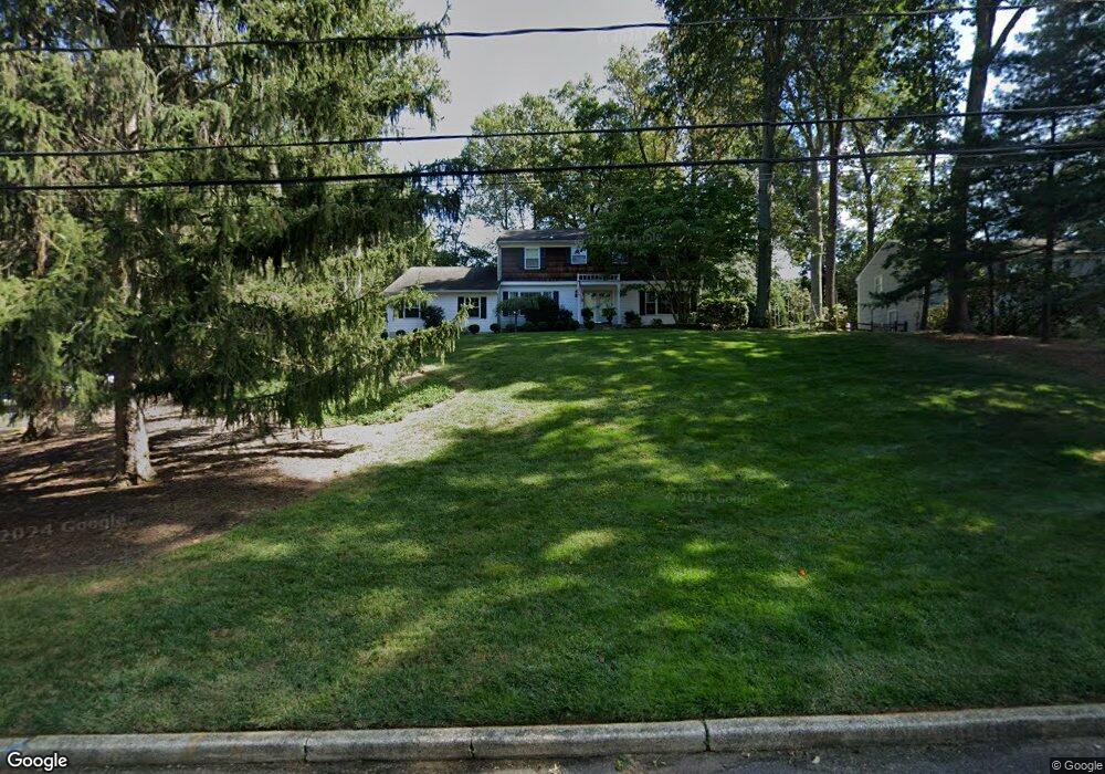
26 Tall Tree Rd Middletown, NJ 07748
New Monmouth NeighborhoodEstimated Value: $910,000 - $1,256,000
4
Beds
2
Baths
2,582
Sq Ft
$409/Sq Ft
Est. Value
About This Home
This home is located at 26 Tall Tree Rd, Middletown, NJ 07748 and is currently estimated at $1,056,614, approximately $409 per square foot. 26 Tall Tree Rd is a home located in Monmouth County with nearby schools including Nut Swamp Elementary School, Thompson Middle School, and Middletown - South High School.
Ownership History
Date
Name
Owned For
Owner Type
Purchase Details
Closed on
Sep 27, 2010
Sold by
Parascand Michael J and Parascand Kristin A
Bought by
Cahill Joseph M and Battaglino Elizabeth
Current Estimated Value
Home Financials for this Owner
Home Financials are based on the most recent Mortgage that was taken out on this home.
Original Mortgage
$283,200
Outstanding Balance
$187,736
Interest Rate
4.44%
Mortgage Type
New Conventional
Estimated Equity
$868,878
Purchase Details
Closed on
Dec 22, 2005
Sold by
Potts William A
Bought by
Parascand Michael J and Parascand Kristina A
Home Financials for this Owner
Home Financials are based on the most recent Mortgage that was taken out on this home.
Original Mortgage
$471,000
Interest Rate
6.39%
Mortgage Type
Purchase Money Mortgage
Create a Home Valuation Report for This Property
The Home Valuation Report is an in-depth analysis detailing your home's value as well as a comparison with similar homes in the area
Home Values in the Area
Average Home Value in this Area
Purchase History
| Date | Buyer | Sale Price | Title Company |
|---|---|---|---|
| Cahill Joseph M | $579,000 | Chicago Title Insurance Co | |
| Parascand Michael J | $661,000 | -- |
Source: Public Records
Mortgage History
| Date | Status | Borrower | Loan Amount |
|---|---|---|---|
| Open | Cahill Joseph M | $283,200 | |
| Previous Owner | Parascand Michael J | $471,000 |
Source: Public Records
Tax History
| Year | Tax Paid | Tax Assessment Tax Assessment Total Assessment is a certain percentage of the fair market value that is determined by local assessors to be the total taxable value of land and additions on the property. | Land | Improvement |
|---|---|---|---|---|
| 2025 | $13,076 | $887,800 | $540,900 | $346,900 |
| 2024 | $13,176 | $794,900 | $442,200 | $352,700 |
| 2023 | $13,176 | $758,100 | $413,600 | $344,500 |
| 2022 | $12,399 | $652,200 | $291,700 | $360,500 |
| 2021 | $12,399 | $596,100 | $275,400 | $320,700 |
| 2020 | $12,529 | $586,000 | $267,900 | $318,100 |
| 2019 | $12,338 | $584,200 | $267,900 | $316,300 |
| 2018 | $12,215 | $563,700 | $255,400 | $308,300 |
| 2017 | $11,667 | $549,300 | $250,400 | $298,900 |
| 2016 | $11,895 | $558,200 | $275,400 | $282,800 |
| 2015 | $11,453 | $536,200 | $255,400 | $280,800 |
| 2014 | $10,989 | $502,000 | $245,400 | $256,600 |
Source: Public Records
Map
Nearby Homes
- 49 Stork Ct
- 77 Bunker Hill Dr
- 7 Shire Way
- 164 Heights Terrace
- 3 Deridder Ct
- 7 Cormorant Dr
- 234 Borden Rd
- 911 Middletown Lincroft Rd
- 129 Four Winds Dr
- 185 Ballantine Rd
- 35 Woodland Dr
- 0 Hamiltonian Dr Unit 22600718
- 6 Twin Brooks Ct
- 45 Galloping Hill Cir
- 132 Apple Blossom Ln
- 41 Polly Way
- 62 Cypress Neck Rd
- 30 Winchester Ln
- 33 Winchester Ln
- 158 Willow Grove Dr
- 20 Tall Tree Rd
- 32 Tall Tree Rd
- 37 Fox Hill Rd
- 33 Fox Hill Rd
- 25 Tall Tree Rd
- 14 Tall Tree Rd
- 38 Tall Tree Rd
- 19 Tall Tree Rd
- 31 Tall Tree Rd
- 27 Fox Hill Rd
- 41 Fox Hill Rd
- 33 Tall Tree Rd
- 11 Tall Tree Rd
- 44 Tall Tree Rd
- 38 Fox Hill Rd
- 16 Mayflower Ct
- 28 Mayflower Ct
- 8 Tall Tree Rd
- 19 Fox Hill Rd
- 32 Fox Hill Rd
Your Personal Tour Guide
Ask me questions while you tour the home.