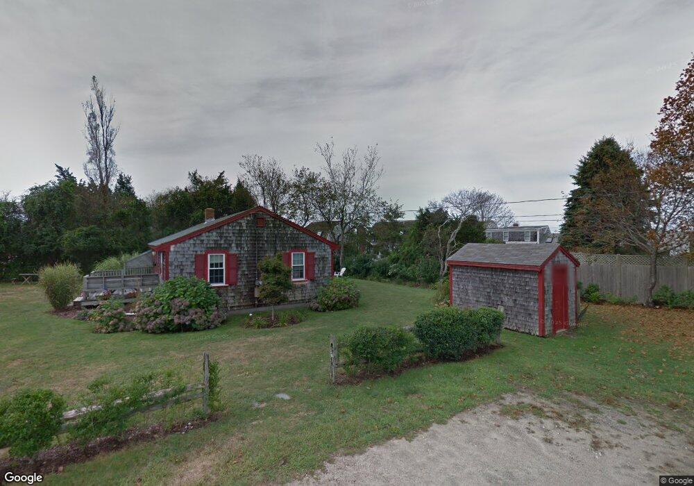
26 Thomas Cir Falmouth, MA 02540
Falmouth Village NeighborhoodEstimated Value: $1,214,000 - $1,962,531
5
Beds
3
Baths
2,472
Sq Ft
$623/Sq Ft
Est. Value
About This Home
This home is located at 26 Thomas Cir, Falmouth, MA 02540 and is currently estimated at $1,540,383, approximately $623 per square foot. 26 Thomas Cir is a home located in Barnstable County with nearby schools including Mullen-Hall School, Lawrence School, and Morse Pond School.
Ownership History
Date
Name
Owned For
Owner Type
Purchase Details
Closed on
Jun 24, 1992
Sold by
Boselli Reynold C and Walkey Edwin A
Bought by
Steeves Frederick and Steeves Natalie T
Current Estimated Value
Home Financials for this Owner
Home Financials are based on the most recent Mortgage that was taken out on this home.
Original Mortgage
$80,000
Interest Rate
8.57%
Mortgage Type
Purchase Money Mortgage
Create a Home Valuation Report for This Property
The Home Valuation Report is an in-depth analysis detailing your home's value as well as a comparison with similar homes in the area
Home Values in the Area
Average Home Value in this Area
Purchase History
| Date | Buyer | Sale Price | Title Company |
|---|---|---|---|
| Steeves Frederick | $114,300 | -- | |
| Steeves Frederick | $114,300 | -- |
Source: Public Records
Mortgage History
| Date | Status | Borrower | Loan Amount |
|---|---|---|---|
| Closed | Steeves Frederick | $80,000 |
Source: Public Records
Tax History Compared to Growth
Tax History
| Year | Tax Paid | Tax Assessment Tax Assessment Total Assessment is a certain percentage of the fair market value that is determined by local assessors to be the total taxable value of land and additions on the property. | Land | Improvement |
|---|---|---|---|---|
| 2025 | $9,116 | $1,553,000 | $749,600 | $803,400 |
| 2024 | $8,776 | $1,397,400 | $681,500 | $715,900 |
| 2023 | $8,086 | $1,168,500 | $503,700 | $664,800 |
| 2022 | $8,473 | $1,052,500 | $459,300 | $593,200 |
| 2021 | $8,776 | $1,032,500 | $439,300 | $593,200 |
| 2020 | $5,979 | $696,000 | $399,400 | $296,600 |
| 2019 | $4,917 | $574,400 | $399,400 | $175,000 |
| 2018 | $4,782 | $556,100 | $399,400 | $156,700 |
| 2017 | $4,680 | $548,600 | $399,400 | $149,200 |
| 2016 | $4,592 | $548,600 | $399,400 | $149,200 |
| 2015 | $4,492 | $548,500 | $399,400 | $149,100 |
| 2014 | $3,804 | $466,800 | $312,700 | $154,100 |
Source: Public Records
Map
Nearby Homes
- 15 Hedge Ln
- 65 Walker St
- 71 Main St
- 253 Scranton Ave
- 98 Main St
- 98 Main St Unit 1
- 480 Main St Unit 1
- 30 Katherine Lee Bates Rd
- 9 Fairmount Ave Unit 1
- 9 Fairmount Ave
- 110 Dillingham Ave Unit 322
- 33 Oakwood Ave
- 286 Grand Ave Unit 6
- 286 Grand Ave Unit 8
- 286 Grand Ave Unit 4
- 55 Jericho Path
- 38 Landfall Unit 38
- 38 Landfall
- 22 Alma Rd
- 87 Oyster Pond Rd
- 49 Thomas Ln Unit 4
- 49 Thomas Ln Unit 3
- 49 Thomas Ln Unit 2
- 49 Thomas Ln Unit 1
- 49 Thomas Ln
- 49 Thomas Ln Unit 1
- 49 Thomas Ln Unit 2
- 336 Walker St
- 22 Thomas Cir
- 22 Thomas Cir Unit 22/24
- 328 Walker St
- 14 Thomas Cir
- 346 Walker St
- 51 Thomas Ln
- 69 Thomas Ln
- 320 Walker St
- 41 Thomas Ln
- 41 Thomas Ln Unit 41-43
- 352 Walker St
- 0 Thomas Ln Unit 6015943