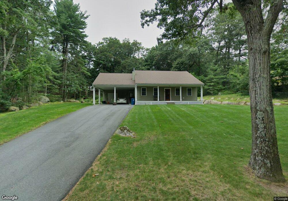
26 Trifiro Rd Billerica, MA 01821
Estimated Value: $722,000 - $786,000
--
Bed
1
Bath
1,836
Sq Ft
$408/Sq Ft
Est. Value
About This Home
This home is located at 26 Trifiro Rd, Billerica, MA 01821 and is currently estimated at $749,979, approximately $408 per square foot. 26 Trifiro Rd is a home located in Middlesex County with nearby schools including Billerica Memorial High School and Knowledge Beginnings South.
Ownership History
Date
Name
Owned For
Owner Type
Purchase Details
Closed on
Jul 16, 2019
Sold by
Sprangers Glenn M and Sprangers Gail P
Bought by
4 Cedar Hill Ave Llc
Current Estimated Value
Purchase Details
Closed on
Aug 18, 2015
Sold by
Bulger Charles E
Bought by
Sprangers Gail P and Sprangers Glenn M
Home Financials for this Owner
Home Financials are based on the most recent Mortgage that was taken out on this home.
Original Mortgage
$1
Interest Rate
4.08%
Purchase Details
Closed on
Jun 15, 1978
Bought by
Sprangers Glenn M and Sprangers Gail P
Create a Home Valuation Report for This Property
The Home Valuation Report is an in-depth analysis detailing your home's value as well as a comparison with similar homes in the area
Home Values in the Area
Average Home Value in this Area
Purchase History
| Date | Buyer | Sale Price | Title Company |
|---|---|---|---|
| 4 Cedar Hill Ave Llc | -- | -- | |
| Sprangers Gail P | -- | -- | |
| Sprangers Glenn M | -- | -- |
Source: Public Records
Mortgage History
| Date | Status | Borrower | Loan Amount |
|---|---|---|---|
| Previous Owner | Sprangers Gail P | $1 |
Source: Public Records
Tax History Compared to Growth
Tax History
| Year | Tax Paid | Tax Assessment Tax Assessment Total Assessment is a certain percentage of the fair market value that is determined by local assessors to be the total taxable value of land and additions on the property. | Land | Improvement |
|---|---|---|---|---|
| 2025 | $8,383 | $737,300 | $341,100 | $396,200 |
| 2024 | $8,087 | $716,300 | $334,300 | $382,000 |
| 2023 | $7,968 | $671,300 | $291,700 | $379,600 |
| 2022 | $7,094 | $561,200 | $253,600 | $307,600 |
| 2021 | $6,728 | $517,500 | $223,900 | $293,600 |
| 2020 | $6,603 | $508,300 | $214,700 | $293,600 |
| 2019 | $6,518 | $483,500 | $214,700 | $268,800 |
| 2018 | $6,252 | $440,600 | $190,600 | $250,000 |
| 2017 | $5,947 | $422,100 | $184,600 | $237,500 |
| 2016 | $2,554 | $180,600 | $180,600 | $0 |
| 2015 | $3,576 | $254,700 | $180,600 | $74,100 |
| 2014 | $3,494 | $244,500 | $172,900 | $71,600 |
Source: Public Records
Map
Nearby Homes
- 15 Blades Cir
- 21 Shedd Rd
- 10 Avondale Ave
- 79 Bridle Rd
- 14 Elsie Ave
- 19 Parker St
- 12 Stoney Dr
- 11 Simonds Farm Rd
- 216 Rangeway Rd Unit 192
- 405 Boston Rd Unit 2
- 23 Salem Rd
- 396 Boston Rd Unit 103
- 5 Karen Cir Unit 16
- Map29-14-1 Rangeway Rd
- 198 Nashua Rd
- 2 Karen Cir Unit 2
- 13 Westgate Rd
- 10 Charnstaff Ln Unit 204
- 90 Rangeway Rd Unit 303
- 14 Kenmar Dr Unit 111