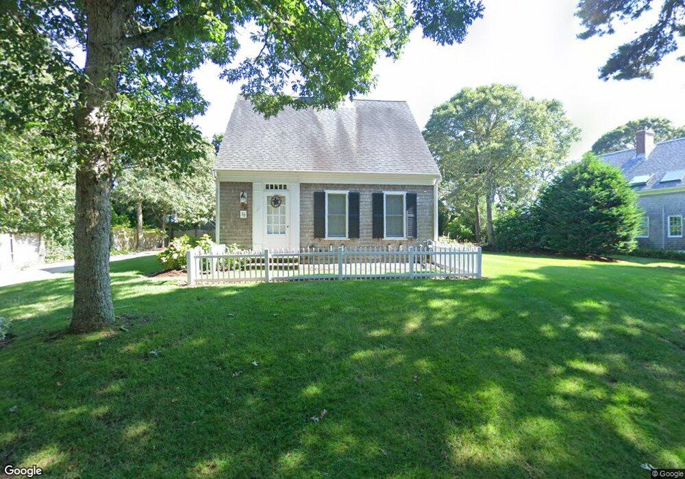
26 Uncle Abners Path Chatham, MA 02633
South Chatham NeighborhoodEstimated Value: $1,014,000 - $1,424,000
3
Beds
2
Baths
1,958
Sq Ft
$632/Sq Ft
Est. Value
About This Home
This home is located at 26 Uncle Abners Path, Chatham, MA 02633 and is currently estimated at $1,237,329, approximately $631 per square foot. 26 Uncle Abners Path is a home located in Barnstable County with nearby schools including Chatham Elementary School, Harwich Elementary School, and Monomoy Regional Middle School.
Ownership History
Date
Name
Owned For
Owner Type
Purchase Details
Closed on
Mar 22, 1999
Sold by
Wheaton William D and Wheaton Janet Lee
Bought by
Roderick Roger J and Roderick Cynthia L
Current Estimated Value
Home Financials for this Owner
Home Financials are based on the most recent Mortgage that was taken out on this home.
Original Mortgage
$50,000
Interest Rate
6.74%
Mortgage Type
Purchase Money Mortgage
Create a Home Valuation Report for This Property
The Home Valuation Report is an in-depth analysis detailing your home's value as well as a comparison with similar homes in the area
Home Values in the Area
Average Home Value in this Area
Purchase History
| Date | Buyer | Sale Price | Title Company |
|---|---|---|---|
| Roderick Roger J | $62,500 | -- | |
| Roderick Roger J | $62,500 | -- |
Source: Public Records
Mortgage History
| Date | Status | Borrower | Loan Amount |
|---|---|---|---|
| Open | Roderick Roger J | $224,000 | |
| Closed | Roderick Roger J | $221,800 | |
| Closed | Roderick Roger J | $50,000 |
Source: Public Records
Tax History
| Year | Tax Paid | Tax Assessment Tax Assessment Total Assessment is a certain percentage of the fair market value that is determined by local assessors to be the total taxable value of land and additions on the property. | Land | Improvement |
|---|---|---|---|---|
| 2025 | $3,291 | $948,300 | $410,500 | $537,800 |
| 2024 | $3,218 | $901,300 | $387,200 | $514,100 |
| 2023 | $3,067 | $790,500 | $322,700 | $467,800 |
| 2022 | $2,925 | $633,100 | $322,700 | $310,400 |
| 2021 | $2,884 | $579,200 | $293,300 | $285,900 |
| 2020 | $2,808 | $582,500 | $293,300 | $289,200 |
| 2019 | $2,717 | $560,200 | $274,200 | $286,000 |
| 2018 | $2,513 | $516,000 | $253,100 | $262,900 |
| 2017 | $2,535 | $504,000 | $245,600 | $258,400 |
| 2016 | $2,496 | $497,200 | $240,900 | $256,300 |
| 2015 | $2,473 | $495,500 | $243,800 | $251,700 |
| 2014 | $2,513 | $494,600 | $243,800 | $250,800 |
Source: Public Records
Map
Nearby Homes
- 2386 Main St
- 48 Sylvan Way
- 2548 Main St
- 2550 Main St
- 28 Charles St
- 0 Evergreen Ln
- 0 Tirrells Way
- 5 Ridge Cove Ln Unit 5
- 39 Jedidiah Way
- 37 Glendon Way
- 132 Stage Coach Dr
- 1011 Massachusetts 28 Unit C-6
- 9 Wadsworth Rd
- 1805 Main St
- 1761 Main St
- 78 Indian Trail
- 92 Indian Trail
- 44 Buena Vista Rd
- 4 Lake St
- 0 George Ryder Rd Unit 73104629
- 2 Uncle Deane's Rd
- 62 Uncle Deane's Rd
- 62 Uncle Abners Path
- 51 Uncle Abners Path
- 23 Uncle Abners Path
- 33 Uncle Abners Path
- 63 Beach Plum Way
- 11 Uncle Abners Path
- 11 Uncle Deanes Rd
- 11 Uncle Deane's Rd
- 0 Uncle Deane's Rd
- 22 Bearberry Ln
- 0 Beach Plum Rd
- 65 Uncle Abners Path
- 45 Deepwater Ln
- 70 Uncle Abners Path
- 70 Uncle Deane's Rd
- 29 Deepwater Ln
- 55 Deepwater Ln
- 19 Bearberry Ln
Your Personal Tour Guide
Ask me questions while you tour the home.