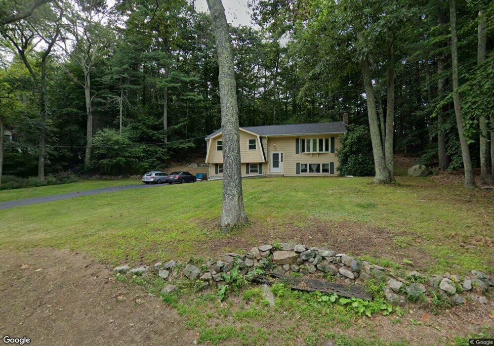
26 Union St Norfolk, MA 02056
Estimated Value: $568,027 - $700,000
3
Beds
2
Baths
1,141
Sq Ft
$556/Sq Ft
Est. Value
About This Home
This home is located at 26 Union St, Norfolk, MA 02056 and is currently estimated at $634,507, approximately $556 per square foot. 26 Union St is a home located in Norfolk County with nearby schools including H. Olive Day School, Freeman-Kennedy School, and Woodside Montessori Academy.
Ownership History
Date
Name
Owned For
Owner Type
Purchase Details
Closed on
Sep 29, 1997
Sold by
Bergen John J
Bought by
Brabants Michael R
Current Estimated Value
Home Financials for this Owner
Home Financials are based on the most recent Mortgage that was taken out on this home.
Original Mortgage
$148,500
Interest Rate
7.47%
Mortgage Type
Purchase Money Mortgage
Create a Home Valuation Report for This Property
The Home Valuation Report is an in-depth analysis detailing your home's value as well as a comparison with similar homes in the area
Home Values in the Area
Average Home Value in this Area
Purchase History
| Date | Buyer | Sale Price | Title Company |
|---|---|---|---|
| Brabants Michael R | $165,000 | -- |
Source: Public Records
Mortgage History
| Date | Status | Borrower | Loan Amount |
|---|---|---|---|
| Open | Brabants Michael R | $167,000 | |
| Closed | Brabants Michael R | $148,500 | |
| Previous Owner | Brabants Michael R | $90,000 |
Source: Public Records
Tax History Compared to Growth
Tax History
| Year | Tax Paid | Tax Assessment Tax Assessment Total Assessment is a certain percentage of the fair market value that is determined by local assessors to be the total taxable value of land and additions on the property. | Land | Improvement |
|---|---|---|---|---|
| 2025 | $8,209 | $514,000 | $229,500 | $284,500 |
| 2024 | $7,701 | $494,600 | $238,400 | $256,200 |
| 2023 | $7,704 | $469,500 | $238,400 | $231,100 |
| 2022 | $7,944 | $436,500 | $223,200 | $213,300 |
| 2021 | $7,245 | $402,700 | $216,900 | $185,800 |
| 2020 | $6,912 | $370,800 | $197,100 | $173,700 |
| 2019 | $6,542 | $357,700 | $197,100 | $160,600 |
| 2018 | $6,219 | $334,000 | $197,100 | $136,900 |
| 2017 | $6,122 | $336,000 | $197,100 | $138,900 |
| 2016 | $5,862 | $324,200 | $202,800 | $121,400 |
| 2015 | $5,731 | $324,500 | $191,300 | $133,200 |
| 2014 | $5,686 | $326,200 | $191,300 | $134,900 |
Source: Public Records
Map
Nearby Homes
- 118 Main St
- 8 Boyde's Crossing
- 8 Boyde's Crossing Unit 4
- 7 Malcolm St
- 25 Boydes Crossing Unit 18
- 7 Keeney Pond Rd
- 16 Keeney Pond Rd
- 10 Medway St
- 6 Trailside Way
- 18 Keeney Pond Rd
- 1 Old Mill Rd
- 3 Pheasanthill Rd
- 118 Boardman St
- 26 Ridge Rd
- 2 Diamond St
- 23 Fredrickson Rd
- 292 Main St
- 11 Quail Run Rd
- 38 Robin Rd
- 14 Robin Rd
- 30 Union St
- 20 Union St
- 19 Union St
- 23 Union St
- 15 Union St
- 18 Union St Unit 3
- 18 Union St
- 18 Union St Unit 206
- 18 Union St Unit 205
- 18 Union St Unit 203
- 18 Union St Unit 302
- 18 Union St Unit 301
- 18 Union St Unit 204
- 18 Union St Unit 202
- 18 Union St Unit 201
- 18 North St
- 25 Union St
- 26 North St
- 29 Meetinghouse Rd
- 29 Meetinghouse Rd Unit 7