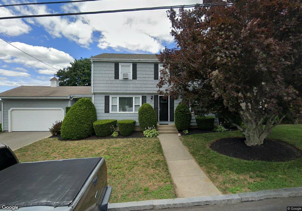
26 Unity Ave East Providence, RI 02914
Outer East Bay NeighborhoodEstimated Value: $440,000 - $562,000
4
Beds
2
Baths
1,919
Sq Ft
$261/Sq Ft
Est. Value
About This Home
This home is located at 26 Unity Ave, East Providence, RI 02914 and is currently estimated at $500,026, approximately $260 per square foot. 26 Unity Ave is a home located in Providence County with nearby schools including East Providence High School, The Gordon School, and St Mary Academy-Bay View.
Ownership History
Date
Name
Owned For
Owner Type
Purchase Details
Closed on
Aug 8, 2017
Sold by
Andrade Marie C
Bought by
Morgado Tania and Andrade Sean
Current Estimated Value
Purchase Details
Closed on
May 29, 2015
Sold by
Antonio & Aida Realty Ll
Bought by
Andrade Marie C
Purchase Details
Closed on
Jul 24, 2012
Sold by
Unity Ave Realty Llc
Bought by
Antonio & Ida Realty Llc
Purchase Details
Closed on
Apr 19, 2005
Sold by
Norte Antonio
Bought by
Unity Avenue Realty Ll
Create a Home Valuation Report for This Property
The Home Valuation Report is an in-depth analysis detailing your home's value as well as a comparison with similar homes in the area
Home Values in the Area
Average Home Value in this Area
Purchase History
| Date | Buyer | Sale Price | Title Company |
|---|---|---|---|
| Morgado Tania | -- | -- | |
| Morgado Tania | -- | -- | |
| Andrade Marie C | $220,000 | -- | |
| Andrade Marie C | $220,000 | -- | |
| Antonio & Ida Realty Llc | -- | -- | |
| Antonio & Ida Realty Llc | -- | -- | |
| Unity Avenue Realty Ll | $270,000 | -- | |
| Unity Avenue Realty Ll | $270,000 | -- |
Source: Public Records
Tax History Compared to Growth
Tax History
| Year | Tax Paid | Tax Assessment Tax Assessment Total Assessment is a certain percentage of the fair market value that is determined by local assessors to be the total taxable value of land and additions on the property. | Land | Improvement |
|---|---|---|---|---|
| 2025 | $6,603 | $505,200 | $117,700 | $387,500 |
| 2024 | $5,612 | $366,100 | $98,100 | $268,000 |
| 2023 | $5,404 | $366,100 | $98,100 | $268,000 |
| 2022 | $5,244 | $239,900 | $56,200 | $183,700 |
| 2021 | $5,158 | $239,900 | $56,200 | $183,700 |
| 2020 | $4,940 | $239,900 | $56,200 | $183,700 |
| 2019 | $4,803 | $239,900 | $56,200 | $183,700 |
| 2018 | $4,597 | $200,900 | $49,200 | $151,700 |
| 2017 | $4,494 | $200,900 | $49,200 | $151,700 |
| 2016 | $4,472 | $200,900 | $49,200 | $151,700 |
| 2015 | $4,271 | $186,100 | $50,700 | $135,400 |
| 2014 | -- | $186,100 | $50,700 | $135,400 |
Source: Public Records
Map
Nearby Homes
- 180 Grassmere Ave
- 74 Brookhaven Dr
- 36 Gerald St
- 25 Ide Ave
- 87 Vincent Ave
- 53 Wampanoag Trail
- 10 Fairfield Ave
- 75 Belmont Ave
- 1463 S Broadway
- 26 Mayflower St
- 132 S Rose St
- 740 Veterans Memorial Pkwy
- 17 Brown St Unit 19
- 50 Kettle Point Ave Unit 50
- 400 Juniper St Unit A
- 400 Juniper St Unit B
- 400 Juniper St Unit C
- 59 Merritt Rd
- 21 Donnelly St
- 60 Fraser St