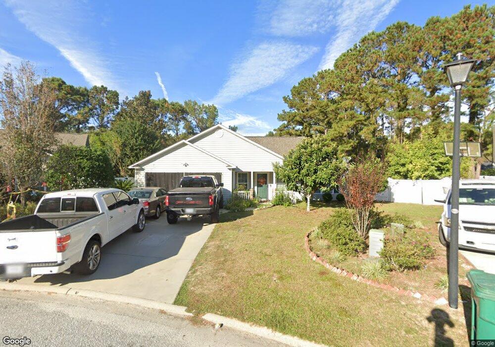
26 W Morningside Dr Bluffton, SC 29910
Estimated Value: $311,000 - $354,258
3
Beds
2
Baths
1,292
Sq Ft
$255/Sq Ft
Est. Value
About This Home
This home is located at 26 W Morningside Dr, Bluffton, SC 29910 and is currently estimated at $330,065, approximately $255 per square foot. 26 W Morningside Dr is a home located in Beaufort County with nearby schools including River Ridge Academy, May River High School, and Cross Schools.
Ownership History
Date
Name
Owned For
Owner Type
Purchase Details
Closed on
Jul 15, 2025
Sold by
Ta Annie N
Bought by
Ta Annie N and Ta Lien Ai
Current Estimated Value
Purchase Details
Closed on
Feb 24, 2012
Sold by
Taylor James F
Bought by
Ta Annie N
Purchase Details
Closed on
Jun 18, 2004
Sold by
Craftbuilt Homes Llc
Bought by
Taylor James F
Home Financials for this Owner
Home Financials are based on the most recent Mortgage that was taken out on this home.
Original Mortgage
$143,880
Interest Rate
6%
Mortgage Type
Purchase Money Mortgage
Create a Home Valuation Report for This Property
The Home Valuation Report is an in-depth analysis detailing your home's value as well as a comparison with similar homes in the area
Purchase History
| Date | Buyer | Sale Price | Title Company |
|---|---|---|---|
| Ta Annie N | -- | None Listed On Document | |
| Ta Annie N | -- | None Listed On Document | |
| Ta Annie N | $91,000 | -- | |
| Taylor James F | $151,453 | -- |
Source: Public Records
Mortgage History
| Date | Status | Borrower | Loan Amount |
|---|---|---|---|
| Previous Owner | Taylor James F | $143,880 |
Source: Public Records
Tax History
| Year | Tax Paid | Tax Assessment Tax Assessment Total Assessment is a certain percentage of the fair market value that is determined by local assessors to be the total taxable value of land and additions on the property. | Land | Improvement |
|---|---|---|---|---|
| 2025 | $2,357 | $9,110 | $0 | $0 |
| 2024 | $2,357 | $9,110 | $0 | $0 |
| 2023 | $2,319 | $9,110 | $0 | $0 |
| 2022 | $2,110 | $7,920 | $0 | $0 |
| 2021 | $2,067 | $7,920 | $0 | $0 |
| 2020 | $2,002 | $7,920 | $0 | $0 |
| 2019 | $1,975 | $7,920 | $0 | $0 |
| 2018 | $1,866 | $7,920 | $0 | $0 |
| 2017 | $1,702 | $6,890 | $0 | $0 |
| 2016 | $1,673 | $6,890 | $0 | $0 |
| 2014 | $392 | $6,890 | $0 | $0 |
Source: Public Records
Map
Nearby Homes
- 7 W Morningside Dr
- 306 Cold Creek Pass
- 5 Woodland Ct
- 510 Cypress Cove
- 19 Heartstone Cir
- 214 Stoney Crossing
- 4 Shelburne St
- 155 South St
- 493 Live Oak Walk
- 474 Live Oak Walk
- 230 West Square
- 229 Stoney Crossing
- 20 Grande Oaks Dr
- 59 Heartstone Cir
- 404 East Ave
- 307 East Ave
- 61 Heartstone Cir
- 113 Cross Rd
- 79 Fording Ct
- 529 South Square
- 28 W Morningside Dr
- 32 Sunny Glen Dr
- 22 W Morningside Dr
- 34 Sunny Glen Dr
- 30 W Morningside Dr
- 36 Sunny Glen Dr
- 20 W Morningside Dr
- 30 Sunny Glen Dr
- 32 W Morningside Dr
- 25 W Morningside Dr
- 38 Sunny Glen Dr
- 1 Arbormeade Cir
- 18 W Morningside Dr
- 23 W Morningside Dr
- 34 W Morningside Dr
- 2 Arbormeade Cir
- 25 Sunny Glen Dr
- 28 Sunny Glen Dr
- 40 Sunny Glen Dr
- 21 W Morningside Dr
Your Personal Tour Guide
Ask me questions while you tour the home.