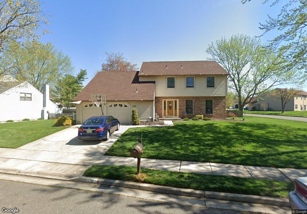
26 W Oleander Dr Mount Laurel, NJ 08054
Estimated Value: $452,000 - $556,159
--
Bed
--
Bath
2,508
Sq Ft
$205/Sq Ft
Est. Value
About This Home
This home is located at 26 W Oleander Dr, Mount Laurel, NJ 08054 and is currently estimated at $514,290, approximately $205 per square foot. 26 W Oleander Dr is a home located in Burlington County with nearby schools including Parkway Elementary School, T.E. Harrington Middle School, and Mount Laurel Hartford School.
Ownership History
Date
Name
Owned For
Owner Type
Purchase Details
Closed on
Sep 27, 2002
Sold by
King Robert H and King Lydia G
Bought by
Seedes Thomas J and Seedes Amy L
Current Estimated Value
Home Financials for this Owner
Home Financials are based on the most recent Mortgage that was taken out on this home.
Original Mortgage
$183,900
Outstanding Balance
$77,324
Interest Rate
6.2%
Mortgage Type
Stand Alone First
Estimated Equity
$436,966
Create a Home Valuation Report for This Property
The Home Valuation Report is an in-depth analysis detailing your home's value as well as a comparison with similar homes in the area
Home Values in the Area
Average Home Value in this Area
Purchase History
| Date | Buyer | Sale Price | Title Company |
|---|---|---|---|
| Seedes Thomas J | $209,901 | Weichert Title | |
| -- | $209,900 | -- |
Source: Public Records
Mortgage History
| Date | Status | Borrower | Loan Amount |
|---|---|---|---|
| Open | -- | $183,900 |
Source: Public Records
Tax History Compared to Growth
Tax History
| Year | Tax Paid | Tax Assessment Tax Assessment Total Assessment is a certain percentage of the fair market value that is determined by local assessors to be the total taxable value of land and additions on the property. | Land | Improvement |
|---|---|---|---|---|
| 2025 | $8,486 | $268,800 | $80,300 | $188,500 |
| 2024 | $8,166 | $268,800 | $80,300 | $188,500 |
| 2023 | $8,166 | $268,800 | $80,300 | $188,500 |
| 2022 | $8,139 | $268,800 | $80,300 | $188,500 |
| 2021 | $7,986 | $268,800 | $80,300 | $188,500 |
| 2020 | $7,830 | $268,800 | $80,300 | $188,500 |
| 2019 | $7,750 | $268,800 | $80,300 | $188,500 |
| 2018 | $7,690 | $268,800 | $80,300 | $188,500 |
| 2017 | $7,491 | $268,800 | $80,300 | $188,500 |
| 2016 | $7,379 | $268,800 | $80,300 | $188,500 |
| 2015 | $7,293 | $268,800 | $80,300 | $188,500 |
| 2014 | $7,220 | $268,800 | $80,300 | $188,500 |
Source: Public Records
Map
Nearby Homes
- 74 Poppy Ct
- 23 E Oleander Dr
- 70B Sumac Ct Unit 70B
- 60B Sumac Ct
- 13 Village Ct Unit 13
- 130B Birchfield Ct Unit 130B
- 11 E Berwin Way
- 31 Quince Ct
- 123A Birchfield Ct Unit 123A
- 5 Keswick Ct
- 124 W Berwin Way
- 12 B E Daisy Ln
- 10 Gretna Ct
- 1 Adner Dr
- 6 E Azalea Ln
- 1201A Ginger Ct
- 1302 Ginger Dr
- 907A Oliphant Ln Unit 907A
- 223 Saint David Dr
- 16 W Azalea Ln
- 39 W Peachtree Ct
- 27 W Oleander Dr
- 24 Oleander Ct
- 38 W Peachtree Ct
- 73 E Peachtree Ct
- 25 W Oleander Dr
- 41 E Oleander Dr
- 28 W Oleander Dr
- 72 E Peachtree Ct
- 42 E Oleander Dr
- 23 Oleander Ct
- 14 Oleander Ct
- 37 W Peachtree Ct
- 43 E Oleander Dr
- 38 E Oleander Dr
- 29 W Oleander Dr
- 44 E Oleander Dr
- 22 Oleander Ct
- 37 E Oleander Dr
- 45 E Oleander Dr