26 W Woods Ct Dahlonega, GA 30533
Estimated Value: $440,485 - $554,000
3
Beds
3
Baths
2,380
Sq Ft
$204/Sq Ft
Est. Value
About This Home
This home is located at 26 W Woods Ct, Dahlonega, GA 30533 and is currently estimated at $486,621, approximately $204 per square foot. 26 W Woods Ct is a home located in Lumpkin County with nearby schools including Lumpkin County High School.
Ownership History
Date
Name
Owned For
Owner Type
Purchase Details
Closed on
Jun 19, 2020
Sold by
Grizzle Robert Vernon
Bought by
Ramsey Michael J and Ramsey Rebecca
Current Estimated Value
Home Financials for this Owner
Home Financials are based on the most recent Mortgage that was taken out on this home.
Original Mortgage
$231,900
Outstanding Balance
$205,562
Interest Rate
3.2%
Mortgage Type
New Conventional
Estimated Equity
$281,059
Purchase Details
Closed on
Dec 22, 2005
Sold by
Grizzle Robert Vernon
Bought by
Grizzle Robert Vernon
Create a Home Valuation Report for This Property
The Home Valuation Report is an in-depth analysis detailing your home's value as well as a comparison with similar homes in the area
Home Values in the Area
Average Home Value in this Area
Purchase History
| Date | Buyer | Sale Price | Title Company |
|---|---|---|---|
| Ramsey Michael J | $289,900 | -- | |
| Grizzle Robert Vernon | $1,007,100 | -- |
Source: Public Records
Mortgage History
| Date | Status | Borrower | Loan Amount |
|---|---|---|---|
| Open | Ramsey Michael J | $231,900 |
Source: Public Records
Tax History Compared to Growth
Tax History
| Year | Tax Paid | Tax Assessment Tax Assessment Total Assessment is a certain percentage of the fair market value that is determined by local assessors to be the total taxable value of land and additions on the property. | Land | Improvement |
|---|---|---|---|---|
| 2024 | $1,314 | $172,764 | $10,000 | $162,764 |
| 2023 | $916 | $162,007 | $10,000 | $152,007 |
| 2022 | $822 | $136,852 | $10,000 | $126,852 |
| 2021 | $2,827 | $112,440 | $10,000 | $102,440 |
| 2020 | $119 | $4,500 | $4,500 | $0 |
| 2019 | $120 | $4,500 | $4,500 | $0 |
| 2018 | $128 | $4,500 | $4,500 | $0 |
| 2017 | $130 | $4,500 | $4,500 | $0 |
| 2016 | $135 | $4,500 | $4,500 | $0 |
| 2015 | $119 | $4,500 | $4,500 | $0 |
| 2014 | $119 | $4,500 | $4,500 | $0 |
| 2013 | -- | $4,500 | $4,500 | $0 |
Source: Public Records
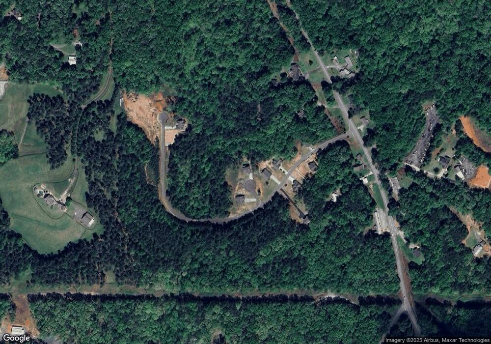
Map
Nearby Homes
- 26 W Woods Ct Unit 27
- 400 W Woods Dr
- 105 W Woods Dr
- 115 W Woods Dr
- 98 W Woods Dr
- 105 W Woods Dr
- 91 English Ct
- 62 W Woods Dr
- 26 W Woods Ct
- 98 W Woods Ct
- 87 Givens Dr
- 100 Givens Dr
- 91 Givens Dr
- 493 Frank Christian Rd
- 33 Hemlock Trail
- 729 Frank Christian Rd
- 160 Gentry Hollow
- 86 Hemlock Trail
- 86 Hemlock Trail
- 140 Gentry Hollow