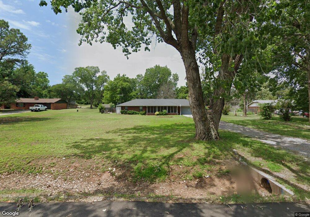
26 Walnut Dr Ninnekah, OK 73067
Estimated Value: $202,708 - $283,000
3
Beds
2
Baths
1,778
Sq Ft
$138/Sq Ft
Est. Value
About This Home
This home is located at 26 Walnut Dr, Ninnekah, OK 73067 and is currently estimated at $245,427, approximately $138 per square foot. 26 Walnut Dr is a home located in Grady County with nearby schools including Ninnekah Elementary School, Ninnekah Middle School, and Ninnekah High School.
Ownership History
Date
Name
Owned For
Owner Type
Purchase Details
Closed on
Jul 15, 2020
Sold by
Allen Alice F
Bought by
Allen Glenn E
Current Estimated Value
Home Financials for this Owner
Home Financials are based on the most recent Mortgage that was taken out on this home.
Original Mortgage
$154,188
Outstanding Balance
$136,209
Interest Rate
2.9%
Mortgage Type
VA
Estimated Equity
$109,218
Purchase Details
Closed on
Aug 9, 2013
Sold by
Dyer Joe and Dyer Mary
Bought by
Allen Glenn E and Allen Alice F
Home Financials for this Owner
Home Financials are based on the most recent Mortgage that was taken out on this home.
Original Mortgage
$165,000
Interest Rate
4.34%
Mortgage Type
VA
Purchase Details
Closed on
Nov 7, 2006
Sold by
Messinger Ron and Messinger June
Bought by
Dyer Joe and Dyer Mary
Home Financials for this Owner
Home Financials are based on the most recent Mortgage that was taken out on this home.
Original Mortgage
$135,000
Interest Rate
6.26%
Mortgage Type
New Conventional
Create a Home Valuation Report for This Property
The Home Valuation Report is an in-depth analysis detailing your home's value as well as a comparison with similar homes in the area
Home Values in the Area
Average Home Value in this Area
Purchase History
| Date | Buyer | Sale Price | Title Company |
|---|---|---|---|
| Allen Glenn E | -- | Nations Title Of Okc | |
| Allen Glenn E | $165,000 | None Available | |
| Dyer Joe | $127,063 | None Available |
Source: Public Records
Mortgage History
| Date | Status | Borrower | Loan Amount |
|---|---|---|---|
| Open | Allen Glenn E | $154,188 | |
| Closed | Allen Glenn E | $165,000 | |
| Previous Owner | Dyer Joe | $135,000 |
Source: Public Records
Tax History Compared to Growth
Tax History
| Year | Tax Paid | Tax Assessment Tax Assessment Total Assessment is a certain percentage of the fair market value that is determined by local assessors to be the total taxable value of land and additions on the property. | Land | Improvement |
|---|---|---|---|---|
| 2024 | $1,956 | $20,175 | $2,112 | $18,063 |
| 2023 | $1,956 | $19,587 | $2,321 | $17,266 |
| 2022 | $1,956 | $18,655 | $1,936 | $16,719 |
| 2021 | $1,977 | $18,855 | $1,936 | $16,919 |
| 2020 | $2,068 | $19,242 | $1,936 | $17,306 |
| 2019 | $2,039 | $18,971 | $1,936 | $17,035 |
| 2018 | $0 | $18,971 | $1,936 | $17,035 |
| 2017 | $1,964 | $18,925 | $1,936 | $16,989 |
| 2016 | $2,112 | $19,367 | $1,936 | $17,431 |
| 2015 | $1,706 | $18,645 | $1,936 | $16,709 |
| 2014 | $1,706 | $18,150 | $2,420 | $15,730 |
Source: Public Records
Map
Nearby Homes
- 0 S Waterfront Dr
- 272 W Water Front Dr
- 212 N Old Highway 81
- 13700 S Harvard Ave
- 0 0000-21-06n-07w-1-024-00 Unit 1174503
- 1210 Walnut St
- 645 Us Highway 277
- 416 Quail Rd
- 3595 U S 81
- 659 Quail Rd
- 498 Center Ave
- 373 Center Ave
- 541 County Road 1428
- 108 Sterling Dr
- 110 Sterling Dr
- 112 Sterling Dr
- 116 Sterling Dr
- 122 Sterling Dr
- 3512 Scissortail Ln
- 3513 Scissortail Ln