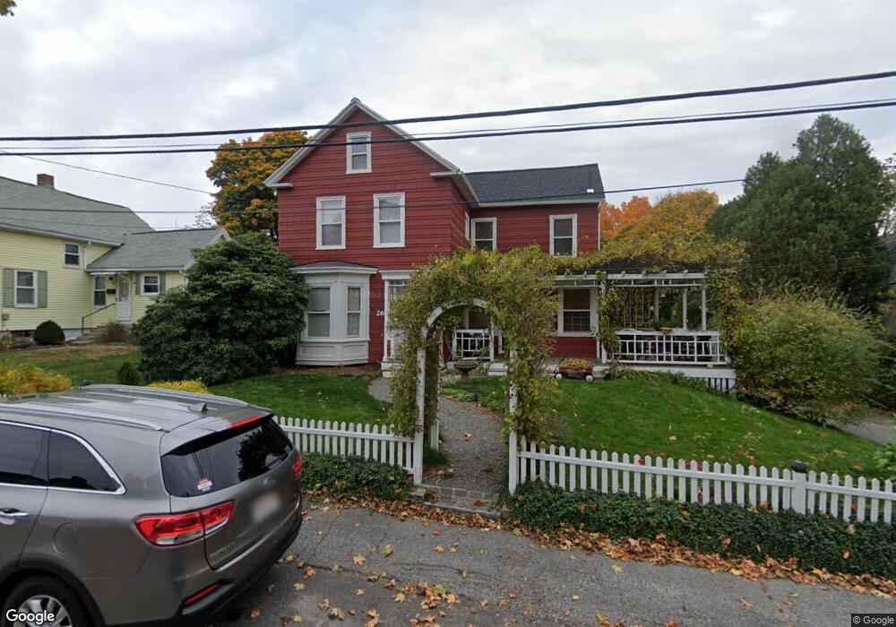
26 Walnut St Unit A Marlborough, MA 01752
Estimated Value: $451,000 - $502,000
3
Beds
2
Baths
1,212
Sq Ft
$396/Sq Ft
Est. Value
About This Home
This home is located at 26 Walnut St Unit A, Marlborough, MA 01752 and is currently estimated at $479,917, approximately $395 per square foot. 26 Walnut St Unit A is a home located in Middlesex County with nearby schools including Marlborough High School, New Covenant Christian School, and Glenhaven Academy - JRI School.
Ownership History
Date
Name
Owned For
Owner Type
Purchase Details
Closed on
Apr 2, 2001
Sold by
Dearborn Pamela M
Bought by
Theis Brian R
Current Estimated Value
Home Financials for this Owner
Home Financials are based on the most recent Mortgage that was taken out on this home.
Original Mortgage
$141,500
Outstanding Balance
$51,929
Interest Rate
6.96%
Mortgage Type
Purchase Money Mortgage
Estimated Equity
$427,988
Purchase Details
Closed on
Nov 10, 1997
Sold by
Dearborn Douglas B
Bought by
Dearborn Pamela M
Purchase Details
Closed on
Aug 17, 1989
Sold by
Radivonyk Judith A
Bought by
Dearborn Douglas B
Home Financials for this Owner
Home Financials are based on the most recent Mortgage that was taken out on this home.
Original Mortgage
$103,400
Interest Rate
9.93%
Mortgage Type
Purchase Money Mortgage
Create a Home Valuation Report for This Property
The Home Valuation Report is an in-depth analysis detailing your home's value as well as a comparison with similar homes in the area
Home Values in the Area
Average Home Value in this Area
Purchase History
| Date | Buyer | Sale Price | Title Company |
|---|---|---|---|
| Theis Brian R | $148,500 | -- | |
| Dearborn Pamela M | $103,400 | -- | |
| Dearborn Pamela M | $103,400 | -- | |
| Dearborn Douglas B | $129,300 | -- | |
| Dearborn Douglas B | $129,300 | -- |
Source: Public Records
Mortgage History
| Date | Status | Borrower | Loan Amount |
|---|---|---|---|
| Open | Dearborn Douglas B | $141,500 | |
| Previous Owner | Dearborn Douglas B | $103,400 |
Source: Public Records
Tax History Compared to Growth
Tax History
| Year | Tax Paid | Tax Assessment Tax Assessment Total Assessment is a certain percentage of the fair market value that is determined by local assessors to be the total taxable value of land and additions on the property. | Land | Improvement |
|---|---|---|---|---|
| 2025 | $3,882 | $393,700 | $191,300 | $202,400 |
| 2024 | $3,736 | $364,800 | $173,900 | $190,900 |
| 2023 | $3,724 | $322,700 | $143,100 | $179,600 |
| 2022 | $3,717 | $283,300 | $136,300 | $147,000 |
| 2021 | $3,538 | $256,400 | $113,600 | $142,800 |
| 2020 | $3,470 | $244,700 | $108,200 | $136,500 |
| 2019 | $3,382 | $240,400 | $106,000 | $134,400 |
| 2018 | $3,033 | $207,300 | $88,800 | $118,500 |
| 2017 | $2,839 | $185,300 | $88,700 | $96,600 |
| 2016 | $2,752 | $179,400 | $88,700 | $90,700 |
| 2015 | $3,026 | $192,000 | $92,500 | $99,500 |
Source: Public Records
Map
Nearby Homes
- 25 Walnut St
- 16 Clinton St
- 24 Clinton St
- 38 Sawin St
- Lot 1 Quinn Rd
- 75 Warren Ave
- 53 Hillcrest Rd
- 41 Kane Dr
- 97 Cook Ln
- 37 Hosmer St Unit 10
- 37 Hosmer St Unit 20
- 96 Cook Ln
- 57 Marlton Dr
- 24 Bolton St
- 117 Hosmer St
- 139 Lincoln St
- 164 Stevens St
- 18 Brimsmead St
- 110 Boston Post Rd E Unit 104
- 211 Stevens St
- 26 Walnut St
- 28a Walnut St
- 28 Walnut St Unit A
- 22 Walnut St
- 32 Walnut St
- 211 E Main St Unit 1, 4
- 211 E Main St
- 211 E Main St Unit 1
- 36 Walnut St
- 209 E Main St
- 12 Walnut St
- 30 Vine St
- 45 Curtis Ave Unit F
- 45 Curtis Ave Unit E
- 45 Curtis Ave Unit D
- 45 Curtis Ave Unit C
- 45 Curtis Ave Unit B
- 45 Curtis Ave Unit A
- 45 Curtis Ave
- 45 Curtis Ave Unit 45C