26 Wayland Ave Oak Bluffs, MA 02557
Oak Bluffs NeighborhoodEstimated Value: $1,780,000 - $2,110,000
3
Beds
2
Baths
6,534
Sq Ft
$295/Sq Ft
Est. Value
About This Home
This home is located at 26 Wayland Ave, Oak Bluffs, MA 02557 and is currently estimated at $1,926,570, approximately $294 per square foot. 26 Wayland Ave is a home with nearby schools including Oak Bluffs Elementary School, Martha's Vineyard Regional High School, and Vineyard Montessori School.
Ownership History
Date
Name
Owned For
Owner Type
Purchase Details
Closed on
Sep 14, 2009
Sold by
Holland-Kocher Carol E and Holland Jacqueline
Bought by
Cornell Lois Dehls and Cornell Paul Lincoln
Current Estimated Value
Home Financials for this Owner
Home Financials are based on the most recent Mortgage that was taken out on this home.
Original Mortgage
$408,750
Outstanding Balance
$269,620
Interest Rate
5.36%
Mortgage Type
Purchase Money Mortgage
Estimated Equity
$1,656,950
Create a Home Valuation Report for This Property
The Home Valuation Report is an in-depth analysis detailing your home's value as well as a comparison with similar homes in the area
Home Values in the Area
Average Home Value in this Area
Purchase History
| Date | Buyer | Sale Price | Title Company |
|---|---|---|---|
| Cornell Lois Dehls | $545,000 | -- |
Source: Public Records
Mortgage History
| Date | Status | Borrower | Loan Amount |
|---|---|---|---|
| Open | Cornell Lois Dehls | $408,750 |
Source: Public Records
Tax History Compared to Growth
Tax History
| Year | Tax Paid | Tax Assessment Tax Assessment Total Assessment is a certain percentage of the fair market value that is determined by local assessors to be the total taxable value of land and additions on the property. | Land | Improvement |
|---|---|---|---|---|
| 2025 | $9,064 | $1,794,900 | $609,900 | $1,185,000 |
| 2024 | $8,578 | $1,640,200 | $511,700 | $1,128,500 |
| 2023 | $7,448 | $1,410,700 | $497,200 | $913,500 |
| 2022 | $6,966 | $1,025,900 | $358,900 | $667,000 |
| 2021 | $6,560 | $890,100 | $340,500 | $549,600 |
| 2020 | $4,869 | $654,400 | $324,300 | $330,100 |
| 2019 | $4,832 | $628,400 | $298,300 | $330,100 |
| 2018 | $2,502 | $319,500 | $279,400 | $40,100 |
| 2017 | $3,708 | $455,000 | $264,800 | $190,200 |
| 2016 | $3,569 | $440,100 | $273,000 | $167,100 |
| 2015 | $3,263 | $409,900 | $253,500 | $156,400 |
| 2014 | $3,260 | $417,400 | $253,200 | $164,200 |
Source: Public Records
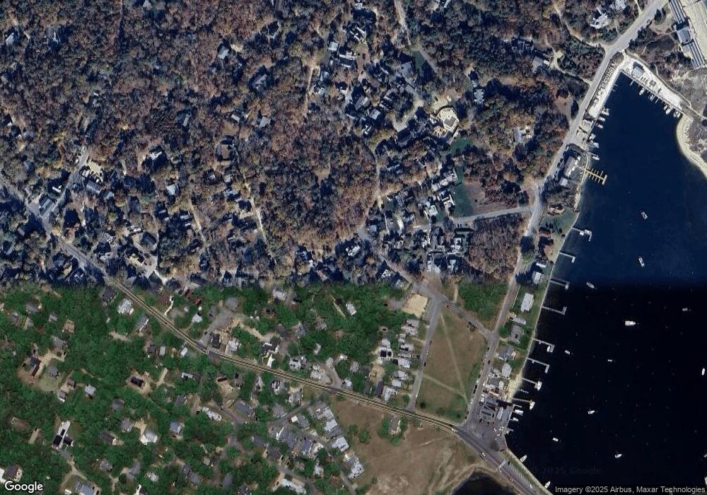
Map
Nearby Homes
- 23 Laurel Ave
- 12 & 14 Maple Ave
- 17 John Wesley Ave
- 47 E Chop Dr Unit 4
- 47 E Chop Dr Unit 2
- 47 E Chop Dr Unit 3
- 47 E Chop Dr Unit 1
- 47 E Chop Dr
- 47 E Chop Dr Unit 5
- 47 E East Chop Dr Unit 5
- 9 Brunswick Ave
- 25 Hampson Ave
- 26 Hampson Ave
- 10 Siloam Ave
- 23 Circuit Avenue Extension
- 24 School St
- 2 Lincoln Ave
- 13 Wayland Ave
- 25 Wayland Ave
- 15 Wayland Ave
- 20 Wayland Ave
- 20 Wayland Ave
- 19 Wayland Ave
- 25 Plymouth Ave
- 15 Plymouth Ave
- 23 Plymouth Ave Unit Avenue
- 23 Plymouth Ave
- 24 Plymouth Ave
- 16 Plymouth Ave
- 14 Plymouth Ave
- 24 Laurel Ave
- 23 Plymouth Ave
- 24 Plymouth Ave Ob538
- 5 Moss Ave
- 18 Wayland Ave
- 15 Moss Ave
- 17 Wayland Ave