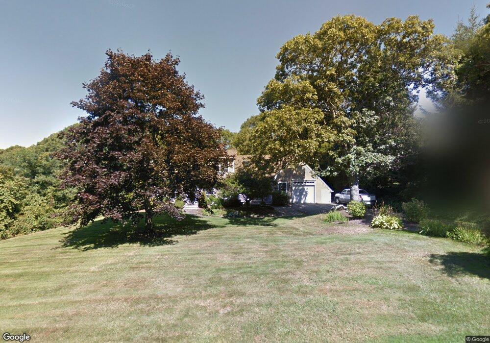
26 Wayside Ln West Barnstable, MA 02668
West Barnstable NeighborhoodEstimated Value: $772,000 - $983,000
3
Beds
3
Baths
2,296
Sq Ft
$397/Sq Ft
Est. Value
About This Home
This home is located at 26 Wayside Ln, West Barnstable, MA 02668 and is currently estimated at $910,422, approximately $396 per square foot. 26 Wayside Ln is a home located in Barnstable County with nearby schools including West Barnstable Elementary School, Barnstable United Elementary School, and Barnstable Intermediate School.
Ownership History
Date
Name
Owned For
Owner Type
Purchase Details
Closed on
Dec 11, 2006
Sold by
Meagher Nancy F and Meagher William A
Bought by
Meagher Nancy F
Current Estimated Value
Home Financials for this Owner
Home Financials are based on the most recent Mortgage that was taken out on this home.
Original Mortgage
$288,000
Outstanding Balance
$173,046
Interest Rate
6.4%
Mortgage Type
Purchase Money Mortgage
Estimated Equity
$737,376
Create a Home Valuation Report for This Property
The Home Valuation Report is an in-depth analysis detailing your home's value as well as a comparison with similar homes in the area
Home Values in the Area
Average Home Value in this Area
Purchase History
| Date | Buyer | Sale Price | Title Company |
|---|---|---|---|
| Meagher Nancy F | -- | -- |
Source: Public Records
Mortgage History
| Date | Status | Borrower | Loan Amount |
|---|---|---|---|
| Open | Meagher Nancy F | $288,000 |
Source: Public Records
Tax History
| Year | Tax Paid | Tax Assessment Tax Assessment Total Assessment is a certain percentage of the fair market value that is determined by local assessors to be the total taxable value of land and additions on the property. | Land | Improvement |
|---|---|---|---|---|
| 2025 | $8,368 | $895,900 | $260,700 | $635,200 |
| 2024 | $7,388 | $861,100 | $260,700 | $600,400 |
| 2023 | $7,070 | $776,100 | $238,200 | $537,900 |
| 2022 | $6,863 | $617,700 | $167,200 | $450,500 |
| 2021 | $6,484 | $553,200 | $169,800 | $383,400 |
| 2020 | $6,245 | $515,300 | $174,900 | $340,400 |
| 2019 | $6,034 | $491,400 | $185,500 | $305,900 |
| 2018 | $5,940 | $479,400 | $216,100 | $263,300 |
| 2017 | $5,714 | $466,800 | $216,100 | $250,700 |
| 2016 | $5,591 | $466,300 | $215,600 | $250,700 |
| 2015 | $5,400 | $451,500 | $207,000 | $244,500 |
Source: Public Records
Map
Nearby Homes
- 45 Wayside Ln
- 26 Carlson Ln
- 6 Harpers Hollow
- 46 Service Rd
- 53 Chase Rd
- 3 Mulberry Cir
- 2 Jillson Way
- 2 Maple Swamp Rd
- 2 Maple Swamp Rd
- 159 Great Hill Rd
- 7 Maxwell Ln
- 27 White Cap Ln
- 15 Maxwell Ln
- 46 Carleton Dr
- 29 Fish House Rd
- 566 Route 6a
- 84 White Birch Way
- 65 Wing Blvd W
- 0 Captain Kidd Rd
- 282 Parker Rd
- 42 Wayside Ln
- 42A Wayside Ln
- 42B Wayside Ln
- 42 Wayside Extension Ln
- 10 Wayside Ln
- 29 Wayside Ln
- 80 Crocker Rd
- 0 Wayside Ln
- 41 Wayside Ln
- 104 Crocker Rd
- 120 Crocker Rd
- 60 Crocker Rd
- 99 Crocker Rd
- 140 Crocker Rd
- 187 Kettle Hole Rd
- 42 Crocker Rd
- 57 Crocker Rd
- 179 Percival Dr
- 173 Percival Dr
- 196 Kettle Hole Rd
Your Personal Tour Guide
Ask me questions while you tour the home.