26 Westbrook Dr O Fallon, MO 63366
O'Fallon AreaEstimated Value: $299,000 - $325,000
About This Home
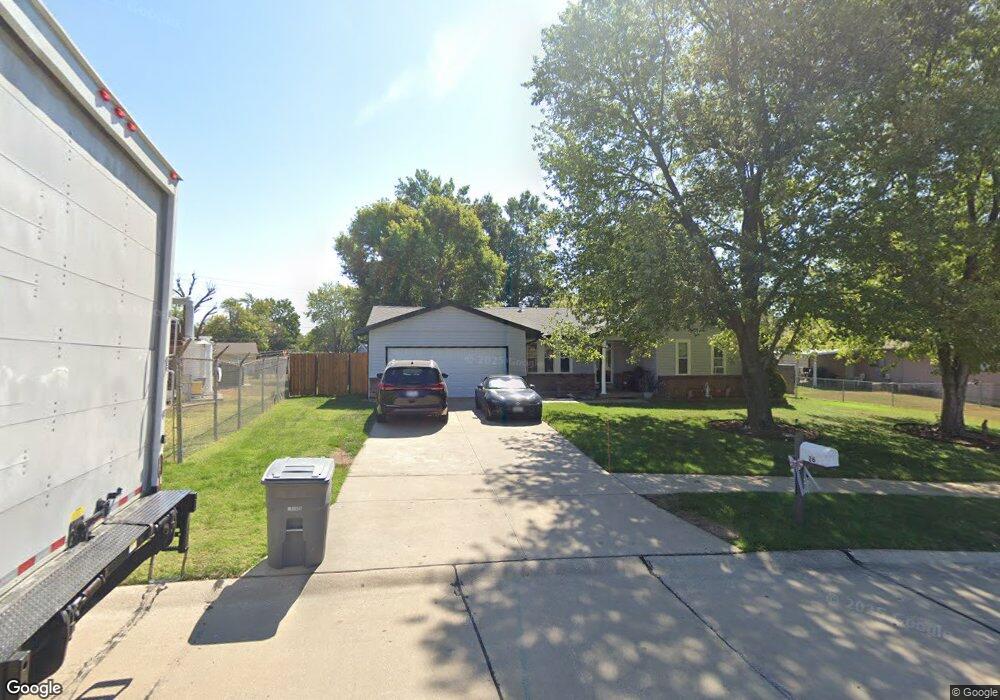
This home is located at 26 Westbrook Dr, O Fallon, MO 63366 and is currently estimated at $307,170, approximately $235 per square foot. 26 Westbrook Dr is a home located in St. Charles County with nearby schools including Joseph L. Mudd Elementary School, Forest Park Elementary School, and Fort Zumwalt North Middle School.
Ownership History
We collect this data history from publicly available records. To have your information removed, we recommend requesting removal directly through your county’s website.
Purchase Details
Home Financials for this Owner
Home Financials are based on the most recent Mortgage that was taken out on this home.Purchase Details
Home Values in the Area
Average Home Value in this Area
Purchase History
We collect this data history from publicly available records. To have your information removed, we recommend requesting removal directly through your county’s website.
| Date | Buyer | Sale Price | Title Company |
|---|---|---|---|
| $135,900 | Phoenix Title | ||
| -- | -- | ||
| -- | -- |
Mortgage History
We collect this data history from publicly available records. To have your information removed, we recommend requesting removal directly through your county’s website.
| Date | Status | Borrower | Loan Amount |
|---|---|---|---|
| Open | $104,200 | ||
| Closed | $10,000 | ||
| Closed | $129,158 |
Tax History
We collect this data history from publicly available records. To have your information removed, we recommend requesting removal directly through your county’s website.
| Year | Tax Paid | Tax Assessment Tax Assessment Total Assessment is a certain percentage of the fair market value that is determined by local assessors to be the total taxable value of land and additions on the property. | Land | Improvement |
|---|---|---|---|---|
| 2025 | $2,809 | $46,217 | ||
| 2023 | $2,810 | $42,276 | $0 | $0 |
| 2022 | $2,361 | $32,973 | $0 | $0 |
| 2021 | $2,362 | $32,973 | $0 | $0 |
| 2020 | $2,027 | $27,398 | $0 | $0 |
| 2019 | $2,031 | $27,398 | $0 | $0 |
| 2018 | $2,083 | $26,847 | $0 | $0 |
| 2017 | $2,049 | $26,847 | $0 | $0 |
| 2016 | $1,758 | $22,926 | $0 | $0 |
| 2015 | $1,634 | $22,926 | $0 | $0 |
| 2014 | $1,601 | $22,101 | $0 | $0 |
Map
- 0 Montbrook Dr
- 414 Westbrook Dr
- 735 Montbrook Dr
- 727 Cordes St
- 711 Montbrook Dr
- 415 Montbrook Dr
- 235 Surrey Ct
- 422 Sunset Ln
- 506 Cordes St
- 9 Fort Zumwalt Dr
- 21 Fort Zumwalt Dr
- 3 Dixons Ct Unit G
- 13 Dixons Ct Unit B
- 110 Sunset Villa Ct
- 9 Southern Hills Ct
- 262 Sunset Villa Ln
- 14 Thoreau Ct
- 906 Daffodil Ridge Dr
- 11 Thoreau Ct
- 202 Sword Lily Dr
- 511 Westridge Dr
- 507 Westridge Dr
- 603 Westridge Dr
- 30 Brookside Ct
- 503 Westridge Dr
- 510 Westridge Dr
- 28 Brookside Ct
- 607 Westridge Dr
- 506 Westridge Dr
- 602 Westridge Dr
- 11acres Montbrook Dr
- 2 Bblt-Prinz X-Brookside
- 2 Bblt-Inness X-Brookside
- 2 Bblt-Ryan X-Brookside
- 2 Bblt-Jasper X-Brookside
- 2 Bblt-Wallis X-Brookside
- 2 Bblt-Newcastle X-Brookside
- 2 Bblt-Linley X-Brookside
- 2 Bblt-Dover X-Brookside
- 0NEW Build Hemingway@brookside
Ask me questions while you tour the home.