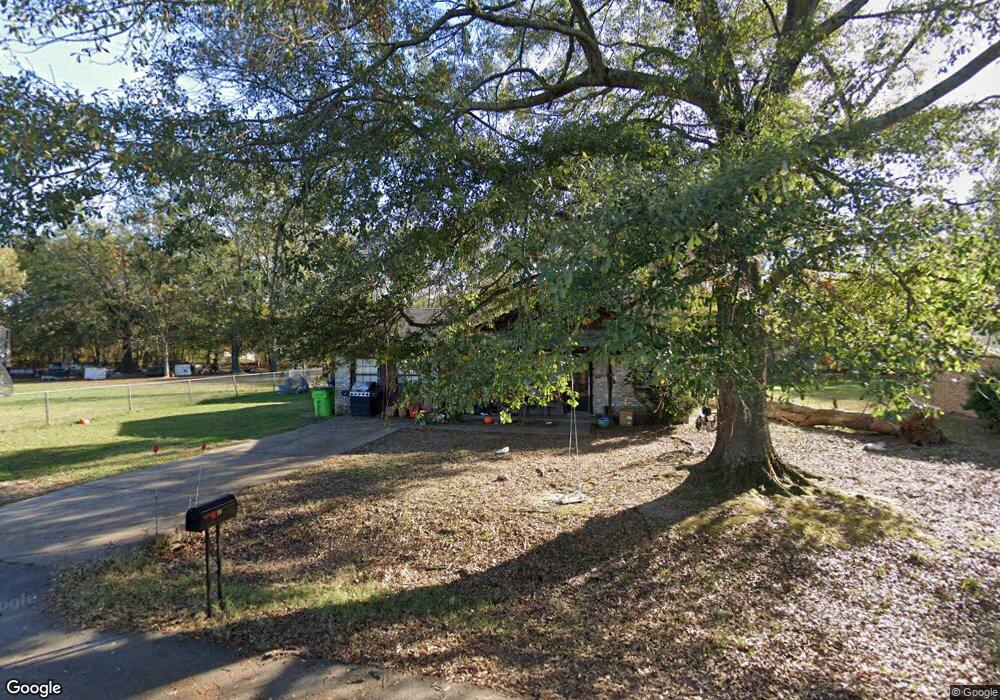
26 Westwood Dr Carlisle, AR 72024
Estimated Value: $121,332 - $164,000
--
Bed
--
Bath
1,595
Sq Ft
$86/Sq Ft
Est. Value
About This Home
This home is located at 26 Westwood Dr, Carlisle, AR 72024 and is currently estimated at $137,083, approximately $85 per square foot. 26 Westwood Dr is a home with nearby schools including Carlisle Elementary School and Carlisle High School.
Ownership History
Date
Name
Owned For
Owner Type
Purchase Details
Closed on
Jul 30, 2012
Sold by
Bancorpsouth Bank
Bought by
Simpson Richard W and Simpson Aylene F
Current Estimated Value
Purchase Details
Closed on
Jul 27, 2012
Sold by
Bancorpsouth Bank
Bought by
Simpson Richard W and Simpson Aylene F
Purchase Details
Closed on
Jun 7, 2004
Bought by
Reed and Reed Wf
Purchase Details
Closed on
May 28, 2004
Bought by
Reed and Reed Wf
Purchase Details
Closed on
Nov 23, 1982
Bought by
James Reed and Wife Alice
Create a Home Valuation Report for This Property
The Home Valuation Report is an in-depth analysis detailing your home's value as well as a comparison with similar homes in the area
Home Values in the Area
Average Home Value in this Area
Purchase History
| Date | Buyer | Sale Price | Title Company |
|---|---|---|---|
| Simpson Richard W | -- | -- | |
| Simpson Richard W | -- | -- | |
| Reed | -- | -- | |
| Reed | -- | -- | |
| James Reed | -- | -- | |
| Holloway | -- | -- |
Source: Public Records
Tax History Compared to Growth
Tax History
| Year | Tax Paid | Tax Assessment Tax Assessment Total Assessment is a certain percentage of the fair market value that is determined by local assessors to be the total taxable value of land and additions on the property. | Land | Improvement |
|---|---|---|---|---|
| 2025 | $844 | $15,810 | $600 | $15,210 |
| 2024 | $844 | $15,810 | $600 | $15,210 |
| 2023 | $844 | $15,810 | $600 | $15,210 |
| 2022 | $844 | $15,810 | $600 | $15,210 |
| 2021 | $844 | $15,810 | $600 | $15,210 |
| 2020 | $817 | $15,300 | $600 | $14,700 |
| 2019 | $817 | $15,300 | $600 | $14,700 |
| 2018 | $817 | $15,300 | $600 | $14,700 |
| 2017 | $817 | $15,300 | $600 | $14,700 |
| 2016 | $817 | $15,300 | $600 | $14,700 |
| 2015 | $863 | $16,160 | $600 | $15,560 |
| 2014 | $863 | $16,160 | $600 | $15,560 |
Source: Public Records
Map
Nearby Homes
- 121 Mc Queen Ave
- Lot 16 Mc Kinley Ave
- Lot 15 Mc Kinley Ave
- Lot 14 Mc Kinley Ave
- Lot 12 Mc Kinley Ave
- Lot 13 Mc Kinley Ave
- Lots 12-16 Mc Kinley Ave
- 621 N Williams Ave
- 709 N Williams St
- 820 N Williams St
- 802 N Williams St
- 0 Circle Dr
- 100 Schafer Dr
- 50 Schafer Dr
- 56 and 60 Schafer Dr
- 1202 E 4th St
- 1595 Blue Point Rd
- 31 South Fork
- 1206 Northcutt Rd
- 0 Two Prairie Bayou Unit 21612964
- 24 Westwood Dr
- 22 Westwood Dr
- 20 Westwood Dr
- 705 W Durkee St
- 107 Cal Nichols Ave
- 904 W Main St
- 200 Cal Nichols Ave
- 111 Cal Nichols Ave
- 109 Mcqueen Ave
- 107 Mcqueen Ave
- 804 E Park St
- 1016 W Main St
- 920 W 2nd St
- 108 Mc Kinley Ave
- 805 E Park St
- 415 W 3rd St
- 105 Mckinley Ave
- 115 Mckinley Ave
- 307 S McDonald St
- 303 Willard D Lewis St