26 Whistle Ridge Rd Waynesville, NC 28785
Estimated Value: $483,000 - $890,000
4
Beds
3
Baths
1,476
Sq Ft
$416/Sq Ft
Est. Value
About This Home
This home is located at 26 Whistle Ridge Rd, Waynesville, NC 28785 and is currently estimated at $613,381, approximately $415 per square foot. 26 Whistle Ridge Rd is a home with nearby schools including Junaluska Elementary, Waynesville Middle, and Tuscola High.
Ownership History
Date
Name
Owned For
Owner Type
Purchase Details
Closed on
Dec 4, 2023
Sold by
Bailey Michael F and Bailey Lauralee D
Bought by
Linke Markus and Linke Pamela Anne
Current Estimated Value
Home Financials for this Owner
Home Financials are based on the most recent Mortgage that was taken out on this home.
Original Mortgage
$275,000
Outstanding Balance
$270,548
Interest Rate
7.63%
Mortgage Type
New Conventional
Estimated Equity
$342,833
Purchase Details
Closed on
Apr 2, 2002
Bought by
Bailey Michael F and Bailey Lauralee D
Create a Home Valuation Report for This Property
The Home Valuation Report is an in-depth analysis detailing your home's value as well as a comparison with similar homes in the area
Home Values in the Area
Average Home Value in this Area
Purchase History
| Date | Buyer | Sale Price | Title Company |
|---|---|---|---|
| Linke Markus | $475,000 | None Listed On Document | |
| Linke Markus | $475,000 | None Listed On Document | |
| Bailey Michael F | $225,000 | -- |
Source: Public Records
Mortgage History
| Date | Status | Borrower | Loan Amount |
|---|---|---|---|
| Open | Linke Markus | $275,000 | |
| Closed | Linke Markus | $275,000 |
Source: Public Records
Tax History Compared to Growth
Tax History
| Year | Tax Paid | Tax Assessment Tax Assessment Total Assessment is a certain percentage of the fair market value that is determined by local assessors to be the total taxable value of land and additions on the property. | Land | Improvement |
|---|---|---|---|---|
| 2025 | -- | $339,600 | $52,800 | $286,800 |
| 2024 | $2,366 | $339,600 | $52,800 | $286,800 |
| 2023 | $2,366 | $339,600 | $52,800 | $286,800 |
| 2022 | $2,231 | $339,600 | $52,800 | $286,800 |
| 2021 | $2,231 | $339,600 | $52,800 | $286,800 |
| 2020 | $1,958 | $272,500 | $49,500 | $223,000 |
| 2019 | $1,963 | $272,500 | $49,500 | $223,000 |
| 2018 | $1,963 | $272,500 | $49,500 | $223,000 |
| 2017 | $1,963 | $272,500 | $0 | $0 |
| 2016 | $1,776 | $251,500 | $0 | $0 |
| 2015 | $1,776 | $251,500 | $0 | $0 |
| 2014 | $1,629 | $251,500 | $0 | $0 |
Source: Public Records
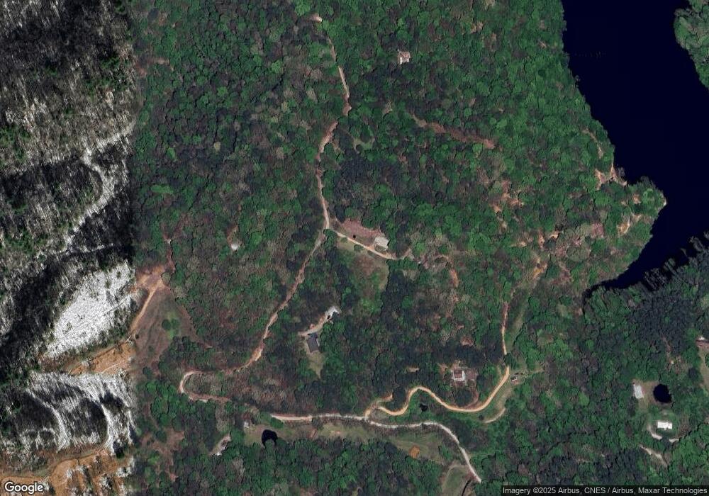
Map
Nearby Homes
- 87 Atkins Loop
- 213 Chapel Dr
- 1465 S Lakeshore Dr Unit B2
- 1465 S Lakeshore Dr Unit D1
- 96 Epworth Way
- 187 Tri Vista Dr
- 55 Tri Vista Dr Unit 703
- 21 Peaceful Way Unit 2
- 21 Gunter Dr
- 40 Panda Trail
- 486 Oxford Rd
- 29 Tillman Rd
- 9999 Kammerer Dr
- 139 Kammerer Dr
- 38 Eden Ln
- 268 Stuart Cir
- 89 Patton Park Dr
- 106 Hoosier Ct
- L# 102 Hoosier Ct Unit 102
- 185 Jb Ivey Ln
- P of PIN Pinson Trail
- 30 Pinson Trail
- 64 Pinson Trail
- 150 Whittle Dr
- Lot #1 Pinson Trail
- 26 Whittle Dr
- 00 Whittle Dr
- P of PIN Lambuth Dr
- 58 Logan Dr
- 215 Atkins Loop
- 199 Atkins Loop
- 210 Atkins Loop
- 220 Atkins Loop
- 276 Atkins Loop
- 232 Atkins Loop
- 175 Atkins Loop
- 280 Atkins Loop
- 244 Atkins Loop
- 158 Atkins Loop
- 306 Atkins Loop