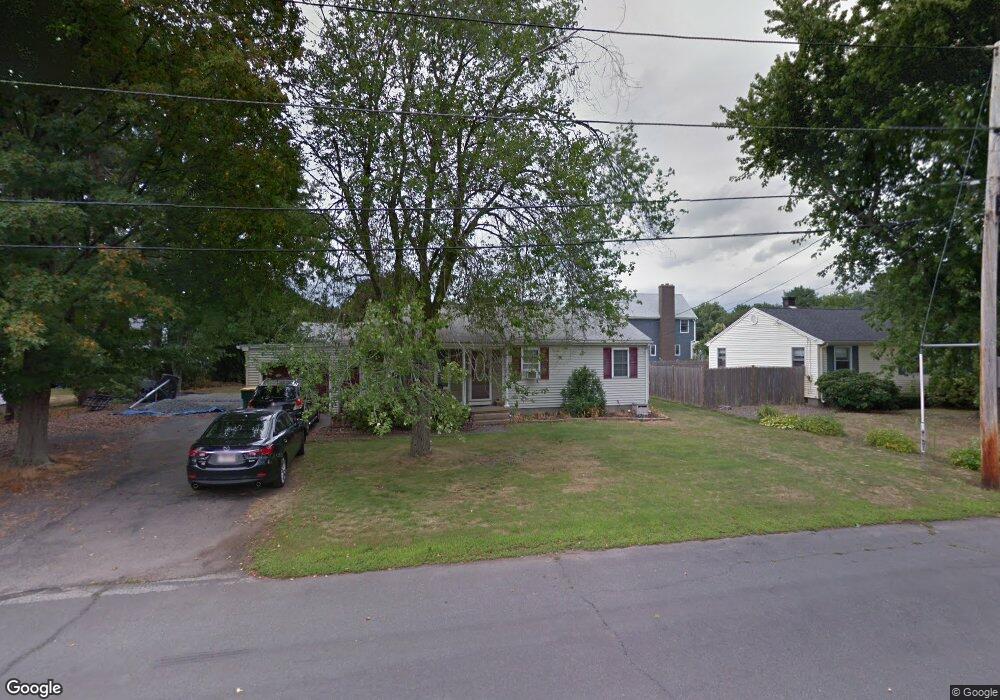
26 William Tanner Ave North Attleboro, MA 02760
North Attleboro NeighborhoodEstimated Value: $492,402 - $567,000
3
Beds
1
Bath
1,120
Sq Ft
$474/Sq Ft
Est. Value
About This Home
This home is located at 26 William Tanner Ave, North Attleboro, MA 02760 and is currently estimated at $530,351, approximately $473 per square foot. 26 William Tanner Ave is a home located in Bristol County with nearby schools including North Attleboro High School, Cadence Academy Preschool - North Attleborough, and Bishop Feehan High School.
Ownership History
Date
Name
Owned For
Owner Type
Purchase Details
Closed on
Jan 13, 2004
Sold by
Lawton Gregory and Devlin Leo E
Bought by
Giusti Gene M and Giusti Tammy A
Current Estimated Value
Home Financials for this Owner
Home Financials are based on the most recent Mortgage that was taken out on this home.
Original Mortgage
$178,000
Outstanding Balance
$83,128
Interest Rate
5.88%
Mortgage Type
Purchase Money Mortgage
Estimated Equity
$447,223
Create a Home Valuation Report for This Property
The Home Valuation Report is an in-depth analysis detailing your home's value as well as a comparison with similar homes in the area
Home Values in the Area
Average Home Value in this Area
Purchase History
| Date | Buyer | Sale Price | Title Company |
|---|---|---|---|
| Giusti Gene M | $223,000 | -- |
Source: Public Records
Mortgage History
| Date | Status | Borrower | Loan Amount |
|---|---|---|---|
| Open | Giusti Gene M | $178,000 |
Source: Public Records
Tax History Compared to Growth
Tax History
| Year | Tax Paid | Tax Assessment Tax Assessment Total Assessment is a certain percentage of the fair market value that is determined by local assessors to be the total taxable value of land and additions on the property. | Land | Improvement |
|---|---|---|---|---|
| 2025 | $4,934 | $418,500 | $137,400 | $281,100 |
| 2024 | $4,673 | $404,900 | $137,400 | $267,500 |
| 2023 | $4,574 | $357,600 | $137,400 | $220,200 |
| 2022 | $4,233 | $303,900 | $137,400 | $166,500 |
| 2021 | $4,447 | $311,600 | $137,400 | $174,200 |
| 2020 | $4,193 | $292,200 | $137,400 | $154,800 |
| 2019 | $3,983 | $279,700 | $124,900 | $154,800 |
| 2018 | $3,510 | $263,100 | $124,900 | $138,200 |
| 2017 | $3,387 | $256,200 | $124,900 | $131,300 |
| 2016 | $3,273 | $247,600 | $138,800 | $108,800 |
| 2015 | $3,129 | $238,100 | $138,800 | $99,300 |
| 2014 | $2,927 | $221,100 | $121,900 | $99,200 |
Source: Public Records
Map
Nearby Homes
- 116 George St
- 16 Raymond Hall Dr
- 15 Old Wood Rd
- 10 Sleepy Hollow Cir
- 11 Landry Ave
- 28 Messenger St
- 33 Dublin Way
- 2 George St Unit C
- 9 Sunnyside Dr Unit 9
- 166 E Bacon St Unit 4
- 57 Vine St
- Lot 5 Jeffrey Dr
- Lot 2 Jeffrey Dr
- 24 Red Coat Ln
- 2 Woodridge St Unit 2
- 12 Houde St
- 115 Westfield Dr
- 52 George St Unit B
- 4 Garden Ln
- 17 Peters Way
- 34 William Tanner Ave
- 20 William Tanner Ave
- 27 Ellen St
- 86 George St
- 21 Ellen St
- 27 William Tanner Ave
- 33 William Tanner Ave
- 19 William Tanner Ave
- 12 William Tanner Ave
- 79 George St
- 71 George St
- 11 William Tanner Ave
- 24 Ellen St
- 28 Esther Ave
- 34 Esther Ave
- 513 Kelley Blvd
- 100 George St
- 22 Esther Ave
- 89 George St
- 63 George St