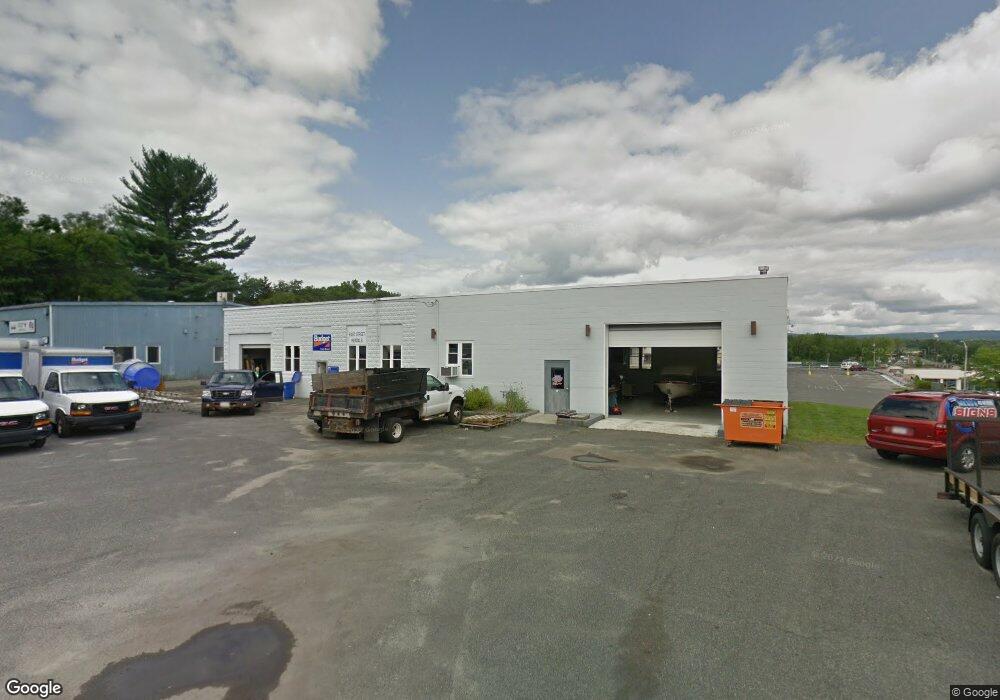
26 Yorkshire Ave Pittsfield, MA 01201
Estimated Value: $438,229
--
Bed
1
Bath
4,000
Sq Ft
$110/Sq Ft
Est. Value
About This Home
This home is located at 26 Yorkshire Ave, Pittsfield, MA 01201 and is currently estimated at $438,229, approximately $109 per square foot. 26 Yorkshire Ave is a home located in Berkshire County with nearby schools including Allendale Elementary School, Theodore Herberg Middle School, and Pittsfield High School.
Ownership History
Date
Name
Owned For
Owner Type
Purchase Details
Closed on
May 6, 2008
Sold by
Castine Realty Co and Castine
Bought by
Cadran Llc
Current Estimated Value
Home Financials for this Owner
Home Financials are based on the most recent Mortgage that was taken out on this home.
Original Mortgage
$199,500
Outstanding Balance
$127,067
Interest Rate
5.99%
Mortgage Type
Commercial
Estimated Equity
$311,162
Create a Home Valuation Report for This Property
The Home Valuation Report is an in-depth analysis detailing your home's value as well as a comparison with similar homes in the area
Home Values in the Area
Average Home Value in this Area
Purchase History
| Date | Buyer | Sale Price | Title Company |
|---|---|---|---|
| Cadran Llc | $200,000 | -- | |
| Cadran Llc | $200,000 | -- | |
| Cadran Llc | $200,000 | -- |
Source: Public Records
Mortgage History
| Date | Status | Borrower | Loan Amount |
|---|---|---|---|
| Open | Cadran Llc | $199,500 | |
| Closed | Cadran Llc | $199,500 |
Source: Public Records
Tax History Compared to Growth
Tax History
| Year | Tax Paid | Tax Assessment Tax Assessment Total Assessment is a certain percentage of the fair market value that is determined by local assessors to be the total taxable value of land and additions on the property. | Land | Improvement |
|---|---|---|---|---|
| 2025 | $7,379 | $194,400 | $71,800 | $122,600 |
| 2024 | $7,700 | $194,400 | $71,800 | $122,600 |
| 2023 | $7,622 | $194,400 | $71,800 | $122,600 |
| 2022 | $6,795 | $170,300 | $71,800 | $98,500 |
| 2021 | $6,810 | $170,300 | $71,800 | $98,500 |
| 2020 | $6,873 | $170,300 | $71,800 | $98,500 |
| 2019 | $7,317 | $183,200 | $71,800 | $111,400 |
| 2018 | $7,324 | $183,200 | $71,800 | $111,400 |
| 2017 | $7,288 | $183,200 | $71,800 | $111,400 |
| 2016 | $6,976 | $183,300 | $71,800 | $111,500 |
| 2015 | $6,714 | $183,300 | $71,800 | $111,500 |
Source: Public Records
Map
Nearby Homes
- 25 Kensington Ave
- 38 Allengate Ave
- 326 Dalton Ave
- 122 Allengate Ave
- 165 Connecticut Ave
- 45 Patricia Ave
- 98 Oak Hill Rd
- 81 Dartmouth St Unit 102
- 11 Stanley Ave
- 46 Bossidy Dr
- 52 Bossidy Dr
- 40 Roland St
- 127 Oak Hill Rd
- 41 Perrine Ave
- 134 Oak Hill Rd
- 82 Williamsburg Terrace
- 919 Tyler St
- 156 Draper Ave
- 17 Kittredge Rd
- 50 Grand Ave
- 28 Yorkshire Ave
- 16 Yorkshire Ave
- 44 Yorkshire Ave
- 25 Yorkshire Ave
- 31 Yorkshire Ave
- 48 Yorkshire Ave
- 35 Yorkshire Ave
- 21 Yorkshire Ave
- 41 Yorkshire Ave
- 17 Yorkshire Ave
- 441 Dalton Ave
- 52 Yorkshire Ave
- 439 Dalton Ave
- 1 Manchester Ave
- 49 Yorkshire Ave
- 244 Elberon Ave
- 457 Dalton Ave
- 423 Dalton Ave
- 26 Kensington Ave
- 22 Kensington Ave