260 Barrett Ln Harrisburg, IL 62946
Estimated Value: $137,037 - $208,000
--
Bed
--
Bath
--
Sq Ft
1.74
Acres
About This Home
This home is located at 260 Barrett Ln, Harrisburg, IL 62946 and is currently estimated at $160,009. 260 Barrett Ln is a home located in Saline County with nearby schools including East Side Intermediate School, Harrisburg Middle School, and Harrisburg High School.
Ownership History
Date
Name
Owned For
Owner Type
Purchase Details
Closed on
Feb 9, 2011
Sold by
Carlson Patricia Porter
Bought by
Morris Damian J and Morris Tashia M
Current Estimated Value
Purchase Details
Closed on
Oct 2, 2007
Sold by
Glass George Robert
Bought by
Morris Damian J and Morris Tashia M
Home Financials for this Owner
Home Financials are based on the most recent Mortgage that was taken out on this home.
Original Mortgage
$62,800
Interest Rate
6.12%
Mortgage Type
Future Advance Clause Open End Mortgage
Create a Home Valuation Report for This Property
The Home Valuation Report is an in-depth analysis detailing your home's value as well as a comparison with similar homes in the area
Home Values in the Area
Average Home Value in this Area
Purchase History
| Date | Buyer | Sale Price | Title Company |
|---|---|---|---|
| Morris Damian J | $6,000 | None Available | |
| Morris Damian J | $78,500 | None Available |
Source: Public Records
Mortgage History
| Date | Status | Borrower | Loan Amount |
|---|---|---|---|
| Previous Owner | Morris Damian J | $62,800 |
Source: Public Records
Tax History Compared to Growth
Tax History
| Year | Tax Paid | Tax Assessment Tax Assessment Total Assessment is a certain percentage of the fair market value that is determined by local assessors to be the total taxable value of land and additions on the property. | Land | Improvement |
|---|---|---|---|---|
| 2024 | $2,331 | $38,564 | $3,223 | $35,341 |
| 2023 | $2,086 | $32,687 | $2,732 | $29,955 |
| 2022 | $1,797 | $28,040 | $2,575 | $25,465 |
| 2021 | $1,892 | $28,907 | $2,655 | $26,252 |
| 2020 | $1,844 | $28,040 | $2,575 | $25,465 |
| 2019 | $1,860 | $28,040 | $2,575 | $25,465 |
| 2018 | $1,884 | $28,040 | $2,575 | $25,465 |
| 2017 | $1,849 | $28,040 | $2,575 | $25,465 |
| 2016 | $18 | $28,040 | $2,575 | $25,465 |
| 2015 | -- | $28,040 | $2,575 | $25,465 |
| 2014 | $1,658 | $28,040 | $2,575 | $25,465 |
| 2013 | $1,658 | $28,040 | $2,575 | $25,465 |
| 2012 | $1,658 | $27,010 | $2,575 | $24,435 |
Source: Public Records
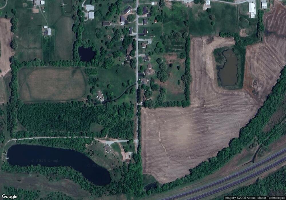
Map
Nearby Homes
- 104 Hickory St
- 205 S Shaw St
- 405 S Shaw St
- 615 Liberty Rd
- 827 W Raymond St
- 1116 S Holland St
- 885 Liberty Rd
- 614 W College St
- 504 W South St
- 1120 Dorris Heights Rd
- 500 W Sloan St
- 430 W Church St
- 204 N Sherman St
- 1006 S Land St
- 1116 S Land St
- 520 S Mckinley St
- 618 S Mckinley St
- 305 W Church St
- 734 S Mckinley St
- 305 W Lincoln St