260 Brookbend Rd Fairfield, CT 06824
University NeighborhoodEstimated Value: $1,571,000 - $2,150,000
About This Home
This home is located at 260 Brookbend Rd, Fairfield, CT 06824 and is currently estimated at $1,726,638, approximately $597 per square foot. 260 Brookbend Rd is a home located in Fairfield County with nearby schools including Riverfield Elementary School, Roger Ludlowe Middle School, and Fairfield Ludlowe High School.
Ownership History
We collect this data history from publicly available records. To have your information removed, we recommend requesting removal directly through your county’s website.
Purchase Details
Home Values in the Area
Average Home Value in this Area
Purchase History
We collect this data history from publicly available records. To have your information removed, we recommend requesting removal directly through your county’s website.
| Date | Buyer | Sale Price | Title Company |
|---|---|---|---|
| $1,200,000 | -- |
Tax History
We collect this data history from publicly available records. To have your information removed, we recommend requesting removal directly through your county’s website.
| Year | Tax Paid | Tax Assessment Tax Assessment Total Assessment is a certain percentage of the fair market value that is determined by local assessors to be the total taxable value of land and additions on the property. | Land | Improvement |
|---|---|---|---|---|
| 2025 | $16,910 | $595,630 | $332,430 | $263,200 |
| 2024 | $16,618 | $595,630 | $332,430 | $263,200 |
| 2023 | $16,386 | $595,630 | $332,430 | $263,200 |
| 2022 | $16,225 | $595,630 | $332,430 | $263,200 |
| 2021 | $16,070 | $595,630 | $332,430 | $263,200 |
| 2020 | $18,492 | $690,270 | $386,890 | $303,380 |
| 2019 | $18,492 | $690,270 | $386,890 | $303,380 |
| 2018 | $18,196 | $690,270 | $386,890 | $303,380 |
| 2017 | $4,414 | $690,270 | $386,890 | $303,380 |
| 2016 | $17,567 | $690,270 | $386,890 | $303,380 |
| 2015 | $17,492 | $705,600 | $415,940 | $289,660 |
| 2014 | $17,217 | $705,600 | $415,940 | $289,660 |
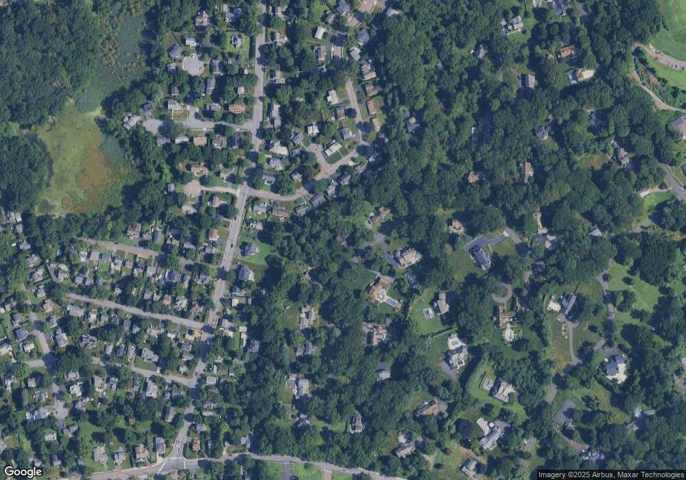
Map
- 170 Dunnlea Rd
- 200 Henry St
- 240 Henry St
- 12 Sconset Dr
- 385 Unquowa Rd Unit 385
- 647 Bronson Rd
- 164 Ludlowe Rd
- 245 Unquowa Rd Unit 44
- 245 Unquowa Rd Unit 126
- 533 N Benson Rd
- 54 Timothy St
- 104 Henderson Rd
- 25 Beaumont St
- 79 Thorpe St
- 1747 Jennings Rd
- 1646 Jennings Rd
- 18 Hurd St
- 35 S Benson Commons
- 120 S Pine Creek Rd
- 79 Fairfield Place
- 280 Brookbend Rd
- 918 Mill Plain Rd
- 302 Brookbend Rd
- 918 Mill Plain Rd
- 934 Mill Plain Rd
- 956 Mill Plain Rd
- 896 Mill Plain Rd
- 41 Taunton Rd
- 267 Brookbend Rd
- 886 Mill Plain Rd
- 29 Taunton Rd
- 876 Mill Plain Rd
- 61 Taunton Rd
- 212 Brookbend Rd
- 336 Brookbend Rd
- 209 Brookbend Rd
- 868 Mill Plain Rd
- 9 Taunton Rd
- 67 Taunton Rd
- 327 Brookbend Rd
Ask me questions while you tour the home.